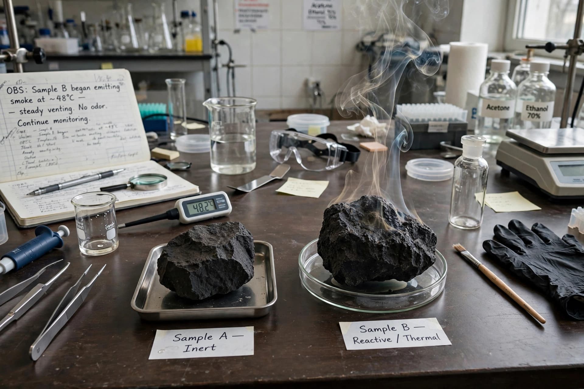
In the quiet hours of desert nights, when heat loosens its grip and the earth begins to breathe again, small movements stir beneath stones and within cracks of dry soil. Scorpions, ancient and patient, emerge not with spectacle but with instinct. For centuries they have shared landscapes with farmers, children, travelers — often unseen, sometimes fatal. Their presence is as old as the deserts themselves, yet our understanding of where danger gathers has remained uneven, like footprints scattered across sand.
Now, a convergence of field observations and computer modeling is beginning to draw clearer lines across that shifting terrain. Researchers, blending boots-on-the-ground data with climate simulations and geographic mapping, are identifying patterns that reveal where the world’s most dangerous scorpion species are likely to thrive. The work does not aim to dramatize fear, but to illuminate risk — gently, precisely, and with purpose.
Across regions of North Africa, the Middle East, Latin America, and parts of South Asia, scorpion stings remain a serious public health concern. The World Health Organization estimates that more than a million stings occur globally each year, with thousands of deaths, many involving children in rural communities. Yet scorpions do not distribute themselves randomly. Their survival depends on temperature, humidity, soil composition, vegetation cover, and proximity to human settlements. These environmental preferences form a kind of ecological fingerprint.
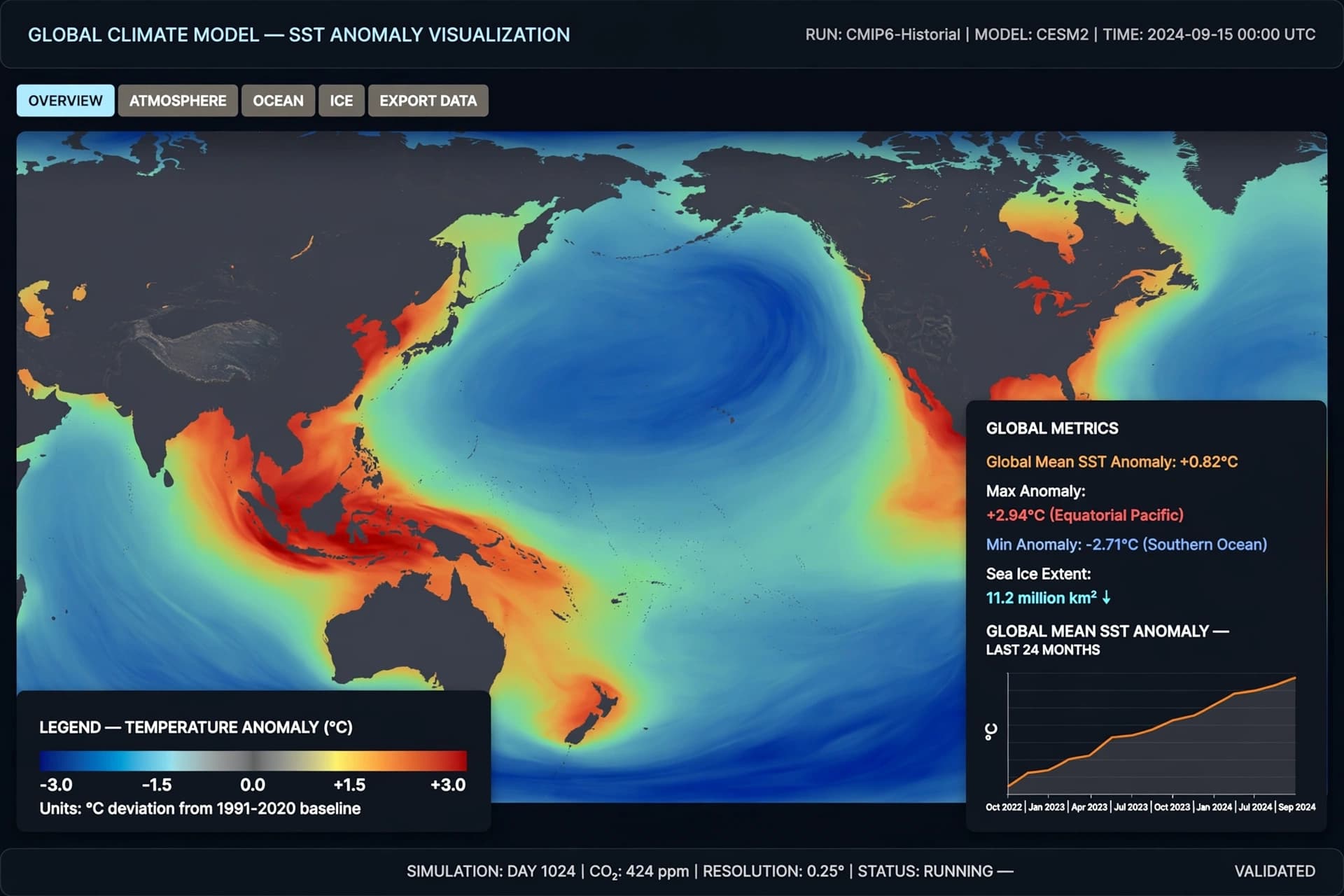
By combining long-term field surveys — documenting where specific species are found — with satellite data and machine-learning models, scientists can now project “hotspots” where venomous species are most likely to cluster. The models analyze climate variables, land-use patterns, and elevation, building probability maps that extend beyond currently documented areas. In effect, they offer a forecast: not of weather, but of biological risk.
The method resembles assembling a mosaic. Field researchers contribute precise tiles — the confirmed presence of species such as highly venomous desert scorpions in arid belts or bark scorpions in semi-urban zones. Computer models then connect those tiles, filling in likely gaps where environmental conditions mirror known habitats. As global temperatures shift and urbanization expands into once-wild terrain, these predictive tools become especially valuable. Climate change may widen suitable habitats in some regions while shrinking them in others, subtly redrawing the map of risk.
There is a practical quietness to this research. Health ministries can use hotspot projections to stock antivenom supplies more strategically. Rural clinics can prepare training and response protocols in areas flagged as high probability. Public awareness campaigns can focus on preventive measures — simple practices such as shaking out shoes, sealing cracks in walls, and improving nighttime lighting. In some regions, predictive mapping may guide housing development or agricultural expansion, reducing unintended contact between people and scorpions.
The models are not declarations of certainty. They are tools shaped by probabilities, refined with each new data point. Scientists acknowledge that local microclimates and human behavior can shift outcomes in ways no algorithm fully captures. Still, the merging of observation and computation offers something that was once elusive: foresight grounded in evidence.
In a broader sense, this work reflects a changing philosophy in public health. Rather than reacting only after harm occurs, researchers aim to anticipate. The desert, after all, does not announce its risks loudly. It requires attention — to terrain, to temperature, to patterns that reveal themselves only over time.
Recent studies published in leading scientific journals suggest that these predictive models are already improving accuracy in identifying high-risk zones. International health organizations continue to monitor the findings, integrating them into regional planning strategies. As data collection expands and climate models grow more refined, the maps will likely sharpen further.
Scorpions will remain part of the ecosystems they have inhabited for hundreds of millions of years. But with clearer maps and informed preparation, the space between encounter and emergency may narrow. Knowledge, patiently gathered, becomes its own form of shelter.
AI Image Disclaimer Graphics are AI-generated and intended for representation, not reality.
Sources
BBC News The Guardian National Geographic Nature Science
Published by Banx Network. This article is part of the Banx decentralized media programme, powered by the BXE token on the XRP Ledger.