Before the clouds gather, there is often a quiet shift in the air — a softness that feels almost like a held breath. Along Australia’s eastern shoreline, where the ocean meets cities and hinterland hills, that breath has grown heavy. Meteorologists describe it as a humid and unstable airmass, but to those watching the sky, it feels more like a slow unfurling curtain, hinting at days shaped by rain, thunder, and rising rivers.
Across parts of Australia’s east coast, forecasters are tracking a moisture-laden system that is expected to bring widespread rainfall, possible flooding, and scattered thunderstorms. The combination of deep humidity and atmospheric instability creates conditions in which showers can rapidly intensify. What begins as a gray drift overhead may, in a matter of hours, turn into heavy downpours accompanied by lightning and gusty winds.
Communities stretching from southern Queensland through New South Wales are being advised to monitor conditions closely. In cities such as Sydney and Brisbane, saturated air is forecast to collide with upper-level disturbances, increasing the likelihood of storm development. When the atmosphere becomes unstable, it behaves like a restless sea — pockets of warm, moist air rising quickly, condensing into towering clouds that release their weight in bursts of rain.
Forecasters note that the primary concern lies not only in thunderstorms themselves, but in the potential for localized flash flooding. Repeated bands of rain moving over the same areas can overwhelm drainage systems and small waterways. Rivers already running high from previous rainfall may respond quickly to additional inflows. In low-lying neighborhoods and flood-prone roads, even brief but intense showers can create hazardous conditions.
The Bureau of Meteorology has indicated that rainfall totals may vary significantly from one suburb to the next — a reminder of how fragmented and unpredictable convective systems can be. One community might experience only steady rain, while another, a few miles away, could see thunderstorms accompanied by sudden, heavy bursts. This unevenness is characteristic of humid summer patterns, where energy builds quietly before releasing itself in scattered pulses.
Emergency services are encouraging residents to remain alert to warnings, particularly in areas historically vulnerable to flash flooding. Drivers are urged to avoid entering floodwaters, and households are advised to secure loose outdoor items ahead of potential gusty winds. While many will welcome the rain for gardens and reservoirs, authorities emphasize the importance of preparedness during periods of atmospheric instability.
The coming days are expected to remain unsettled as the airmass lingers over the region. Forecast updates will continue as meteorologists monitor rainfall intensity, storm development, and river conditions. Residents are advised to check official weather warnings regularly and follow guidance from local emergency authorities as conditions evolve.
In the rhythm of Australia’s climate, such patterns are not unfamiliar. Yet each event carries its own shape, its own story written in cloud and water. For now, the east coast watches the sky — aware that within its shifting shades lies both relief and risk.
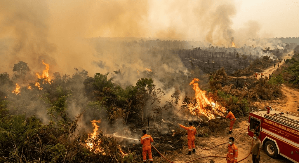
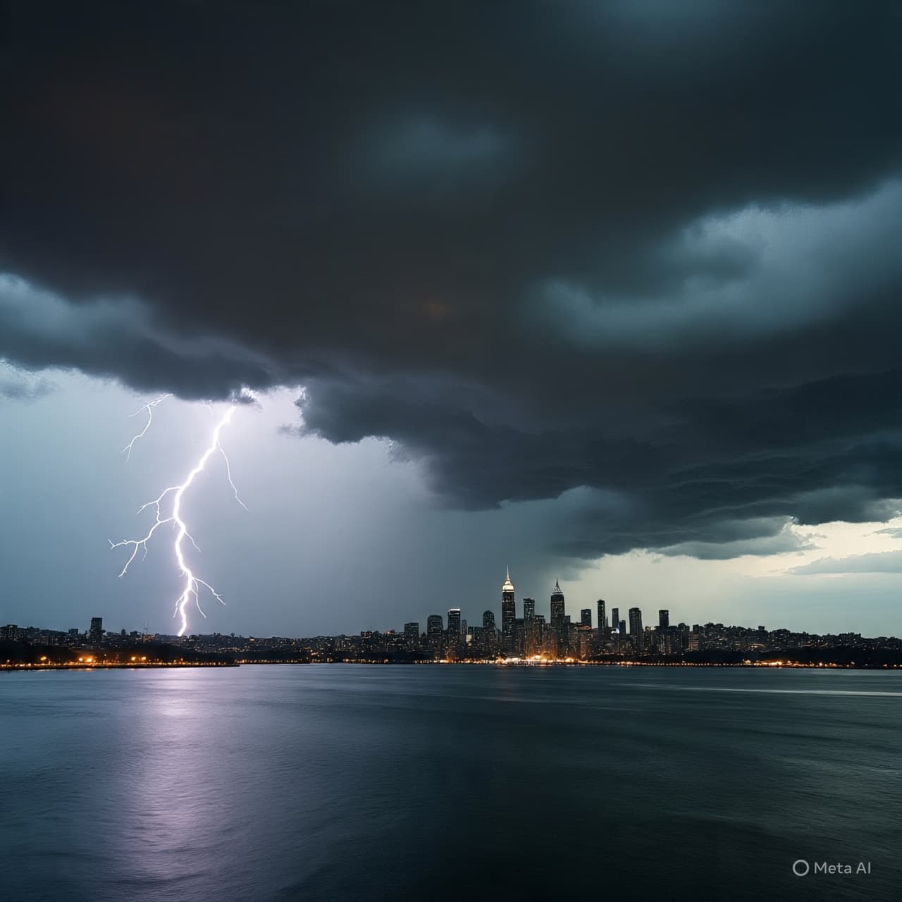
AI Image Disclaimer Visuals are created with AI tools and are not real photographs.
Sources (Source Check – Credible Media Outlets)
Australian Broadcasting Corporation (ABC News) The Sydney Morning Herald The Guardian Australia Bureau of Meteorology (Australia) 9News Australia
Published by Banx Network. This article is part of the Banx decentralized media programme, powered by the BXE token on the XRP Ledger.