Key Highlights
- Record El Niño: Vernon faces the strongest El Niño event on record, expected to peak in late 2026.
- Temperature Predictions:There is a 78% chance of above-normal winter temperatures, with a 63% likelihood of unusual warmth.
- Snowpack Concerns:A 77% probability of below-normal snowpack raises risks of drought and flooding.
[El Niño's Impact on Vernon]
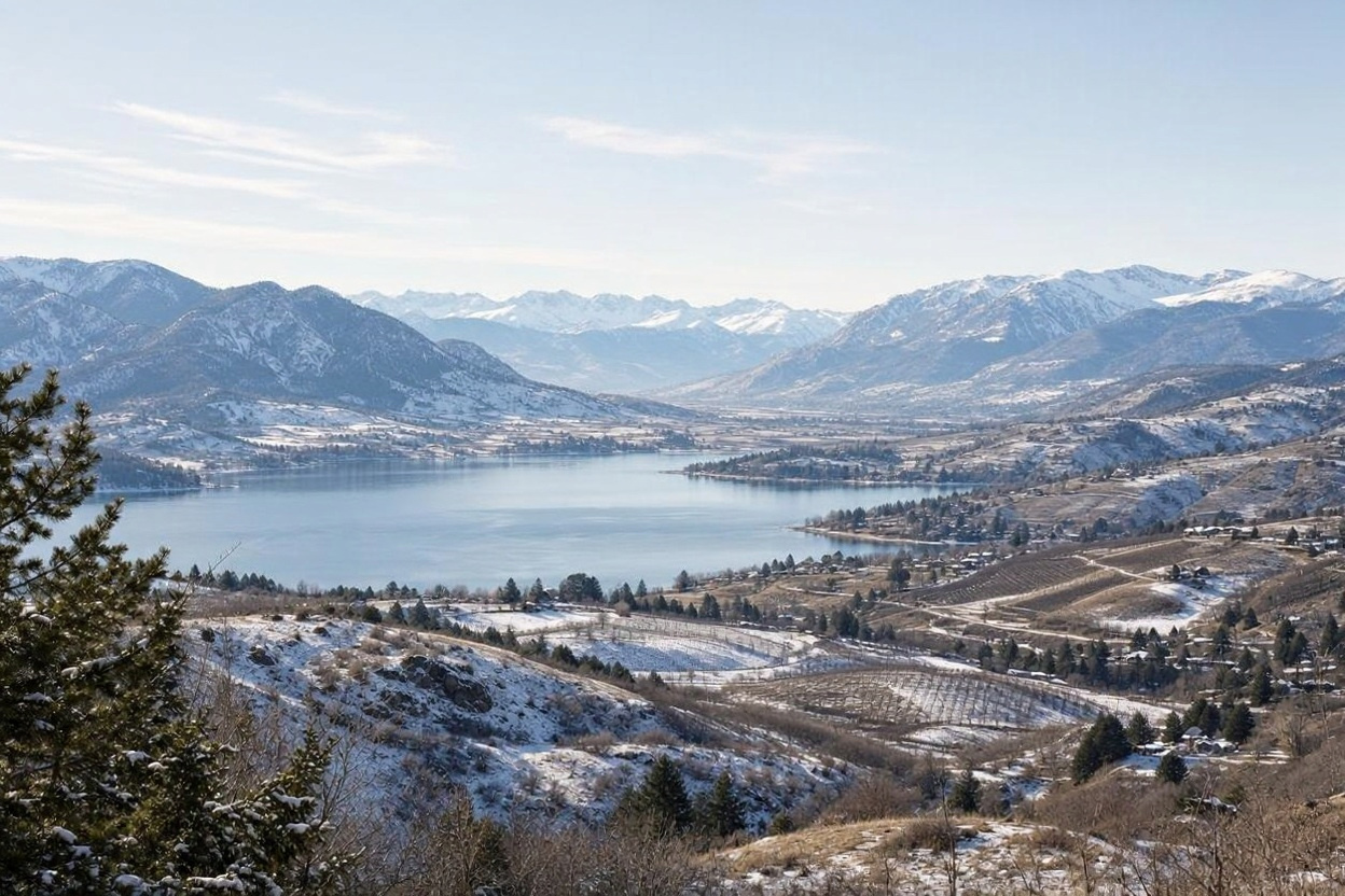
In the Okanagan Valley, winter has always been a delicate balance between the needs of orchardists, skiers, and city planners. This year, however, the dynamics are shifting dramatically due to an impending climate phenomenon originating thousands of miles away in the warm waters of the equatorial Pacific. Vernon is preparing for what climate scientists predict to be the strongest El Niño event on record, which could have profound implications for the region's winter weather.
According to a briefing prepared for the Vernon city council by Hayley Dosser, a physical scientist with the Canadian Centre for Climate Services, there is a staggering 90% probability that this El Niño will exceed all previous records. The event is expected to persist until at least March 2027, with its peak occurring in late 2026. This forecast was set to be discussed at the city council's regular meeting, highlighting the urgency of the situation.
The implications for Vernon are both specific and alarming. The city faces a 78% probability of experiencing temperatures that remain above normal this winter, with a more than 63% chance of unusually warm conditions. As the region looks ahead to spring 2027, these figures escalate to a 94% chance of above-normal temperatures and an 86% probability of unusual warmth. This shift suggests that the cold snaps traditionally associated with winter may become less frequent and less severe, fundamentally altering the seasonal landscape.
One of the most concerning aspects of this forecast is the anticipated impact on snowpack. The report indicates a 77% probability of below-normal snow water equivalent by spring 2027. This reduction in snow accumulation poses a significant risk of drought, as the region's summer water supply heavily relies on winter precipitation. A diminished snowpack is not merely an inconvenience; it represents a looming crisis that will manifest months later when creeks run low and soil moisture diminishes.
In addition to the direct effects on temperature and snowpack, the report outlines secondary risks associated with reduced snow and earlier spring melting. These conditions heighten the likelihood of local flooding, landslides, and disruptions to transportation networks. Paradoxically, while the forecast suggests a milder winter, it may also set the stage for instability during the thaw, leading to unexpected challenges for the community.
El Niño events are notoriously complex, and their effects can vary significantly. The Canadian Centre for Climate Services' projections are informed by global seasonal prediction systems that show a consensus on the event's trajectory. However, it is crucial to remember that forecasts are probabilities rather than certainties. The winter may indeed arrive warmer than usual, or it may not; the snowpack may fall short, or it may exceed expectations. The science provides a direction of travel but not a definitive outcome.
As Vernon prepares for this unprecedented winter, the briefing to the city council marks a critical first step. It acknowledges that the upcoming season may not resemble those of the past. The true impact will unfold in the months ahead, as the region awaits the decisions made by the Pacific Ocean and the weather patterns that follow.
The images in this article were generated using AI.
Published by Banx Network. This article is part of the Banx decentralized media programme, powered by the BXE token on the XRP Ledger.