There is a particular kind of vulnerability that comes from below, a failure that begins where no one can see it. The Thwaites Glacier in West Antarctica has been called the Doomsday Glacier for years, a nickname that reflects its size and its potential to reshape coastlines around the world. But until recently, the models that scientists used to project its future were missing something crucial: the water. Warm ocean water, it turns out, is reaching deep beneath the glacier, melting it from below in a way that conventional models did not capture.
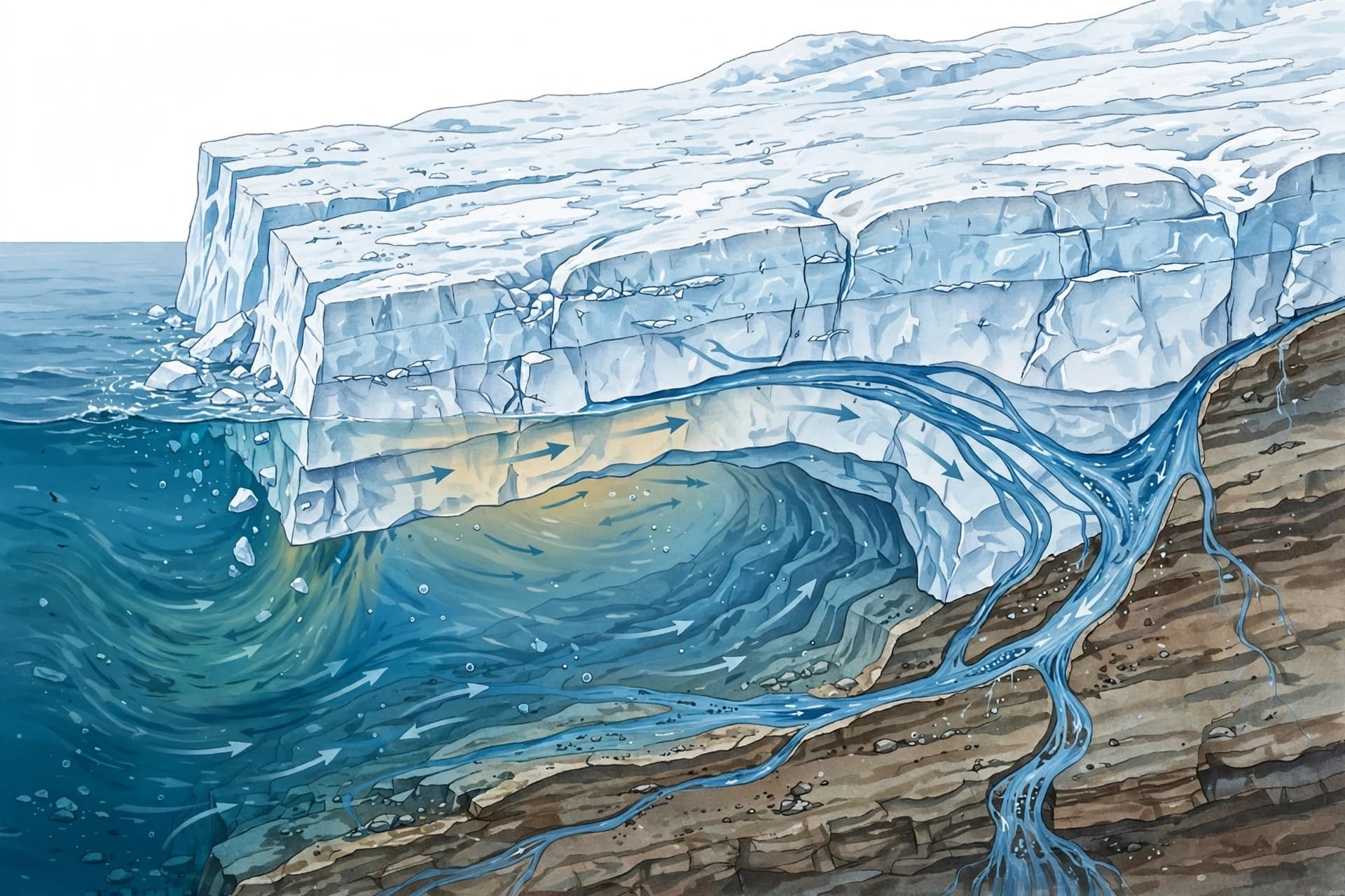
The new research, led by Mattia Poinelli at the University of California, Irvine, and NASA's Jet Propulsion Laboratory, focused on the grounding zone—the region where the glacier lifts off the seafloor and begins to float. Previous models treated this boundary as a narrow, fixed line. The new model treats it as a zone several kilometers wide, where tides lift and lower the ice, allowing warm seawater to penetrate far beneath the glacier . This "tidal pumping" exposes the underside of the ice to warm water repeatedly, accelerating melting.
The results are sobering. When the model accounts for this broader grounding zone, it reproduces the changes that satellites have observed in Thwaites over the past few decades—changes that earlier models failed to match. And when projected forward, it predicts that the glacier could contribute as much as 30 millimeters to global sea-level rise by 2100, roughly double previous estimates . That is without any additional warming beyond recent conditions.
The stakes extend beyond the melting itself. Thwaites is currently held in place by an underwater feature called the Mouginot Ridge, which acts as a brake on the glacier's retreat. The new simulations suggest a 60 percent probability that Thwaites will detach from the ridge by the end of the century, potentially as early as the late 2030s . Once unpinned, the glacier would retreat across a seafloor that slopes downward toward the interior of Antarctica, exposing more ice to warm water and accelerating the process further.
Eric Rignot, a co-author on the study, described the shift in understanding. "We have documented and quantified the impacts of climate change on our planet's sensitive ice sheets for decades," he said, "but a mounting realization gained in recent years of what is happening on the undersides of glaciers like Thwaites is leading to an even greater sense of alarm" . The earlier projections, he noted, struggled to match the rapidity of mass loss because of missing physics. The new model, with more complete physics, produces projections that are twice as large.
Thwaites currently accounts for about 4 percent of global sea-level rise and has lost more than a trillion tons of ice since 2000 . If it were to collapse entirely, it could raise sea levels by roughly 65 centimeters, and its loss could destabilize the wider West Antarctic Ice Sheet, with consequences measured in meters rather than centimeters . The new research does not predict collapse. It predicts faster melting, a more rapid retreat, and a greater contribution to seas that are already rising.
For coastal communities, the implications are practical. Higher seas mean more flooding, more erosion, more storm surge. The timeline is measured in decades, not centuries, and the uncertainty is not about whether the water will rise but about how quickly and how much. The research does not offer a solution. It offers a clearer picture of the problem, which is the necessary first step toward responding to it.
Image note: The visuals in this article were generated using artificial intelligence and do not depict actual satellite imagery or the researchers involved.
Sources: PreventionWeb, Daily Sabah, Geographical, Grist, The Times of India, Nature Communications
Published by Banx Network. This article is part of the Banx decentralized media programme, powered by the BXE token on the XRP Ledger.