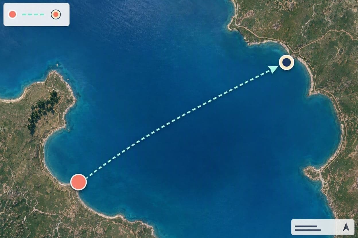
Nature has a way of defying our static expectations, reminding us that the earth beneath our feet is often more fluid than we imagine. In the vast wilderness of British Columbia, a peculiar phenomenon recently captured the attention of scientists and observers alike. An island, seemingly anchored in the waters of Williston Lake, appeared to vanish into thin air, only to resurface miles away from its original location. This drifting landmass, tracked by satellite imagery, offers a fascinating glimpse into the dynamic processes that shape our natural world.
The story began when locals and researchers noticed the absence of a small island that had previously been a known feature of the reservoir. Initial reports sparked curiosity and some confusion, as islands are typically perceived as permanent fixtures in the landscape. However, subsequent satellite analysis revealed that the land had not disappeared but had instead embarked on an unexpected journey across the water. The imagery confirmed its presence roughly twenty miles from where it was last seen, floating near the shore.
This event is attributed to the unique geological composition of the area. The "island" was likely a large chunk of peat or organic material that had detached from the lakebed or shoreline. Peatlands, common in northern regions, can become buoyant when saturated with water and gas buildup occurs beneath them. When these sections break free, they can float like massive rafts, driven by wind and currents until they find a new resting place. It is a rare but documented occurrence in certain aquatic environments.
Satellite technology played a crucial role in solving this mystery. By comparing images taken over several weeks, experts were able to trace the path of the floating landmass. The clarity of modern remote sensing allows for precise monitoring of such changes, providing valuable data for environmental studies. This capability not only helps in understanding natural phenomena but also aids in managing water resources and assessing ecological impacts.
The movement of such a large organic mass has implications for the local ecosystem. As it drifts, it may transport nutrients, seeds, and even small organisms to new areas, potentially influencing biodiversity in different parts of the lake. Additionally, the displacement of material from the lakebed can affect water depth and flow patterns, albeit on a localized scale. Scientists continue to study these effects to better understand the interconnectedness of aquatic systems.
For the residents nearby, the sighting was both surprising and intriguing. It serves as a reminder of the power of natural forces and the importance of observing changes in the environment. Such events often spark conversations about climate change and its potential influence on weather patterns and water levels, which could contribute to the frequency of such occurrences. While this specific incident is likely a natural geological process, it highlights the sensitivity of northern landscapes to environmental shifts.
As the floating island settles into its new position, it becomes part of the evolving landscape of Williston Lake. Its journey from one spot to another illustrates the transient nature of some geographical features. Observers now watch with interest to see if it will remain stationary or if future conditions might set it adrift again. The episode stands as a testament to the ever-changing face of our planet.
The reappearance of the floating island twenty miles from its origin underscores the dynamic nature of northern landscapes and the value of satellite monitoring in tracking environmental changes. It remains a curious footnote in the ongoing story of British Columbia’s natural heritage.
AI Image Disclaimer: Visuals associated with this article are computer-generated interpretations designed to complement the narrative, not actual photographic evidence.
Sources: CBC News BBC Verify Yahoo News TMZ
Published by Banx Network. This article is part of the Banx decentralized media programme, powered by the BXE token on the XRP Ledger.