There is a quiet architecture to the way humanity feeds itself, one built not of steel or concrete but of water moving through channels carved into the earth. These canals, stretching millions of kilometers across continents, form a kind of circulatory system for global agriculture, carrying water from rivers and reservoirs to the fields that sustain billions. Yet for all their importance, many of these waterways have remained stubbornly difficult to monitor, their contents measured by scattered gauges and periodic inspections rather than by any comprehensive view from above.
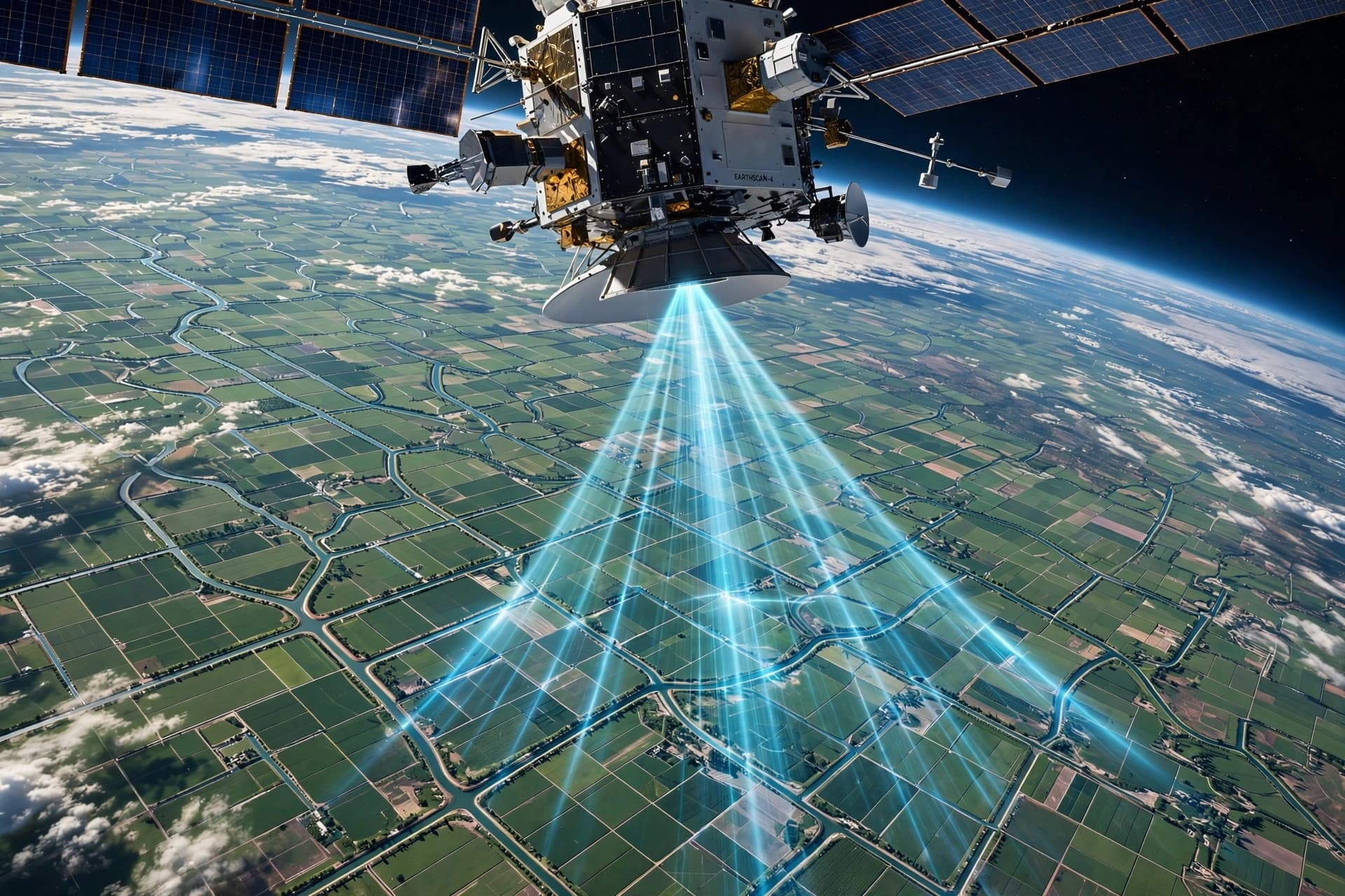
A new study from the University of Washington suggests that the tools for seeing these hidden waterways may already be in orbit. Researchers analyzed data from a NASA satellite designed to track the water levels of oceans and large lakes, a mission never intended for the narrow, human-made channels of irrigation systems. When they overlaid its radar observations onto roughly 800,000 kilometers of canals across Asia, they found something unexpected: the satellite could measure water levels with moderate to high confidence at more than 85 percent of locations.
The satellite at the center of this discovery is the Surface Water and Ocean Topography mission, known as SWOT, a joint effort between NASA and international partners that has been circling the Earth since December 2022. It uses interferometric radar to detect subtle changes in water surface elevation, comparing multiple scans over time. Oceans and large lakes are straightforward targets for such an instrument. Irrigation canals, often narrower than 20 meters, sit at the extreme low end of its observational reach.
What made the discovery possible was a complementary dataset called the Global Registry of Agricultural Irrigation Networks, or GRAIN. Published in 2025, GRAIN used open-source mapping data and machine learning to chart 3.8 million kilometers of canal networks worldwide. Lead author Mridul Sharma, a graduate research assistant at the University of Washington, overlaid SWOT's radar data onto this canal map to see whether meaningful elevation changes could be detected where the mapped canals ran.
The results surprised even the research team. Of the kilometers studied across 22 Asian countries, 37.5 percent were designated as highly observable, 46.9 percent as moderately observable, and only 15.6 percent as poorly observable. The highest-confidence areas corresponded to well-organized, wider canals with smooth slopes and open surroundings. Dense vegetation around canals proved the satellite's biggest obstacle, as foliage scatters and absorbs radar energy.
The team validated their approach by comparing satellite data against real canal measurements in the United States, finding that their confidence levels matched the system's actual abilities. This cross-continental check matters because it suggests the confidence scores are reliable indicators of where SWOT's canal observations can be trusted.
For the farmers and water managers who depend on these canals, the implications are significant. In regions like the Indo-Gangetic Plain and California's Central Valley, where irrigation sustains crops through dry seasons, the ability to monitor water delivery across entire growing seasons could transform how decisions are made. A farmer preparing to plant rice might see through SWOT that insufficient water will arrive to support the crop, allowing a timely switch to something more suited to the conditions.
The study, published in Geophysical Research Letters, represents what co-author Faisal Hossain calls not simply a new satellite capability but perhaps a fundamentally new way of managing the water conveyance systems that sustain modern agriculture. The next step for researchers is to build practical tools that leverage this data, with systems already under development for South Asia and the western United States.
AI Image Disclaimer: The illustrative images accompanying this article were generated by artificial intelligence and are intended for conceptual representation only.
Sources: University of Washington, EurekAlert, Geophysical Research Letters, Scienmag, NASA Harvest, ESS Open Archive
Published by Banx Network. This article is part of the Banx decentralized media programme, powered by the BXE token on the XRP Ledger.