
Key Highlights
- Discovery:Researchers identified three previously unregistered Aboriginal rock shelters in the Blue Mountains.
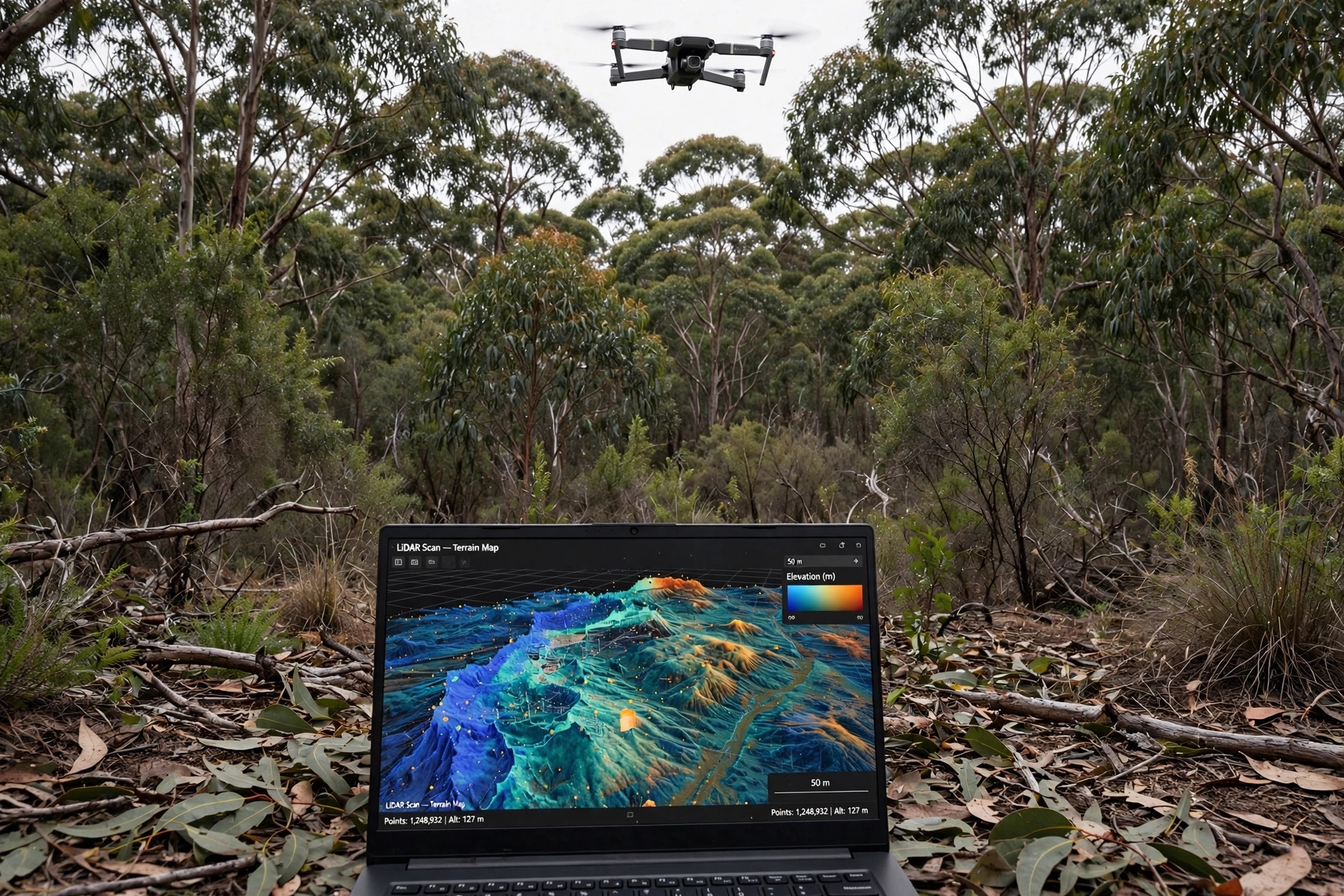
- Technology:Drone-mounted LiDAR technology was used to map the terrain and locate cultural sites.
- Collaboration:The project emphasizes the partnership between scientists and Indigenous communities.
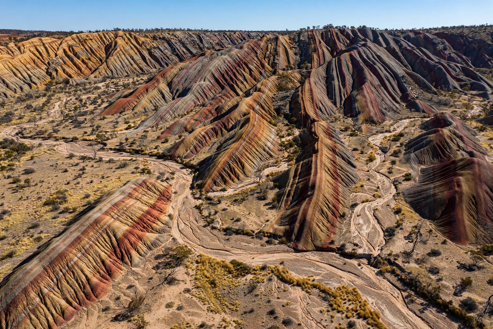
The Blue Mountains west of Sydney are a rugged landscape characterized by steep ridges, dense bushland, and shadowy gullies. For thousands of years, Aboriginal people have traversed this terrain, leaving behind traces of their existence, including red hand stencils on rock surfaces and stone tools. However, much of this archaeological record remains hidden, obscured by thick vegetation and the challenging geography that deters exploration. Recently, a groundbreaking technology has begun to illuminate these hidden histories.
Researchers from the University of Sydney and the Australian Museum, in collaboration with the Dharug Custodian Aboriginal Corporation, have employed drone-mounted LiDAR technology to uncover three previously unregistered Aboriginal rock shelters in the Blue Mountains. This innovative approach utilizes laser pulses to penetrate dense canopies and undergrowth, generating detailed three-dimensional maps of the ground below. Features that are typically invisible from above or difficult to access on foot become apparent through this advanced data collection method. The confirmed shelters contain red hand stencils and stone artifacts, which serve as material evidence of Aboriginal occupation.
The initiative, known as the Gulamada Project, embodies a philosophy of collaboration, encapsulated in the phrase “walking side by side.” Wayne Brennan, an Indigenous rock art expert at the University of Sydney and co-director of the project, emphasizes the importance of integrating scientific inquiry with cultural understanding. “From the outset, our vision for the Gulamada Project has been to create a true nexus of science and culture,” Brennan stated. The project’s methodology involves drone surveys to identify potential sites, followed by field teams led by Dr. Amy Mosig Way who verify these locations and document the rock art.
The advantages of using drones in this context are significant. Traditional archaeological surveys in the Blue Mountains are often slow and costly, with Dr. Way estimating that only about 10 percent of the region has been thoroughly surveyed. The challenging terrain—characterized by steep ridges and thick vegetation—makes it labor-intensive to explore every potential site. LiDAR technology does not eliminate the need for physical exploration but enhances it by directing researchers to the most promising locations. “This work is exciting because it offers an efficient and accurate way to locate sites in rugged environments, which are notoriously arduous, expensive, and time-consuming to survey,” said lead author Jacob Bongers.
Moreover, the drone surveys have led to corrections in existing records. For six previously registered shelters, the new surveys provided more accurate coordinates than those recorded in the New South Wales Aboriginal Heritage Information Management System, the official state register. This precision is crucial for heritage managers and communities dedicated to preserving these sites, ensuring that they can be located and cared for in the future. The project received funding through the Australian Government's First Nations Heritage Grants program, which supports initiatives led by First Nations people to identify and protect their heritage.
While the Gulamada Project demonstrates the potential of drones to uncover hidden shelters, it also highlights a broader methodology that combines remote sensing with ground verification and cultural knowledge. The researchers plan to apply this approach in other challenging environments, such as the tropical savannas of western Arnhem Land and the semi-arid regions of western New South Wales, where similar issues of under-recording exist.
For the Dharug people and other Aboriginal communities, the significance of these discoveries extends beyond archaeological data. The shelters represent places where ancestors have left their marks, embodying the continuity of culture inscribed in stone. The act of finding, recording, and understanding these sites is an expression of care and respect for their heritage. While drones serve as a valuable tool in this endeavor, the responsibility for protecting these cultural treasures ultimately lies with the Indigenous custodians of the land.
The images accompanying this article are AI-generated and do not depict the actual shelters or rock art.
Published by Banx Network. This article is part of the Banx decentralized media programme, powered by the BXE token on the XRP Ledger.