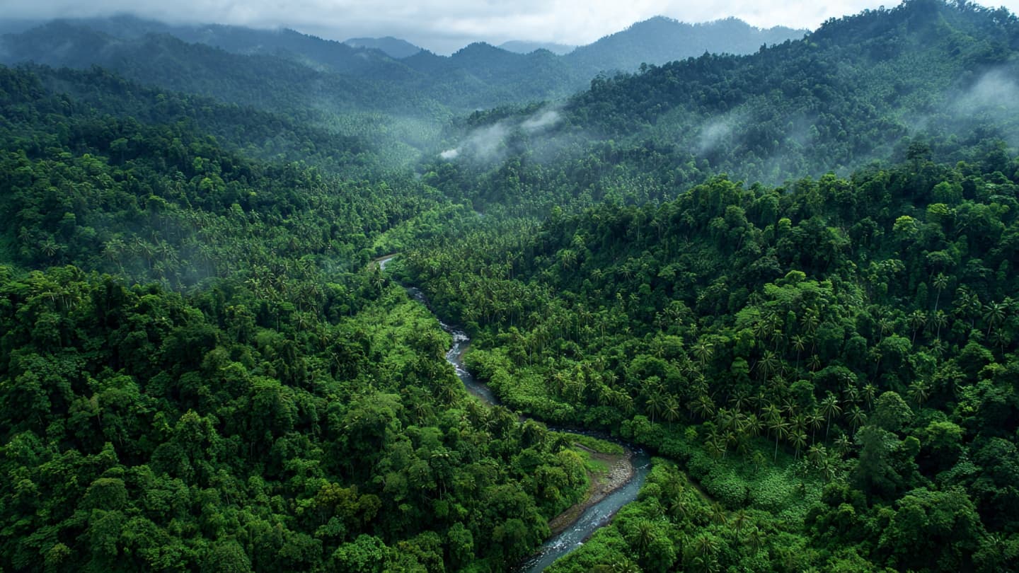
From the ground, a tropical forest can seem endless. Trees rise through layers of green, rivers disappear beneath the canopy and distant areas remain difficult to reach. From space, however, the same landscape becomes a changing pattern of information. Indonesia is increasingly using that view to understand its forests.
Satellite imagery and remote sensing have become important tools for monitoring land cover and environmental conditions across the archipelago. Their value is particularly clear in a country where forests stretch across enormous and sometimes difficult-to-access areas.
Traditional field research remains essential. Scientists still need to walk through forests, examine vegetation and observe wildlife directly. But satellite data can provide a broader perspective, allowing researchers to compare large areas and monitor changes over time.
Technology can help identify changes in forest cover, fires, land-use patterns and other environmental conditions. Repeated satellite observations make it possible to observe how landscapes change across seasons and years rather than relying only on occasional field visits.
Indonesia's position along the equator also gives its forests global significance. Tropical ecosystems contain enormous biological diversity and play important roles in carbon storage, water cycles and local livelihoods.
Artificial intelligence is increasingly being added to the remote-sensing process. Machine-learning systems can examine large collections of satellite images and identify patterns that may be difficult to detect manually. The technology can help researchers process information faster, although field verification remains important.
For scientists, the combination of satellite imagery, geographic information systems and field observations creates a layered understanding of the environment. A forest can be studied from above, mapped digitally and then examined more closely on the ground.
The approach also supports disaster response. Fires, floods and other environmental events can spread across large areas quickly. Satellite systems can provide information about affected regions, helping authorities and researchers understand the scale and movement of an event.
Yet interpreting satellite data requires care. Clouds can obscure tropical landscapes, while differences between sensors and observation periods can complicate comparisons. Technology provides information, but scientists still need to understand what that information represents.
Indonesia's expanding use of remote sensing therefore illustrates a broader transformation in environmental science. The forest remains physical, complex and deeply rooted in place, but researchers now have new ways to observe its changes from thousands of kilometers above the ground.
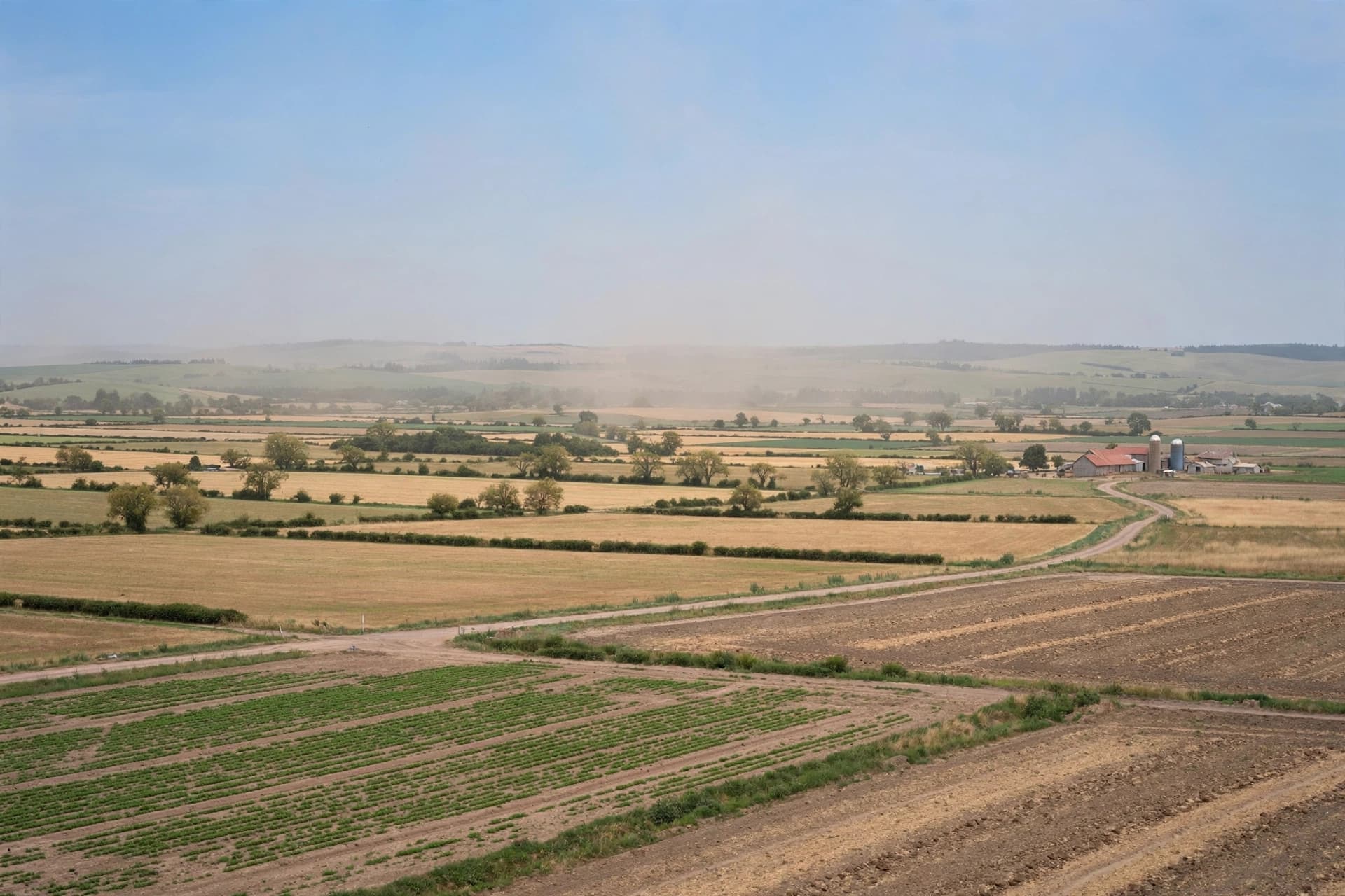
AI Image Disclaimer The accompanying visuals were created with artificial intelligence as conceptual environmental illustrations and are not actual satellite photographs or field images.
Sources ANTARA News BRIN Ministry of Environment and Forestry of Indonesia NASA European Space Agency
Published by Banx Network. This article is part of the Banx decentralized media programme, powered by the BXE token on the XRP Ledger.