
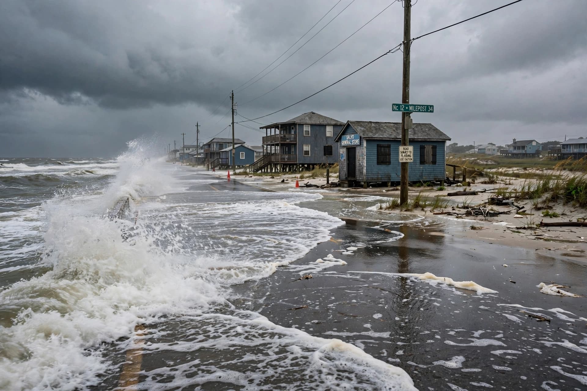
There is a particular patience required of those who live along the coast—a familiarity with the rhythm of tides and the knowledge that the ocean, when it decides to linger, can reshape the land in ways both gradual and sudden. This week, the Atlantic is sending such a visitor: a slow-moving coastal storm that forecasters expect to settle off the Mid-Atlantic for days, bringing wind and water to shores that have already felt the season's earlier blows.
A nor'easter is forecast to develop off the coast of the Carolinas this weekend and linger well into next week, bringing strong winds, coastal flooding, and beach erosion from North Carolina up through the Delmarva Peninsula and into New Jersey . The storm is not expected to match the intensity of the late-September nor'easter that battered the region, but its duration—potentially several days—may make it more impactful for areas along the Outer Banks and southeastern Virginia .
The wind will be the most widespread and long-lasting threat. Gusts of 40 to 60 miles per hour are expected from far southern New Jersey to near Cape Lookout, North Carolina, with the highest gusts closest to the storm's center . Forecasters at the National Hurricane Center are monitoring the system for potential tropical or subtropical development, though the chance remains low; regardless of whether it earns a name, the impacts would remain effectively the same .
Coastal flooding is the other prolonged concern. Tides of 2 to 3 feet above normal are expected, with local peaks of 4 to 6 feet from southeastern Virginia to northeastern North Carolina where water piles up in the back bays . Because the storm is slow-moving, there will be multiple high-tide cycles during which flooding is most significant, compounding the impacts over time . Some roads along the coast, as well as low-lying streets in beach communities, will be inundated, especially at high tide .
For the Outer Banks, the memory of recent storms is fresh. Route 12 may once again become impassable due to overwash, and significant damage is possible . The region has seen homes crumble into the sea in recent years, and days of relentless wave action could worsen ongoing erosion . Offshore seas are expected to average 15 to 25 feet by early next week, disrupting marine traffic from Delaware Bay to the lower Chesapeake and the Carolina coast .
The storm's slow drift is what makes it unusual. Most coastal systems move through, leaving their mark and departing. This one is expected to hover near the warm waters of the Gulf Stream, feeding on the ocean's heat even as it retains its frontal characteristics . The longer it stays, the more tide cycles it affects, the more sand it moves, the more water it pushes into places where water does not belong.
Forecasters have urged residents to obey rip current warnings and to stay out of the surf zone if breaking waves look impressive . For those in the most exposed areas, the advice is familiar: monitor forecasts, prepare for possible road closures, and accept that the ocean, for now, has decided to stay awhile.
The storm will eventually move away. The tides will recede. The sand will be redistributed, as it always is. But for the communities along the Mid-Atlantic coast, the coming days will be a test of patience and preparation, conducted in the company of wind and water that have come to visit and are in no hurry to leave.
AI Image Disclaimer: The images accompanying this article were generated by artificial intelligence and are intended for illustrative purposes only.
Sources: AccuWeather, The Weather Channel, CNN, FOX Weather
Published by Banx Network. This article is part of the Banx decentralized media programme, powered by the BXE token on the XRP Ledger.