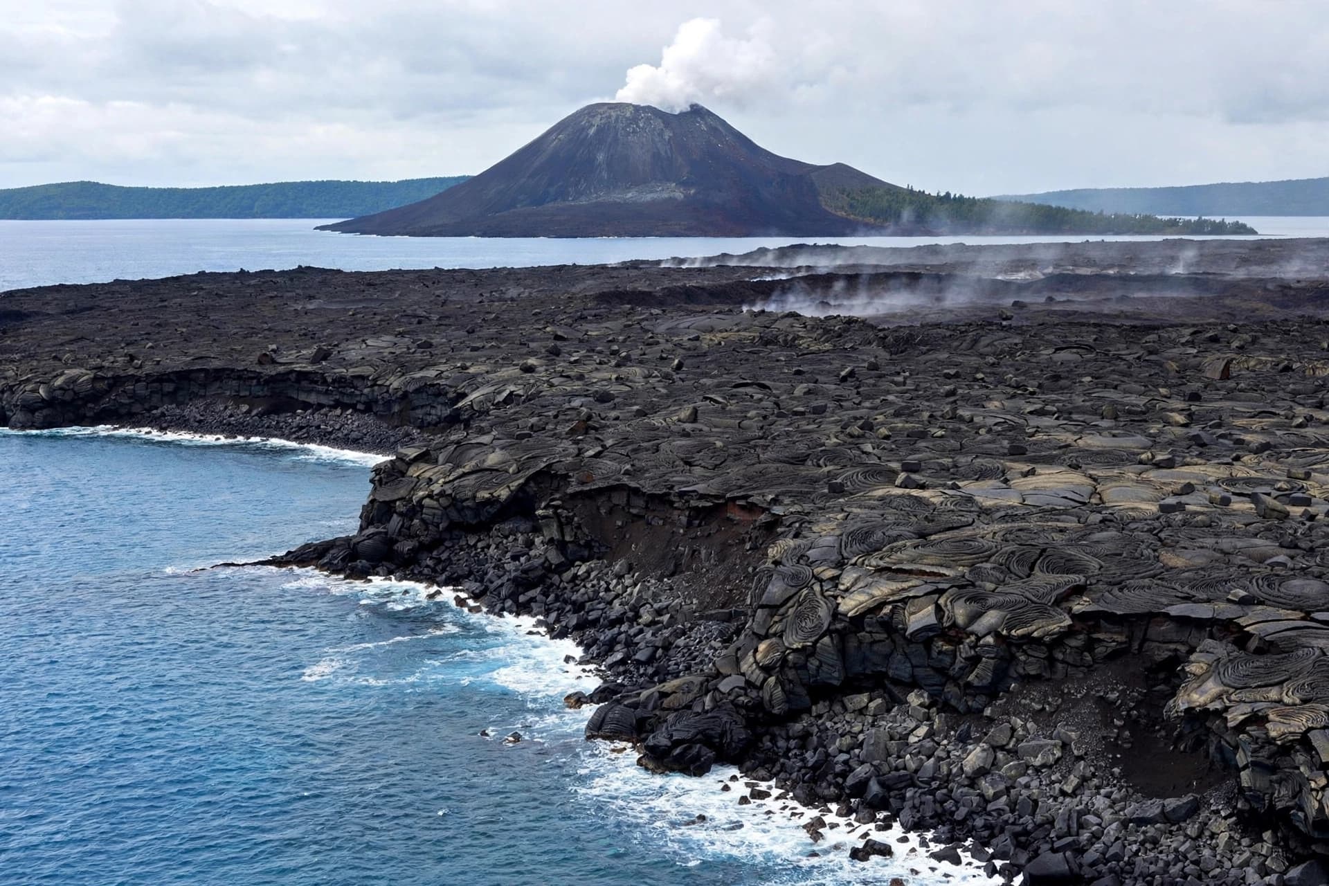
The changes followed an eruption that lasted about 25 hours from September 4 to September 6. During that period, lava moved toward the northwest, west and southwest, gradually reshaping portions of the island’s surface.
Satellite imagery provided another glimpse of the transformation. Images collected on September 23 showed two new land formations near Anak Krakatau, one roughly 760 meters northwest of the coastline and another approximately 495 meters southeast of it.
The formations are located on opposite sides of the volcano's crater, and scientists have suggested that they may be connected to the recent eruptions. But the Geology Agency has also emphasized that more recent observations and further analysis are needed before determining exactly how the formations developed.
The story of Anak Krakatau has always been one of movement. The island itself emerged from the remains of the much larger Krakatau volcano, whose catastrophic 1883 eruption reshaped the surrounding region and generated tsunamis that killed more than 36,000 people.
More than a century later, the younger volcano continues to demonstrate that volcanic landscapes are not fixed. Lava can become land, coastlines can shift and formations visible from satellite images can appear within a matter of weeks.
The latest activity also had effects beyond the volcano itself. Ash from the eruptions reached areas around Jakarta and contributed to airport disruptions, with thousands of flights affected according to the Reuters report. More than 340,000 travelers were reportedly affected by cancellations, delays and diversions.
Indonesia sits along the Pacific Ring of Fire, where tectonic plates create an environment of frequent earthquakes and volcanic activity. Anak Krakatau is among roughly 130 active volcanoes across the country, making continual geological monitoring an important part of understanding changes in the landscape.
For scientists, the emergence of new land is both a geological record and a reminder of how quickly nature can redraw a familiar horizon. What appears from a distance to be a stable island can, under the pressure of heat and magma, become a changing structure.
The latest measurements do not simply describe an eruption. They record the creation of new terrain in real time. At Anak Krakatau, the boundary between sea and land continues to move, shaped by processes that began long before modern maps existed.
AI Image Disclaimer
AI-generated visual representation for editorial purposes only. The illustration is not an actual photograph of the latest Anak Krakatau formations.
Sources
Reuters Indonesia Geological Agency PVMBG Sentinel Satellite Imagery
Published by Banx Network. This article is part of the Banx decentralized media programme, powered by the BXE token on the XRP Ledger.