There is a particular cruelty in rain that falls on ground already saturated, in water that has nowhere to go but across roads and through towns that have barely begun to dry. This week, the remnants of Hurricane Polo—a storm that struck Mexico's Baja California Sur with 110 mph winds before weakening over land—moved northeast into a region already battered by an unusually wet September. The result has been a multi-day flood event stretching from Arizona to the Great Lakes, with emergency rescues, evacuations, and the quiet fear of what comes next.
Polo made landfall Monday as a high-end Category 2 hurricane, then crossed the Gulf of California and weakened to a tropical storm as it moved inland. But its moisture did not dissipate. Instead, it merged with a separate storm system swinging in from the west, creating what meteorologists have called a "hybrid storm" that is expected to bring days of rainfall and one of the earliest snowfalls of the season to the Colorado Rockies. The National Weather Service warned of "a multi-day heavy rainfall event" extending into the Midwest and southern Plains.
The flooding has already been severe. In New Mexico, the potential failure of a dam in the south-central part of the state prompted evacuations in three small communities along the Rio Grande—Rincon, Salem, and Garfield—with residents told to seek higher ground "before conditions worsen". Later, evacuations were ordered in nearby Hatch, known for its green chile crops, and farther north in Placitas. In Arizona, a person stranded on top of an overturned vehicle west of Phoenix was rescued by helicopter. In Utah's Zion National Park, a helicopter lifted three people from Heaps Canyon after flash flooding.
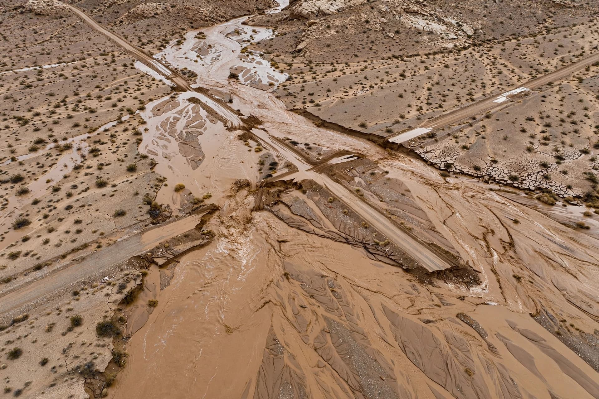
The Southwest is particularly vulnerable to this kind of event. The rocky desert terrain typically receives less than 10 inches of rain annually, with little vegetation to absorb runoff. "Runoff is likely going to start much quicker and lead to those flooding impacts quicker," said meteorologist Carter Greulich of the National Weather Service in Albuquerque. AccuWeather chief meteorologist Jon Porter described the situation in New Mexico as potentially "the most dangerous flash flooding risk in the last 5 years or more".
The storm's reach extends far beyond the Southwest. Rainfall forecasts call for 3 to 5 inches across parts of Texas and Oklahoma, including Dallas, Austin, and San Antonio—the heaviest event in the Dallas-Fort Worth area since early July. A stripe of 3 to 5 inches or more is expected from Kansas through southern Nebraska, northern Missouri, southern Iowa, and northern Illinois. Nearly a dozen states are under flood watches, with the threat extending as far north as Minnesota.
In the higher elevations of Colorado, the storm will bring snow—up to 8 inches in the Sangre de Cristo Mountains and some areas west of Denver, with snow levels above 11,000 feet. For a region still recovering from a sodden September, the coming days will require patience, caution, and the hope that the water finds its way without taking too much with it.
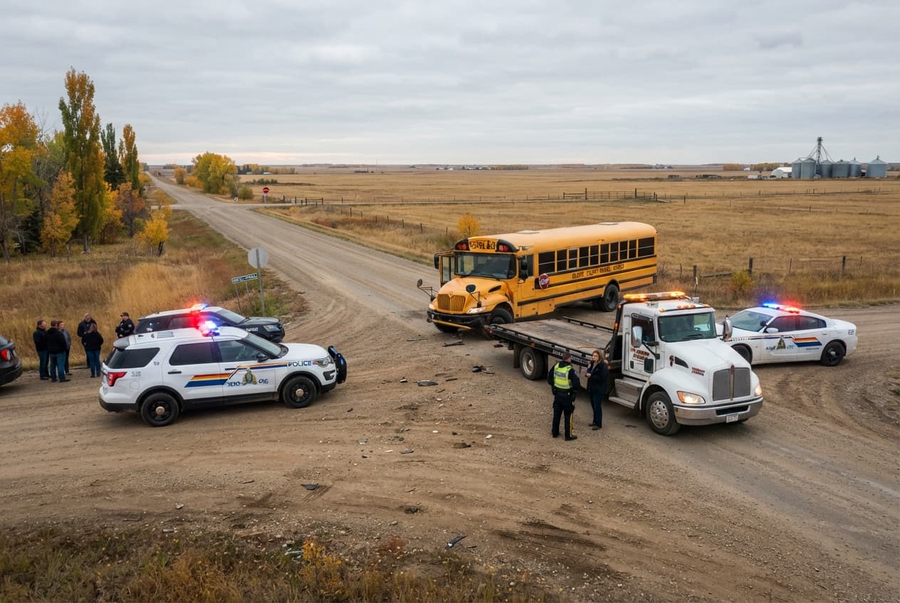
AI Image Disclaimer: The accompanying images in this report were created with artificial intelligence and are intended for conceptual representation only.
Sources: Associated Press, The Weather Channel, WION, WUFT, Eagle-Tribune
Published by Banx Network. This article is part of the Banx decentralized media programme, powered by the BXE token on the XRP Ledger.