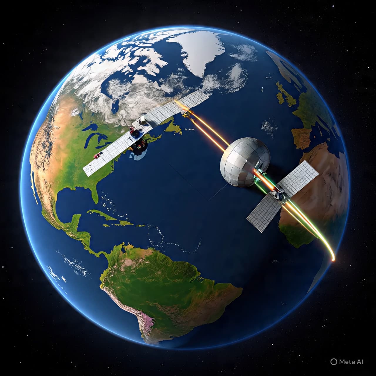
High above the clouds, thousands of silent travelers trace invisible highways around the planet.
They move swiftly — some mapping forests, some tracking storms, others measuring the slow pulse of climate change. Earth-observation satellites have become the quiet sentinels of the modern age, circling in tight formations through increasingly crowded orbits. Yet as the lanes above grow busier, so too does the risk of accidental encounters.
Now, researchers and space agencies say a new tool could help reduce that risk.
Developed to improve space traffic coordination, the system is designed to provide more accurate and timely predictions of potential satellite collisions. By refining how orbital data is shared, processed, and interpreted, the tool aims to give operators clearer warnings — and more time to respond — when two spacecraft appear on converging paths.
Low Earth orbit has become particularly congested. Commercial constellations, government missions, and research satellites share altitudes often just a few hundred miles above Earth’s surface. Even small fragments of debris, traveling at speeds exceeding 17,000 miles per hour, can pose serious threats. A collision between active satellites would not only damage critical infrastructure but could generate further debris, compounding the hazard.
Traditionally, satellite operators rely on tracking data provided by national space agencies and defense networks. Alerts are issued when two objects come within a certain probability threshold of collision. Yet these warnings can sometimes be frequent, imprecise, or based on limited data resolution. Operators must weigh the cost of maneuvering — which consumes fuel and shortens mission life — against the uncertain risk of impact.
The new tool seeks to refine that calculation.
By integrating higher-fidelity tracking inputs and advanced modeling techniques, developers say it can narrow uncertainty windows and reduce false alarms. Some systems incorporate artificial intelligence to analyze patterns in orbital movement, improving predictions over time. Others emphasize streamlined data-sharing platforms, allowing satellite operators to coordinate directly and more efficiently.
The aim is not dramatic intervention, but quieter precision.
In recent years, the number of collision avoidance maneuvers has increased significantly as satellite fleets expand. Agencies in the United States and Europe have acknowledged the growing strain on monitoring systems. Improved forecasting tools could reduce unnecessary maneuvers while ensuring that genuine threats are addressed swiftly.
There is also a diplomatic dimension. As more nations and private companies enter orbit, space traffic management becomes a shared responsibility. Transparent data exchange and standardized protocols are increasingly viewed as essential to sustaining safe operations. A tool that enhances clarity may also strengthen cooperation.
For Earth-observation missions in particular, reliability is paramount. These satellites inform weather forecasting, disaster response, agriculture planning, and climate research. Their vantage point provides a steady stream of information about a changing planet. Protecting that vantage point requires not only engineering ingenuity, but also careful stewardship of the orbital environment.
The challenge of space debris has long been described as cumulative — a problem that grows gradually until it demands attention. Innovations in tracking and predictive modeling represent incremental but meaningful steps toward mitigation.
No system can eliminate risk entirely. Orbit remains a dynamic and sometimes unpredictable arena. But by sharpening awareness and improving communication, this new tool offers something modest yet significant: a clearer map of the sky’s invisible intersections.
And in a realm where a few meters can mean the difference between routine passage and irreversible damage, clarity may be the most valuable safeguard of all.
AI Image Disclaimer Illustrations were produced with AI and serve as conceptual depictions.
Sources Reuters BBC News SpaceNews Space.com The Guardian
Published by Banx Network. This article is part of the Banx decentralized media programme, powered by the BXE token on the XRP Ledger.