There are mornings when the landscape seems to awaken gently, wrapped in pale sunlight and drifting mist. Yet across parts of Europe this summer, dawn has carried a different companion. Thin ribbons of smoke have risen before the day itself, stretching across valleys, vineyards, forests, and distant coastlines, quietly changing familiar horizons into uncertain silhouettes. From above, satellite maps reveal not only the movement of fire but also the shifting rhythm of communities adapting to a season that has become increasingly difficult to predict.
The largest concentrations of wildfires have emerged across southwestern France and wide areas of Spain, where prolonged heat, dry vegetation, and persistent winds have created conditions that allow flames to travel with startling speed. Near Bordeaux, vast stretches of forest have burned, while several regions across Spain have faced similarly destructive fires. Together, the two countries have seen hundreds of thousands of residents and visitors leave their homes or holiday destinations as emergency services worked to protect lives and property.
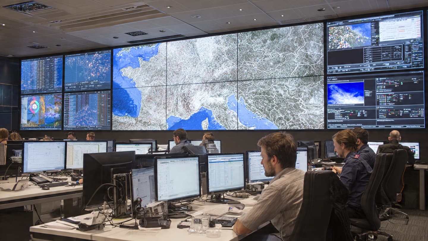
Maps produced through Europe's Copernicus Emergency Management Service and the European Forest Fire Information System have become essential companions during this crisis. Updated frequently, they transform satellite imagery into detailed assessments of burned land, fire intensity, weather conditions, and potential paths of expansion. What appears as colored patterns on a screen represents forests, farms, villages, and ecosystems whose stories continue to unfold beneath drifting smoke.
The response has extended well beyond national borders. Through the European Union Civil Protection Mechanism, firefighting aircraft, helicopters, specialized ground crews, and emergency coordinators have crossed frontiers to reinforce exhausted local teams. Firefighters from multiple countries now work together, supported by aerial fleets capable of dropping water and fire retardant over rapidly changing terrain. Cooperation itself has become one of the continent's strongest defenses against disasters that ignore political boundaries.
Technology has become another quiet partner in the effort. Satellites monitor hotspots throughout the day, while weather models estimate how shifting winds and temperature changes may influence each fire's direction. These forecasts help authorities decide where aircraft should fly, which communities may require evacuation, and where firefighters can safely establish containment lines before flames advance.
On the ground, however, the work remains deeply human. Firefighters spend long hours carving protective barriers into dry forests, directing evacuation routes, and defending homes standing at the edge of advancing flames. Volunteers distribute supplies, emergency shelters welcome displaced families, and local residents wait for news carried not by headlines alone, but by changing winds and the distant sound of aircraft overhead. Each act of coordination reflects a shared determination to preserve both lives and landscapes.
Scientists have long observed that hotter summers, prolonged droughts, and increasingly extreme weather create conditions that allow fires to spread more easily. While individual wildfires arise from different immediate causes, the broader pattern has encouraged European institutions to strengthen long-term wildfire preparedness through improved land management, coordinated emergency planning, and expanded cross-border cooperation.
Even amid destruction, recovery begins quietly. Burned forests eventually welcome new growth, communities rebuild, and emergency planners study each season's lessons to prepare for those still to come. Maps that once highlighted danger gradually become records of resilience, documenting not only where fire traveled but also where people stood together against it.
As firefighters continue their work across France, Spain, and neighboring regions, authorities remain alert for renewed heat and shifting weather that could reignite existing fires or spark new ones. The season is far from over, but Europe's response continues through shared resources, scientific monitoring, and cooperation that reaches beyond national borders.
AI Image Disclaimer Illustrations were created using AI tools and are intended as conceptual visual representations.
Sources
Reuters Associated Press European Commission – Civil Protection and Humanitarian Aid (ECHO) European Commission Joint Research Centre (EFFIS/Copernicus) Council of the European Union
Published by Banx Network. This article is part of the Banx decentralized media programme, powered by the BXE token on the XRP Ledger.