
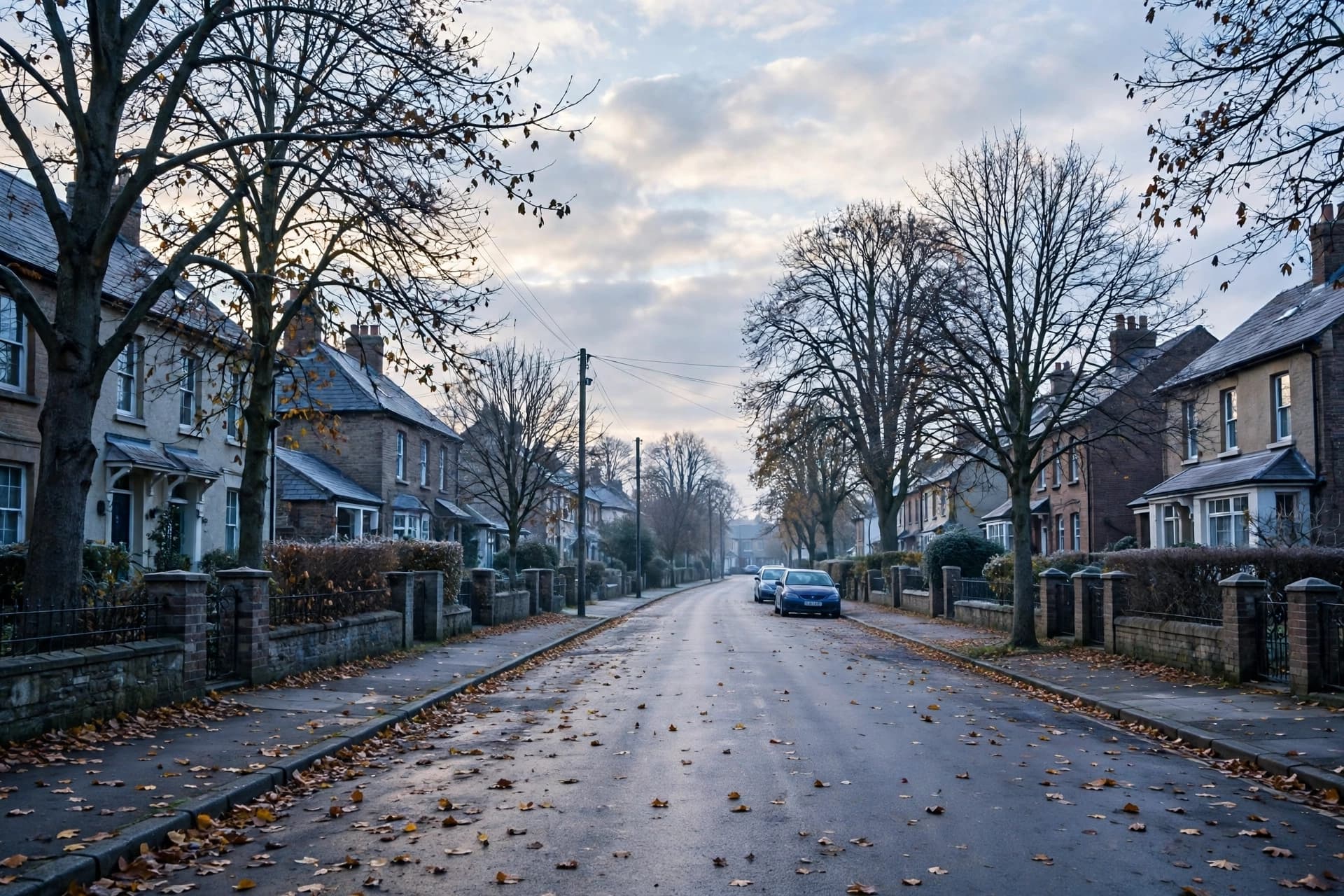
There is a rhythm to the turning of October, a push and pull between the warmth that lingers and the cold that is waiting. For a few days, the cooler air takes its turn, arriving from the north with a briskness that reminds us the season is not static. Then, just as suddenly, the warmth returns, a brief reprieve before the next front moves through.
The workweek begins with that cooler, drier airmass settling over the region. Monday will be noticeably cooler, with morning clouds giving way to partly cloudy skies by afternoon. North to north-northwest winds will be breezy, sustained near 15 kilometers per hour with gusts up to 20, and daytime highs will reach only about 9 degrees Celsius. Overnight, temperatures will fall to near minus 1, with localized fog or mist possible in sheltered areas .
Tuesday offers little change. Winds will shift gradually from northeast to east and eventually southeast through the day, but the cool conditions persist. Highs will reach near 8 degrees Celsius, and overnight lows will drop to near 4 as cloud cover increases and southerly warmth begins to filter in . It is the kind of day that asks for a jacket in the morning and perhaps forgiveness by afternoon, when the sun briefly asserts itself.
Then comes Wednesday, and with it a notable shift. Southerly winds will strengthen, and warm air will arrive ahead of a system approaching from the west. Temperatures will climb to a high near 17 degrees Celsius—well above normal for late October and approaching record territory. Skies will be partly to mostly cloudy, but the warmth will be unmistakable . It is a brief gift, the kind of day that invites people outdoors and makes them forget, for a few hours, that November is waiting.
That warmth will not last. A cold front associated with the approaching system will bring widespread chances of light rain and embedded showers by Thursday. The wet weather should end early, with afternoon sun returning and daytime highs in the mid-teens. Friday remains dry with similar temperatures as the region heads into the weekend .
There is something fitting about this pattern, a cool spell followed by warmth followed by rain. It mirrors the larger transition of the season, the slow negotiation between what has been and what is coming. The cooler nights and warmer afternoons are not contradictions but a kind of conversation, the atmosphere finding its way toward winter one front at a time.
For those planning their week, the advice is simple: keep a jacket nearby for the first two days, enjoy the warmth on Wednesday, and have an umbrella ready for Thursday. The weather will do what it does, and the best response is a quiet adaptability, a willingness to meet each day as it arrives.
Image note: The visual accompanying this article is an AI-generated illustration and does not represent actual meteorological data.
Sources: SooToday.com
Published by Banx Network. This article is part of the Banx decentralized media programme, powered by the BXE token on the XRP Ledger.