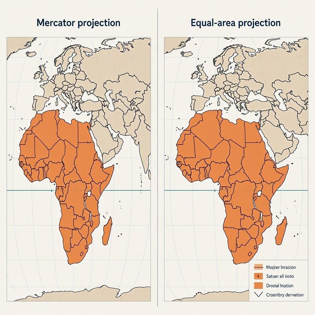
Maps are more than just tools for navigation; they are narratives of power, perspective, and perception. For centuries, the standard Mercator projection has shaped our understanding of the world, often distorting the size of continents near the poles while shrinking those near the equator. Recently, the United Nations voted to adopt a new mapping standard that aims to correct this historical imbalance, particularly regarding the true size of Africa. This decision is not merely technical but symbolic, inviting a reflective look at how we visualize our planet and the biases embedded in our most common geographical representations.
The Mercator projection, developed in the 16th century, was designed for nautical navigation, preserving angles and directions at the expense of area accuracy. As a result, Greenland appears roughly the same size as Africa, despite Africa being fourteen times larger. This distortion has had subtle but profound effects on global consciousness, often minimizing the visual prominence of the Global South. The new initiative seeks to replace this with a more equitable representation, such as the AuthaGraph or other equal-area projections, which preserve the relative sizes of landmasses.
The vote at the UN reflects a growing awareness of the cultural and political implications of cartography. By adopting a map that accurately depicts Africa’s vastness, the international community acknowledges the continent’s significance in terms of geography, resources, and population. It is a step toward decolonizing knowledge, challenging the Eurocentric views that have dominated educational materials and media for generations. This shift encourages a more balanced global perspective.
Educators and policymakers welcome the change, noting that accurate maps foster a better understanding of global issues. When people see the true scale of Africa, they may gain a deeper appreciation for its diversity and complexity. It helps contextualize challenges such as climate change, migration, and economic development within their proper geographical scope. Accuracy in representation leads to accuracy in understanding.
However, changing deeply ingrained mental maps takes time. The Mercator projection is ubiquitous, appearing in classrooms, news broadcasts, and digital apps worldwide. Transitioning to a new standard requires effort in updating materials and retraining public perception. There may be resistance from those accustomed to the familiar layout, highlighting the comfort we find in established norms, even when they are flawed.
The adoption of the new map also sparks discussions about other potential distortions. How do we represent the oceans? What about the polar regions? Cartographers continue to refine projections to balance various needs, such as shape, area, and distance. The UN’s decision is a milestone, but it is part of an ongoing evolution in how we chart our world. It encourages continuous inquiry and improvement in scientific communication.
For Africa, this recognition is a moment of pride and validation. It affirms the continent’s physical reality against centuries of visual minimization. As the new maps begin to appear in official documents and educational settings, they serve as a reminder that truth matters, even in the lines we draw. It is a small but significant step toward a more equitable global narrative.
The UN’s vote to adopt a new world map correcting Africa’s size highlights the importance of accurate geographical representation and its role in fostering a more balanced and equitable global perspective.
AI Image Disclaimer: The images referenced in this piece are AI-created visualizations meant to evoke the setting, not direct documentation of the scientific data.
Sources: United Nations News BBC News The Guardian National Geographic
Published by Banx Network. This article is part of the Banx decentralized media programme, powered by the BXE token on the XRP Ledger.