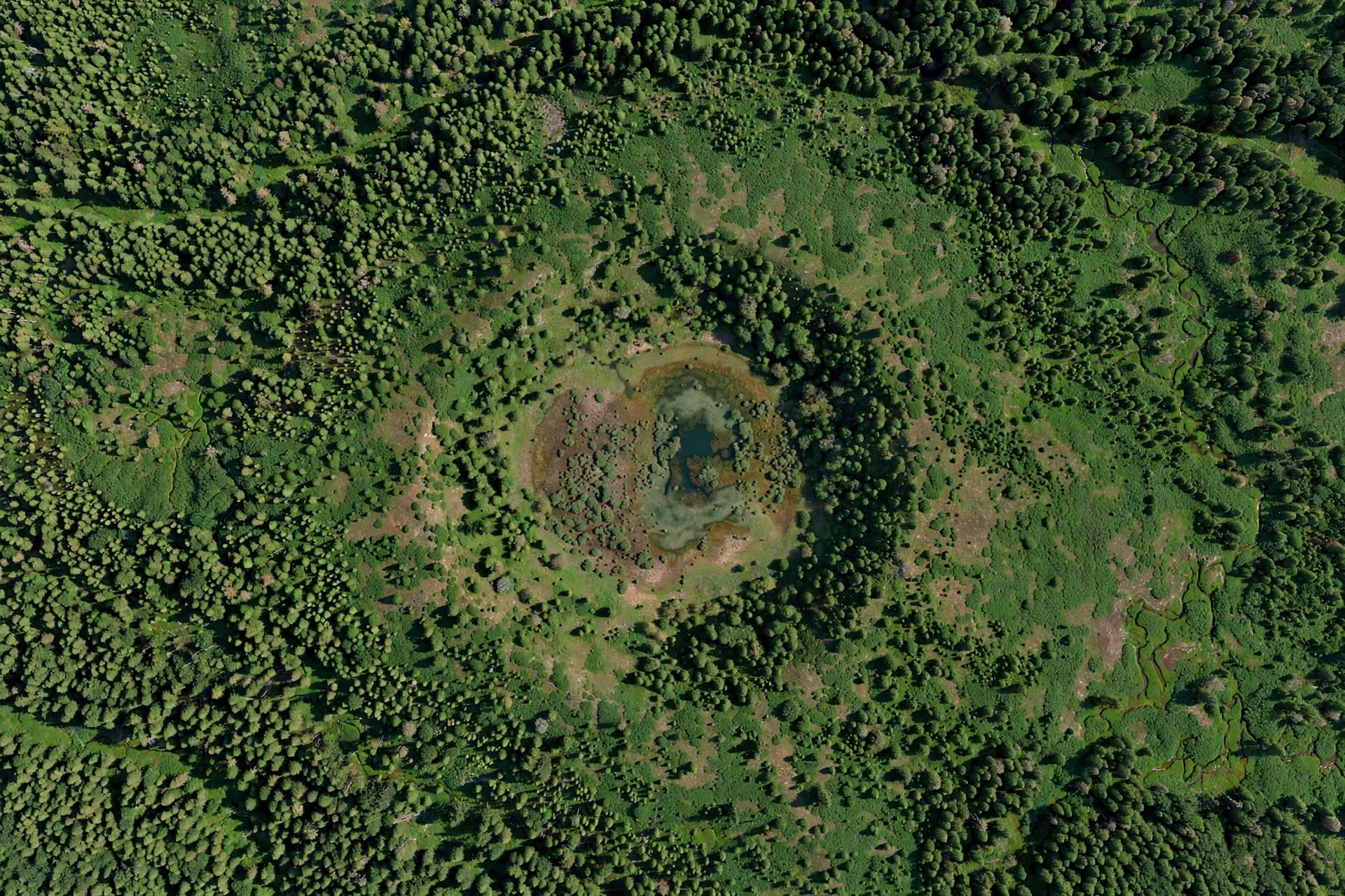
Sometimes, the most profound discoveries are hidden in plain sight, waiting for a curious eye to notice them. In the dense forests of Quebec, Canada, a subtle circular depression on Google Maps caught the attention of an amateur astronomer. What appeared to be a mere anomaly in the landscape was revealed to be a massive secret: a 390-million-year-old meteorite impact crater. This discovery, confirmed by scientists after a rigorous expedition, reminds us that our planet still holds mysteries, even in the age of high-resolution satellite imagery. Joël Lapointe, a Quebec resident, spotted the feature while planning a camping trip. The indentation, roughly 25 kilometers wide, was faint but distinct against the surrounding terrain. Intrigued, he shared his findings with researchers, who recognized the potential significance of the site. Initial satellite analysis suggested geological features consistent with an impact event, prompting a field investigation to gather concrete evidence.
The expedition to the site, named Uhackatik, was challenging due to its remote location and dense vegetation. Scientists collected rock samples and analyzed the geological structure, looking for signs of shock metamorphism—a hallmark of high-pressure impacts. Their efforts paid off when they identified minerals that had been altered by the intense heat and pressure of a meteorite strike hundreds of millions of years ago. This confirmation transformed a digital curiosity into a scientific fact.
The crater dates back to the Devonian period, a time when life on Earth was vastly different. The impact would have been a catastrophic event, reshaping the local landscape and potentially influencing global climate patterns. Today, erosion and forest growth have softened its edges, making it nearly invisible from the ground. Only from above, or through careful geological detective work, does its true nature emerge.
This discovery highlights the value of citizen science. Amateur observers, equipped with accessible technology like Google Earth, can contribute significantly to scientific knowledge. Lapointe’s keen observation bridged the gap between casual interest and professional research, demonstrating that expertise is not limited to academia. It is a testament to the power of curiosity and collaboration.
For geologists, the crater provides a new piece in the puzzle of Earth’s impact history. While many craters have been identified, each new find adds detail to our understanding of frequency and distribution. It also offers insights into the geological stability of the region, helping to refine models of crustal evolution. The more we know about past impacts, the better we can assess future risks.
The naming of the crater, Uhackatik, reflects respect for the indigenous heritage of the area. It acknowledges the long history of human connection to the land, predating scientific discovery by millennia. This cultural sensitivity enriches the scientific narrative, blending modern knowledge with traditional respect for the environment.
As technology improves, more hidden features may come to light. High-resolution imagery and AI-assisted analysis are making it easier to spot subtle anomalies. The story of Uhackatik encourages others to look closely at their surroundings, knowing that even familiar landscapes can hold extraordinary secrets.
The confirmation of the 390-million-year-old impact crater in Quebec is a triumph of observation and science. It underscores the importance of vigilance and collaboration in uncovering Earth’s hidden history. As we continue to map our planet, we remain open to the surprises that lie beneath the surface.
AI Image Disclaimer: The visuals in this article are AI-generated illustrations of satellite views and geological formations, not actual satellite images or photos from the expedition.
Sources: Smithsonian Magazine Live Science CBC News
Published by Banx Network. This article is part of the Banx decentralized media programme, powered by the BXE token on the XRP Ledger.