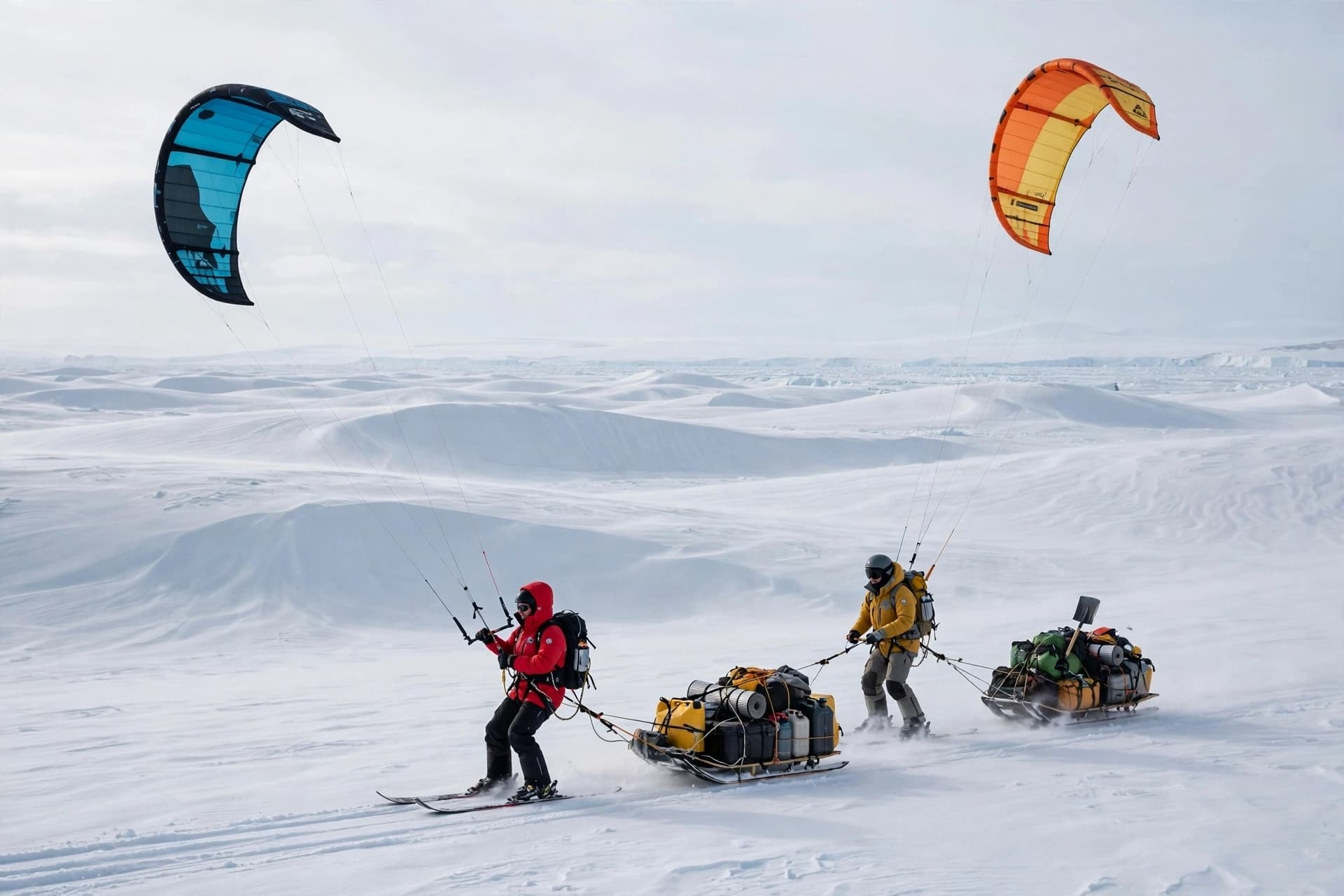
There is a particular audacity in traveling across Antarctica by kite, a method that relies on the wind rather than fuel and asks two people to tow two hundred kilograms of equipment over ice dunes and through temperatures that drop to minus fifty degrees Celsius. Yet that is exactly what glaciologist Heïdi Sevestre and polar explorer Matthieu Tordeur did, crossing the continent with ground-penetrating radar in tow, powered only by wind and solar energy. The result is the first radar transect of its kind, and a dataset from some of Antarctica's most remote regions.
The expedition, conducted under UNESCO's Decade of Action for Cryospheric Sciences, was motivated by a simple problem: polar science has traditionally relied on tractors and snowmobiles that burn enormous amounts of fuel, meaning research into climate change has itself carried an environmental cost. The approach has also left much of Antarctica unmapped, because collecting accurate radar data means contending with extreme cold, rough terrain, and a landscape that offers no easy way in .
The solution was kite-skiing. The team used kites of different sizes for different wind speeds, towing sleds carrying a ground-penetrating radar provided by IDS GeoRadar and a GNSS receiver from Leica Geosystems. The radar, normally used for utility detection, proved robust enough to survive the journey. "Almost everything broke during our journey but the radar," Sevestre said. "It remained reliable from start to finish, and that's what let us capture the data we came for" .
The data itself is what matters. Over roughly eighty days and four thousand kilometers of travel, the team collected more than fifteen hundred kilometers of linear radar data, revealing for the first time what had previously been invisible beneath the ice. They used a shallow radar to scan the upper forty meters of the ice sheet and a second radar to map deeper layers and bedrock, scanning up to two kilometers below the surface . The measurements were triggered by GPS rather than a wheel, with positioning from the GNSS receiver, and the team checked the radar every two hours for faults .
The challenges were constant. Temperatures were beyond anything a standard freezer reaches, and batteries had to be slept with to keep them warm. The wind was either too violent or, if it dropped, too calm to take off on skis, and the speed of travel mattered because moving too fast or too slow could compromise the quality of the radar measurements . The terrain was made up of meter-high ice dunes, difficult to ski over while towing a heavy sled. "It's a different planet, a different universe," Sevestre said .
What the expedition demonstrates is not only that the data can be collected, but that it can be collected differently. Polar science has long been carbon-intensive by necessity, and the kite-ski approach offers a model for reducing that footprint without compromising the quality of the measurements. The radar survived when almost everything else broke. The wind, which made the journey difficult, also made it possible.
For Sevestre, the experience carried a strange resonance. "It felt like being an astronaut," she said . The comparison is not as whimsical as it sounds. Antarctica is a place where humans are visitors in an environment that does not accommodate them, and where the instruments they carry are the difference between knowing and not knowing. The ice beneath the continent is still largely a mystery. This expedition mapped a fraction of it, and in doing so, showed that the mapping can be done with the wind at your back and the sun on your panels.
---
AI Image Disclaimer: The visuals in this article are generated by artificial intelligence and are intended for illustrative purposes only.
Sources: Geo Week News, IDS GeoRadar, UNESCO
Published by Banx Network. This article is part of the Banx decentralized media programme, powered by the BXE token on the XRP Ledger.