There is a peculiar kind of absence that follows a wave no one could see. It does not announce itself with crashing surf or a wall of water. It moves as a slow, planetary-scale slosh, a bulge of warm water inching eastward across an ocean so vast that its passage is measured in weeks and its departure leaves only a subtle settling, a few inches of sea level returning to something closer to normal. The Kelvin wave that raised sea levels along the Southern California coast has moved on, according to NOAA research oceanographer Andrew Leising, but it has left behind a warning: more are coming, and one of them may arrive at the worst possible moment .
Kelvin waves are not the waves of surfers or storm chasers. They are enormous, slow-moving pulses of warm water that form in the western equatorial Pacific when trade winds weaken, allowing warm water to surge eastward. They travel beneath the surface, taking two to three months to cross the ocean, before splitting at South America and moving north and south along the coast . When they arrive, they raise sea levels by a foot or more and push warmer water into places that are accustomed to cooler temperatures.
The wave that just passed was possibly the strongest of the season, Leising said. But it will not be the last. Up to four more are expected in the coming months, arriving in spurts every couple of weeks, each with its own strength and its own timing . The next is forecast to reach the southern tip of Baja in late October and make its way up the coast by late November. That timing is unfortunate. The king tides—seasonal high tides tied to gravitational pull—are expected November 24 and 25, with tides upward of seven feet. Add a foot or two of extra water from a Kelvin wave, and low-lying areas could see flooding .
Leising described the situation as a "triple threat": high tides, king tides, and Kelvin waves, combined with water that is already warm and expanded. The planets, he noted, are aligned in an 18-year cycle that makes this year's king tides even higher than usual . The result is a coastline that is being asked to absorb more water than it is accustomed to, at a time when the ocean is already stressed by El Niño conditions that have pushed sea surface temperatures above normal.
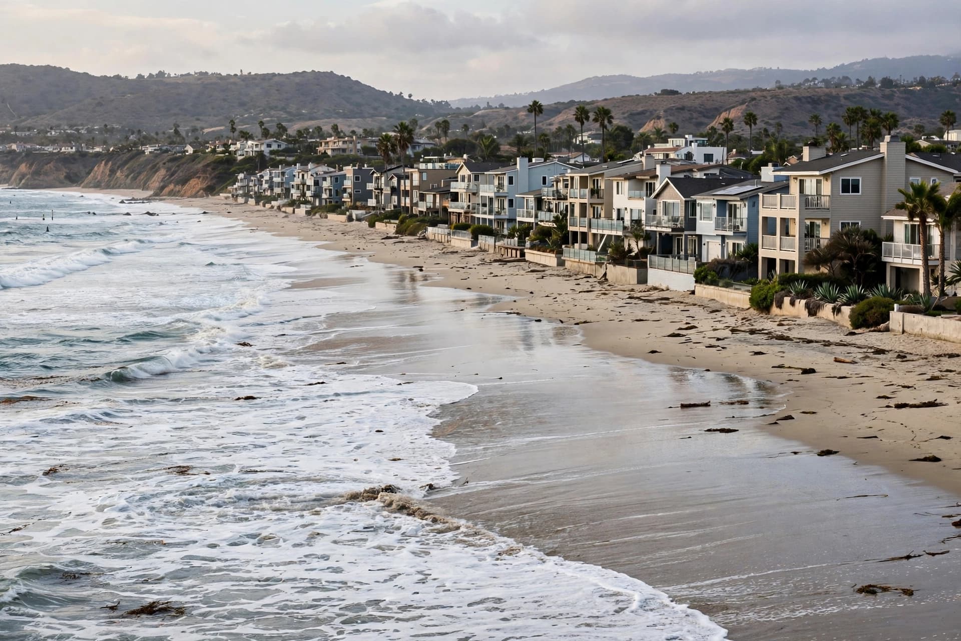
The consequences are not abstract. In early October, before the Kelvin wave had even fully arrived, Tropical Storm Rachel combined with elevated sea levels to flood streets and homes in Newport Beach, Long Beach, and Dana Point . The storm surge was almost certainly made more devastating by the water the Kelvin wave had already added, said Dillon Amaya, an assistant professor at North Carolina State University . The wave did not cause the flooding. It loaded the dice.
There is a quiet, unsettling quality to this kind of oceanographic phenomenon. It cannot be seen from shore. It cannot be felt on a boat. It is a planetary-scale movement of heat and water, measurable only by satellites and buoys, and yet its effects are felt in flooded streets and eroding beaches. The ocean is not static. It breathes, sloshes, and shifts, and the rhythms of that movement are becoming more pronounced as the climate warms.
The next Kelvin wave will arrive in late November, around the king tides. A third is on track for late December or early January. By then, the ocean may have cooled somewhat, Leising said, which could reduce the volume of water the waves carry . But the cooling will not erase the pattern. The waves will keep coming, and the coast will keep adjusting, one slow slosh at a time.
AI Image Disclaimer: The visuals accompanying this report are AI-generated and intended for illustrative purposes only.
Sources: Press Telegram, Georgia Public Broadcasting, WKU Public Radio, National Geographic
Published by Banx Network. This article is part of the Banx decentralized media programme, powered by the BXE token on the XRP Ledger.