There is a rhythm to the Pacific Ocean that has shaped human fortunes for as long as people have lived along its shores—a slow pulse of warming and cooling that rearranges rainfall, reshapes weather patterns, and determines whether crops flourish or fail. This year, that pulse has grown unusually strong. The El Niño event of 2026 is now forecast to be among the most intense ever recorded, and its timeline has become a matter of urgent interest to governments, farmers, and communities around the world .
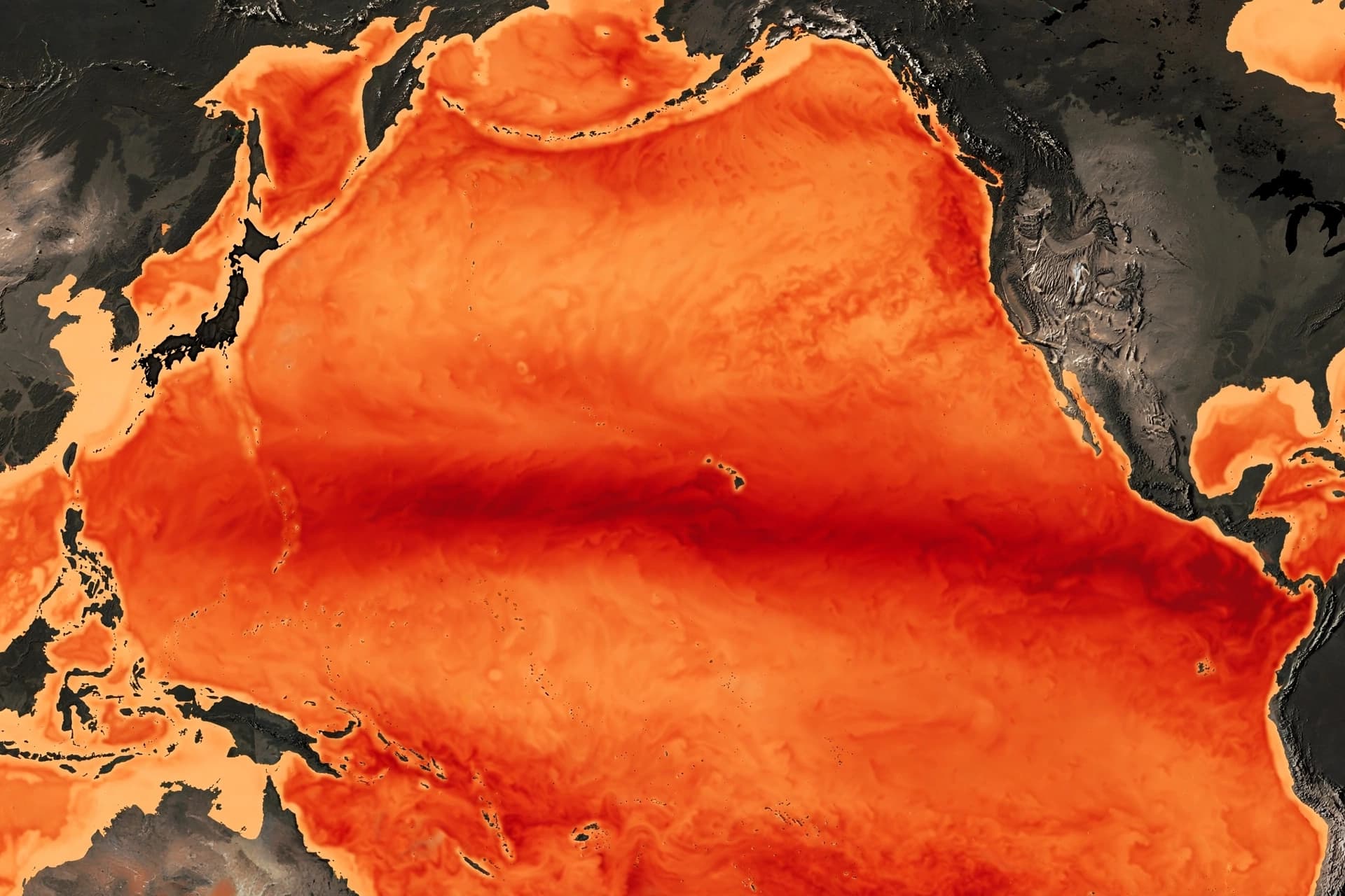
The current El Niño is firmly established and strengthening rapidly. According to the World Meteorological Organization, sea-surface temperatures in the central and eastern tropical Pacific are forecast to reach record levels during the October-November-December quarter . The Niño 3.4 index—the standard measure of El Niño strength—rose from +1.6°C above normal in June to +2.5°C in August, and the seasonal average is forecast to reach approximately +3.7°C, peaking around December . This would be the highest since observations began, surpassing the previous record of +2.6°C set in 2015-2016 .
The WMO has described the event as "potentially one of the strongest since at least 1950," with a near-100 percent likelihood that it will persist through February 2027 . The forecast from NOAA's Geophysical Fluid Dynamics Laboratory indicates that this El Niño is stronger than any observed in at least thirty years, with the 1997/98 extreme event in close second place . The current event is expected to weaken throughout the spring and return to ENSO-neutral conditions during the spring or early summer .
The timeline, then, is becoming clearer. El Niño will continue to intensify through December, when it is expected to peak . It will persist through February 2027, with a transition to neutral conditions expected in the spring or early summer . The event's impacts, however, may continue to intensify even as the ocean cools, particularly over parts of the United States .
The consequences of such an event are far-reaching. El Niño shifts rainfall patterns globally, increasing the risk of drought in some regions and flooding in others . It can bring above-average temperatures to much of the globe and alter the conditions that drive tropical cyclones, crop yields, and water availability . The current event is compounded by a positive Indian Ocean Dipole, a climate pattern that can strongly influence rainfall around the Indian Ocean and is expected to peak in October before declining .
For those who live in regions affected by El Niño—from the coasts of Peru to the farms of Australia, from the drought-prone landscapes of southern Africa to the flood-prone river valleys of South America—the timeline is not an abstraction. It is a guide for preparation, a window for adaptation. The ocean is warming, the atmosphere is responding, and the world is watching the Pacific, waiting to see what this exceptional year will bring.
AI Image Disclaimer: The imagery in this article is AI-generated and serves an illustrative purpose only.
Sources:
· World Meteorological Organization · NOAA Geophysical Fluid Dynamics Laboratory · Skymet Weather · MétéoMédia · ReliefWeb
Published by Banx Network. This article is part of the Banx decentralized media programme, powered by the BXE token on the XRP Ledger.