The Earth’s poles have long been viewed as distant, frozen sentinels, standing guard over the planet’s climate with an icy stillness. Yet, a new analysis of the longest continuous satellite record reveals that this stillness has been quietly eroding for decades. Since the 1970s, Greenland and Antarctica have lost a staggering 12.5 trillion tons of ice, a loss that has contributed significantly to rising sea levels and altered the delicate balance of our global environment. This data serves not just as a statistic, but as a profound narrative of change written in water and time.
The study, which synthesizes data from multiple satellite missions spanning nearly five decades, offers an unprecedented look at the rate of polar melt. Beginning in 1979, when satellite monitoring became more consistent, researchers have tracked the mass balance of the two largest ice sheets on Earth. The findings indicate that the loss is not linear but accelerating, with recent years showing a marked increase in the volume of ice disappearing into the ocean. This acceleration is driven by warming air temperatures and changing ocean currents that undermine the stability of coastal glaciers.
Greenland has borne the brunt of this loss, accounting for roughly three-quarters of the total ice melt. Its surface melting and the calving of massive icebergs into the North Atlantic have become increasingly common sights. Antarctica, while losing ice at a slower overall rate, has seen significant instability in its western regions, particularly in the Amundsen Sea sector. Here, warm ocean waters are melting ice shelves from below, causing glaciers to flow faster into the sea. The combined effect of these processes has raised global sea levels by approximately 1.2 inches (3 centimeters) since 1979.
For coastal communities around the world, this rise may seem small, but its impact is cumulative and far-reaching. Each centimeter of sea-level rise increases the risk of flooding during storms and exacerbates erosion along shorelines. Low-lying island nations and densely populated delta regions are particularly vulnerable, facing the threat of displacement and economic disruption. The 12.5 trillion tons of lost ice represent not just a physical change in the poles, but a growing challenge for human settlements everywhere.
The scientific community has long warned of these trends, but the clarity of the satellite record provides a compelling visual and numerical testament to the reality of climate change. The data removes much of the ambiguity, showing a clear correlation between rising global temperatures and polar ice loss. It underscores the urgency of reducing greenhouse gas emissions to slow the rate of warming and mitigate further losses. Without such action, the projections for future ice melt suggest even more dramatic changes in the coming decades.
Beyond sea-level rise, the loss of polar ice affects global weather patterns and ocean circulation. The influx of fresh water from melting ice can disrupt the salinity balance of the oceans, potentially slowing down major currents like the Atlantic Meridional Overturning Circulation. Such changes could have cascading effects on climate systems worldwide, altering precipitation patterns and temperature distributions. The poles, therefore, are not isolated regions but integral components of the Earth’s complex climate engine.
Efforts to monitor these changes continue to evolve, with new satellite technologies offering higher resolution and more frequent updates. These tools allow scientists to detect subtle shifts in ice dynamics and improve their models for predicting future behavior. The commitment to long-term observation is crucial for understanding the full scope of the crisis and informing policy decisions. As the record grows, so too does our understanding of the intricate relationship between ice, ocean, and atmosphere.
The disappearance of 12.5 trillion tons of polar ice since the 1970s is a stark reminder of the planet’s responsiveness to human activity. While the numbers are vast, the implications are deeply personal for those living on the coastlines of the world. The satellite record stands as an impartial witness to this transformation, urging a collective response to preserve the stability of our climate and the safety of our communities.
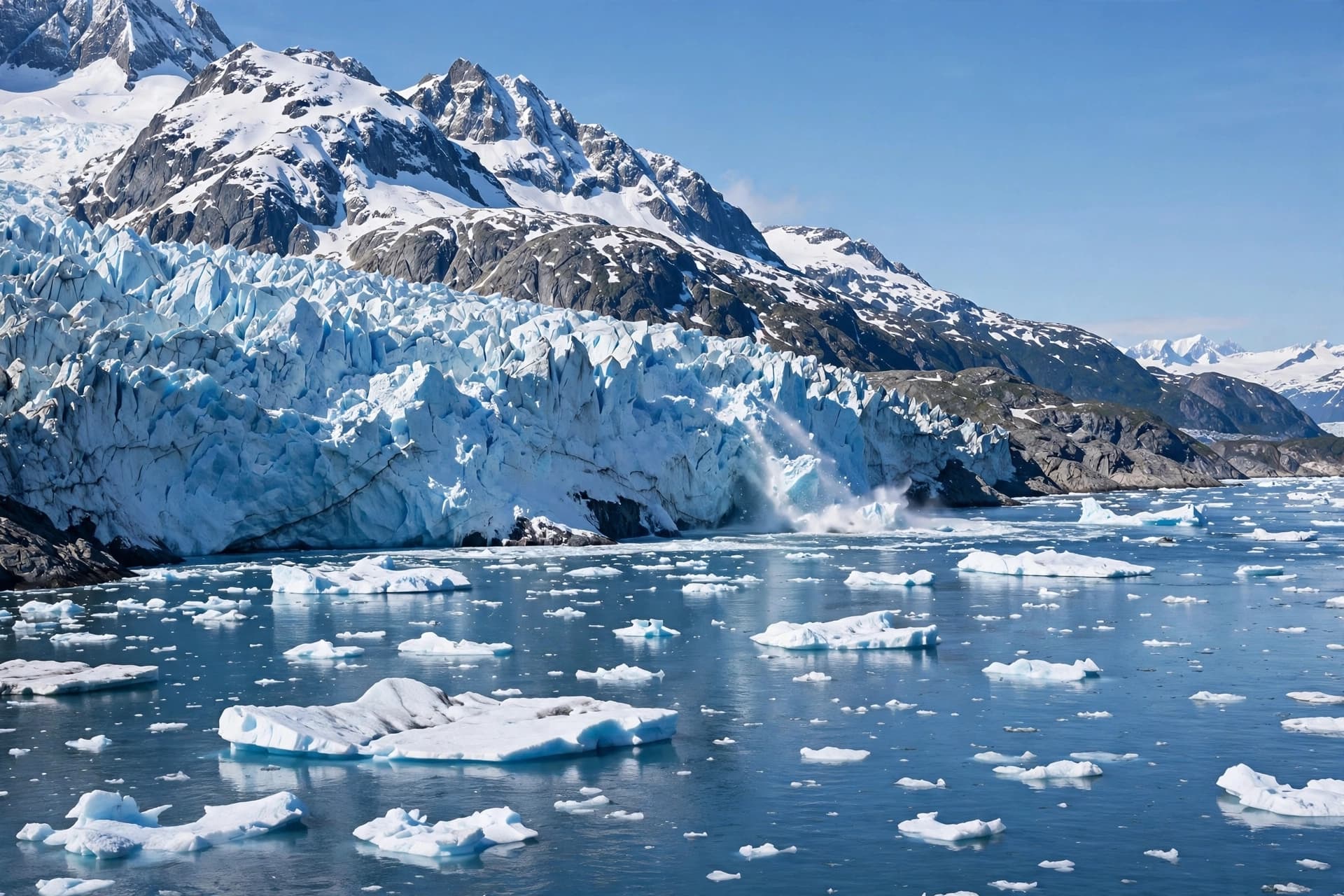
AI Image Disclaimer: The visuals accompanying this article are AI-generated illustrations designed to represent the scale of polar ice and its relationship to the ocean, not actual satellite imagery or photographic evidence of specific melt events.
Sources: Los Angeles Times, People, NewsNation, Scientific Data
Published by Banx Network. This article is part of the Banx decentralized media programme, powered by the BXE token on the XRP Ledger.