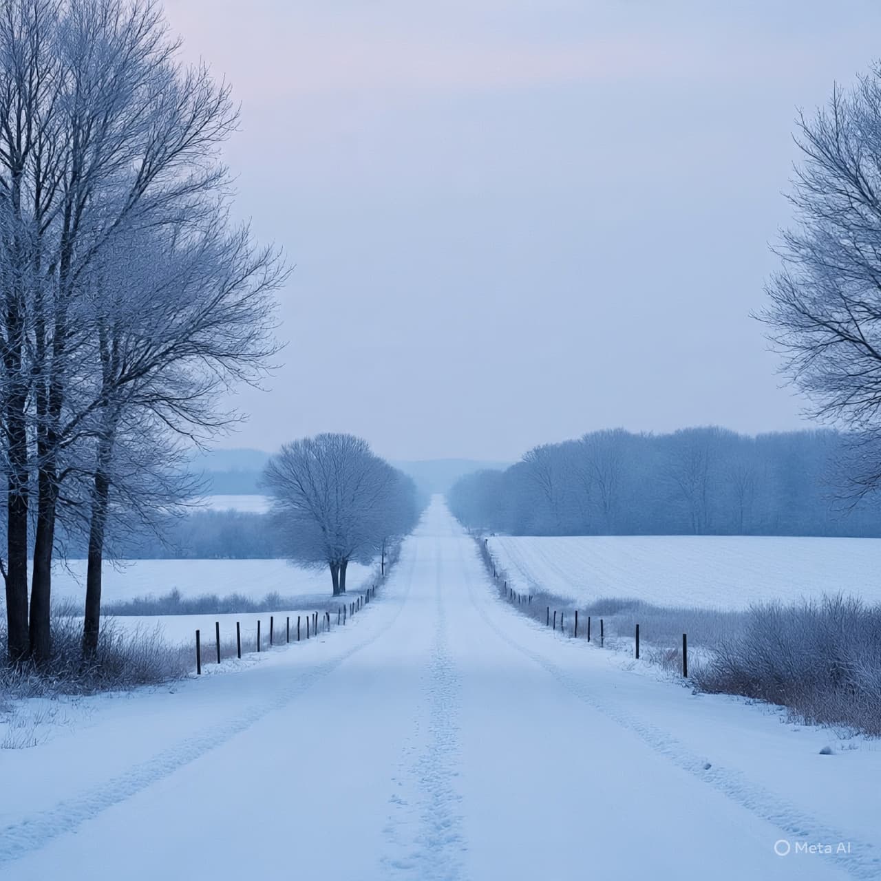
There is a peculiar hush that spreads across a landscape just before snow begins to fall — a stillness that seems to hold its breath, waiting. As dusk approaches Friday over southern Minnesota, the calm may not last. Signals from the sky and weather maps whisper of a coming storm that could drape familiar roads and quiet fields in white.
Scientists at the National Weather Service (NWS) are watching closely. Their forecasts suggest a strong possibility that a winter storm will sweep through southern Minnesota Friday into Saturday, with snow accumulating in heavier amounts than many expect this early.
At stake: roads, routines, and the fragile ease of daily life. Snowfall could pile up — forecasts now hint at 6–8 inches or more, with a growing chance totals across parts of the region might reach 8–12 inches. Winds may saddle the snowfall with drifting and blowing snow, making travel conditions tricky, especially on open roads and rural stretches.
This might come as a surprise to those who expected winter’s first hush to arrive later. Instead, snow seems to be rushing ahead, pulling the season forward — folding autumn’s last light beneath layers of white before many are fully ready.
For households and travelers, the warnings are gentle but firm: prepare. Winter tires, shovels, and a watchful eye on forecasts may make all the difference. Blended with cold air and gusty wind, what begins as a soft snow could end in slick roads or drifting snow draping fields and fences.
Yet, even as snowflakes begin to fall, there is a quiet beauty in the change — a transformation of familiar terrain into a new palette of white and gray, softening edges, blurring distance. The hush before the storm becomes a hush under snow: different, but no less peaceful.
Whether this storm brings heavy snowfall or passes with a lighter touch, it reminds us how quickly the sky and earth can shift — and how deeply human life remains tethered to those shifts. In Minnesota this weekend: watch the sky, mind the roads, and be ready for the hush to fall once more.
AI IMAGE DISCLAIMER Graphics are AI-generated and intended for representation, not reality.
SOURCES MPR News The Intelligencer / Bring Me The News KTHA-affiliated weather reports (compilations of NWS forecasts).
Published by Banx Network. This article is part of the Banx decentralized media programme, powered by the BXE token on the XRP Ledger.


.jpg&w=3840&q=75 "Russia and Iran Deepen Weapons Partnership Amid Wars in Ukraine and the Middle East")