There is a particular kind of threat that arrives not with a crash or a roar, but with a slow, almost imperceptible rise—a threat that does not announce itself as danger until the water is already where it should not be. Along the West Coast of the United States, that slow rise is now underway. A series of Kelvin waves—broad, warm pulses of water moving north from the equator—are lifting sea levels by as much as a foot, and they are expected to continue arriving through February. For Washington State, the concern is not the wave itself, but what it does to the baseline.
Kelvin waves are not like tsunamis. They do not curl and crash onto the beach. A better image, as scientists describe it, is water sloshing in a bathtub—a bulge of water, wider than it is deep, that extends twelve to twenty miles offshore and about two hundred meters down . They form when trade winds along the equator weaken or reverse, pushing warm water eastward until it strikes South America, then deflects north and south along the coast. They are common during El Niño years, and this year's El Niño is expected to be a strong one.
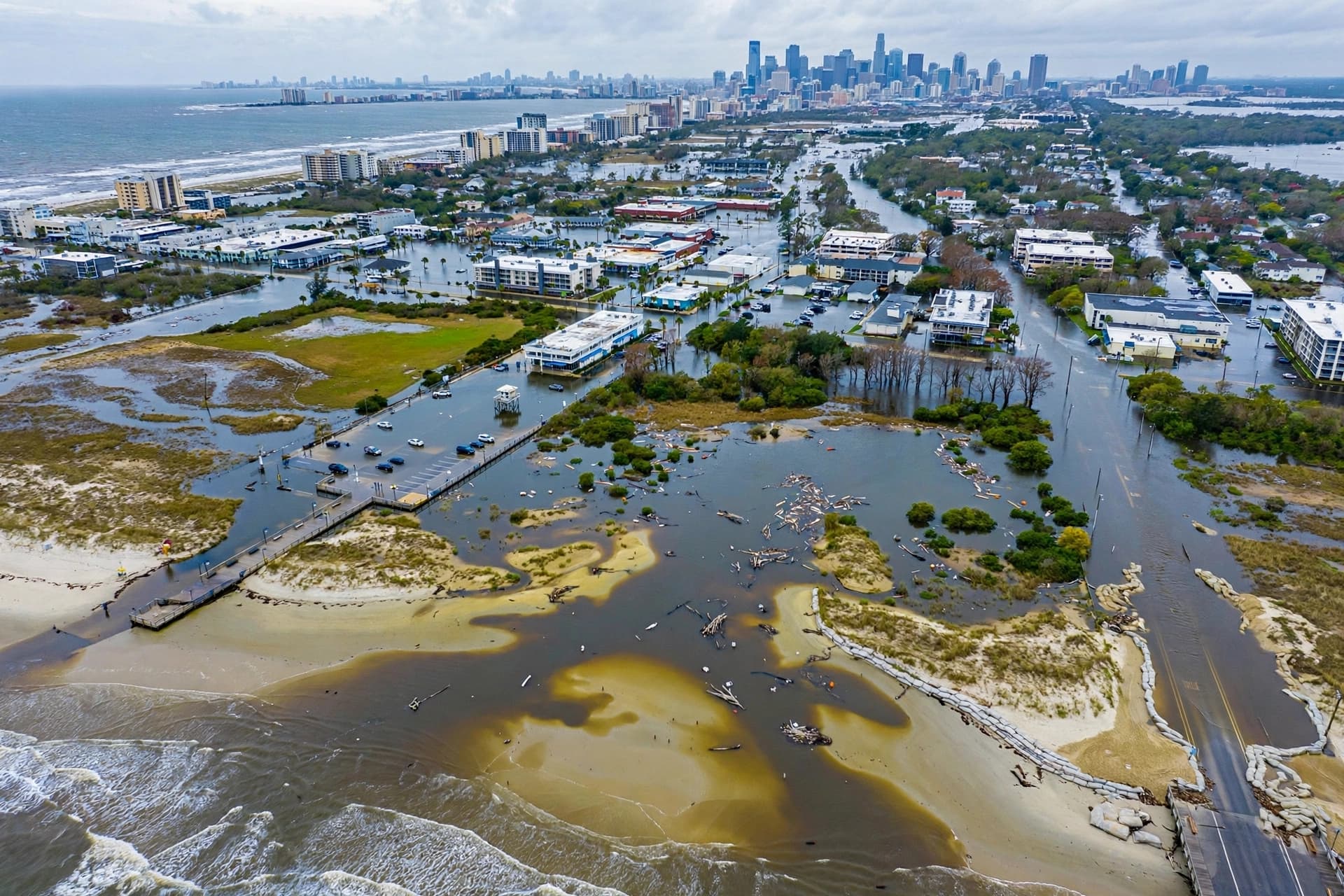
The wave currently moving north is expected to lift sea levels by six inches to a foot along the California coast before reaching Oregon and Washington . On its own, that rise would not cause flooding. But as Michael Jacox of NOAA Fisheries explained, the wave raises the baseline—and when that higher baseline coincides with high tides, storm surges, or large swells, the effects can be amplified . Sean Vitousek of the U.S. Geological Survey noted that the combination of higher sea levels, larger-than-average waves, and high spring tides from October to February can cause exceptional erosion on the West Coast. The largest El Niño events of the past—1982-83, 1997-98, and 2015-16—produced the worst beach erosion on record .
For Washington, the wave should weaken as it travels north, according to Logan Howard, a meteorologist with the National Weather Service. But he cautioned that it is too early to rule out flooding and erosion on the state's coastline. Much depends on atmospheric conditions when the wave arrives—low pressure and strong shore winds pushing water up the coast are signs that flooding and erosion could follow. The southern coast and the Olympic Peninsula are considered most at risk .
California has already taken action. Governor Gavin Newsom declared a state of emergency in September to mobilize resources for El Niño impacts this fall and winter . In Orange County, officials are placing sand on beaches as quickly as possible, and waves are already approaching a seaside rail line. Homes on the ocean's edge were damaged during swells from Hurricane Marie last month .
The waves also carry consequences beneath the surface. They increase ocean temperatures and push cold, nutrient-rich waters deeper, affecting marine life. Experts expect five or six Kelvin waves during a typical El Niño; five occurred during the 2015-2016 event, and one already passed through in May or June. A third is forming . For coastal communities already grappling with rising sea levels and erosion, the months ahead will be a test of preparation and patience. The water will not rush in. It will simply be higher than it was, and that may be enough.
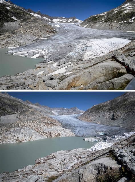
AI Image Disclaimer: The images accompanying this article were generated by artificial intelligence and are for illustrative purposes only.
Sources: AP News, Tri-City Herald, vijesti.me
Published by Banx Network. This article is part of the Banx decentralized media programme, powered by the BXE token on the XRP Ledger.