
Key Highlights
- El Niño is expected to influence New York's winter weather significantly.
- Forecasts indicate a 50-60% chance of above-normal temperatures this winter.
- Precipitation predictions vary, with eastern New York likely to see more rain than snow.
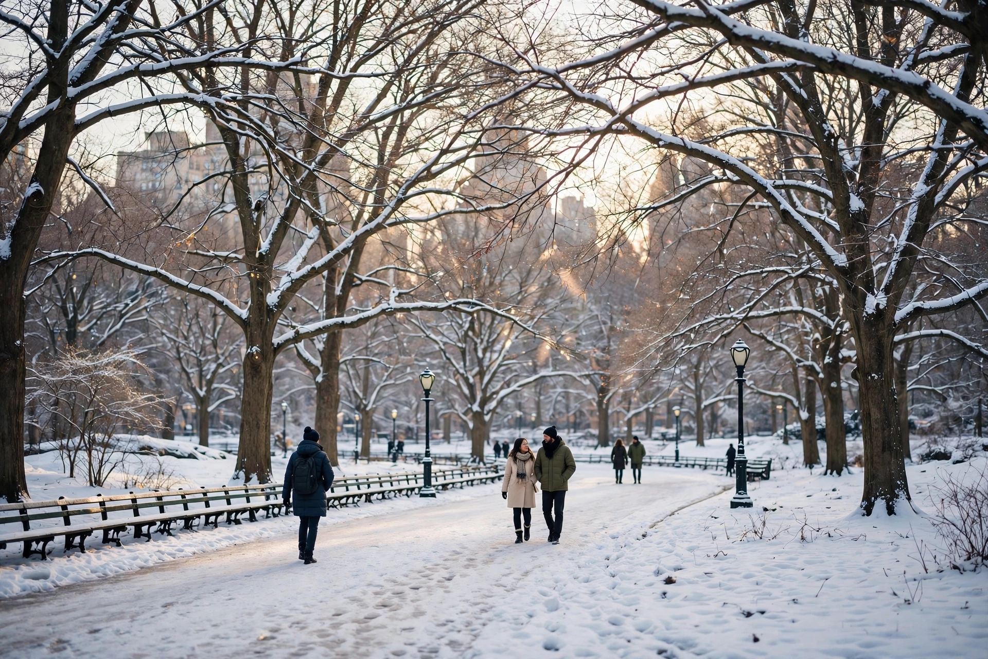
New Yorkers are bracing for a winter that may not conform to the traditional expectations of heavy snowfall and frigid temperatures. Instead, meteorologists are forecasting a season characterized by milder conditions, largely influenced by a strong El Niño phenomenon. This climatic event, marked by the warming of equatorial Pacific waters, is anticipated to shift weather patterns across the United States, particularly affecting the Northeast.
According to the National Oceanic and Atmospheric Administration's (NOAA) Climate Prediction Center, the outlook for December 2026 through February 2027 suggests a 50 to 60 percent likelihood of above-normal temperatures for New York. This trend indicates that while winter will still occur, the overall averages at the season's end are expected to lean towards milder conditions rather than the harsh cold that often defines New York winters.
Precipitation forecasts present a more complex picture. In western and central New York, including parts of the Adirondacks, the chances of above- or below-normal precipitation are roughly equal. However, in eastern New York—encompassing the Capital Region, Catskills, Hudson Valley, and New York City—there is a notable increase in the likelihood of above-normal precipitation, with probabilities ranging from 33 to 50 percent depending on the specific area. The type of precipitation—whether rain or snow—will depend heavily on the temperatures at the time of each weather event.
The mechanics behind this winter's forecast are rooted in the behavior of the jet stream, which is expected to shift southward and eastward due to El Niño. This alteration in the jet stream's path typically leads to more coastal storms impacting the East Coast. However, with temperatures predicted to be above average, these storms are more likely to deliver rain rather than snow along the coast, while inland areas may experience mixed precipitation.
Private forecasters have provided additional insights, with FOX 5 NY's Nick Gregory estimating that New York City and its nearby suburbs could see between 12 to 20 inches of snow this season. However, he cautions that this estimate may be overly optimistic given the prevailing warm signals. In contrast, areas of New Jersey south of the city might receive 7 to 12 inches, while regions like the Upper Hudson Valley and Catskills could see totals ranging from 20 to 30 inches. These projections highlight the uncertainty inherent in weather forecasting, as a single storm can dramatically alter seasonal totals.
The memory of last winter, which saw New York City receive nearly 60 inches of snow, serves as a stark reminder of the variability of winter weather. This historical context underscores that seasonal forecasts are based on probabilities rather than certainties. A winter predicted to be mild can still yield unexpected cold snaps or significant snowfall, reminding residents that nature often defies expectations.
For New Yorkers, the implications of a warmer winter are tangible. While lower heating costs may be a benefit, the potential for increased rainfall could lead to flooding during coastal storms. Additionally, the city's snowplows may remain idle for longer periods, and the first significant snowfall might arrive later than anticipated. Although these outcomes are not guaranteed, they represent plausible scenarios based on current forecasts.
Ultimately, the winter forecast serves as an educated guess about a complex system influenced by numerous factors. While NOAA's outlook and local forecasts suggest a trend towards milder conditions, the possibility of cold and snow remains a part of the winter narrative in New York. As the season unfolds, residents will experience whatever winter arrives, with the forecast merely hinting at which version is more likely to knock on their doors.
AI Image Disclaimer: The imagery in this article is generated by AI and is for illustrative purposes only; it does not represent actual weather conditions or forecasts.
Published by Banx Network. This article is part of the Banx decentralized media programme, powered by the BXE token on the XRP Ledger.