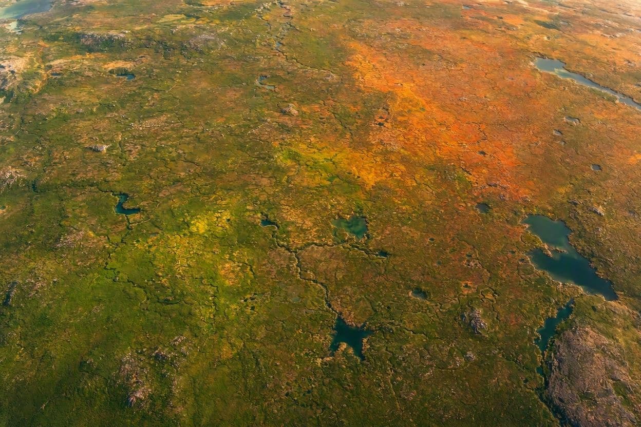
From the vantage point of orbit, Earth reveals itself not merely as a blue marble, but as a living, breathing entity that shifts in rhythm with the seasons. In the vast expanse of Northern Canada, where the tundra stretches toward the Arctic Circle, this transformation is particularly striking. NASA satellites have once again captured the subtle yet profound shift in color as the landscape transitions from the deep greens of summer to the russet and gold hues of autumn. This annual spectacle, viewed from hundreds of miles above, serves as a gentle reminder of the planet’s enduring cycles.
The imagery, collected by instruments such as the Visible Infrared Imaging Radiometer Suite (VIIRS) on the Suomi NPP satellite, offers a unique perspective on ecological change. As daylight hours shorten and temperatures drop, chlorophyll in the vegetation breaks down, revealing other pigments that paint the terrain in warm tones. For scientists, these images are more than just beautiful; they are data points that help track the health of ecosystems, monitor carbon cycles, and understand the impacts of climate change on high-latitude regions.
Northern Canada is a critical region for global climate regulation. The tundra stores vast amounts of carbon in its soil and vegetation. By observing the timing and intensity of seasonal color changes, researchers can gauge how these ecosystems are responding to warming temperatures. Earlier springs or delayed autumns can signal shifts in plant growth patterns, which in turn affect wildlife migration and local communities that rely on the land.
The satellite view also highlights the stark contrast between the rugged wilderness and the encroaching signs of human activity. While much of the region remains pristine, the clarity of modern imaging allows for the detection of subtle changes caused by infrastructure development or resource extraction. This dual lens of beauty and scrutiny underscores the importance of preserving these remote areas while studying their role in the broader Earth system.
For the public, these images offer a moment of connection to a distant and often inaccessible part of the world. Seeing the continent change color from space fosters a sense of shared stewardship. It reminds us that even in the most isolated corners of the globe, nature follows a predictable yet delicate pattern that sustains life. The visual poetry of the shifting landscape invites reflection on our place within it.
Technological advancements have made it possible to monitor these changes with unprecedented precision. High-resolution sensors can distinguish between different types of vegetation, providing detailed insights into biodiversity. This capability enhances our ability to predict future environmental trends and develop strategies for conservation. It turns the sky into a laboratory, where every pixel tells a story of survival and adaptation.
As the season progresses, the colors will deepen before giving way to the white blanket of winter. This cycle, repeated for millennia, continues to unfold under the watchful eye of space-based observatories. The data collected today will inform decisions tomorrow, helping to protect the integrity of the Arctic environment. It is a testament to how technology can enhance our appreciation of natural wonders.
In the end, the view from space is both humbling and inspiring. It shows us a planet in constant motion, changing yet constant. By witnessing the seasonal shift in Northern Canada, we are reminded of the resilience of nature and the importance of keeping a watchful eye on the health of our home.
AI Image Disclaimer: The visual representations included here are AI-generated illustrations designed to depict satellite imagery concepts and autumnal landscapes, not actual raw data images from NASA satellites.
Sources: NASA Earth Observatory NOAA Canadian Space Agency
Published by Banx Network. This article is part of the Banx decentralized media programme, powered by the BXE token on the XRP Ledger.