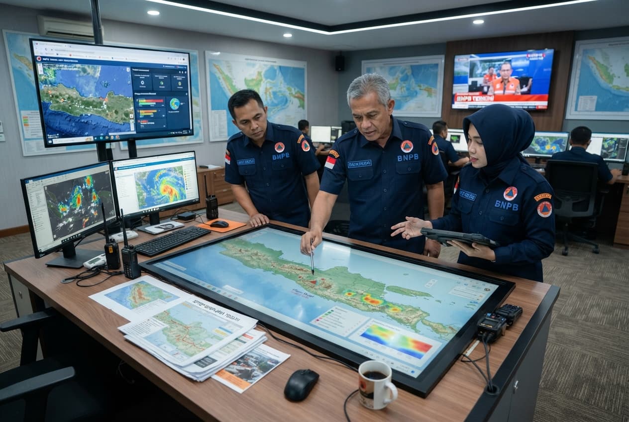
Ternate, Indonesia—A minor magnitude 2.8 earthquake registered off the coast of West Halmahera on Sunday morning, producing light tremors felt across nearby island settlements. Seismological monitoring equipment recorded the shallow subterranean slip at a depth of ten kilometers beneath the seabed. Residents in coastal villages reported a brief, faint vibration that rattled household dishware. No structural damage or emergency disruptions occurred across the local municipal districts. Regional disaster management agencies reviewed telemetry feeds to verify that tsunami generation risks remained entirely absent.
Geophysical field stations continued logging secondary micro-seismic activity following the initial instrument reading. Local inhabitants experienced minimal alarm given the frequent occurrence of low-magnitude slips throughout the Maluku tectonic arc. Civil defense teams remained on routine standby status without requiring emergency deployment. Meteorological officials reiterated that minor crustal adjustments are normal characteristics of the Indonesian archipelago's active fault systems.
Public information networks broadcast advisory updates confirming that community infrastructure sustained zero negative impact. Regional planning offices maintain continuous contact with island village heads to monitor any delayed structural reports. Seismologists continue analyzing waveforms to map minor fault line displacements in the Molucca Sea basin.
"The minor magnitude 2.8 tremor produced negligible surface energy and zero structural displacement across West Halmahera," a regional geophysical station duty officer noted at the monitoring console. "Sensor networks are operating normally and recording baseline tectonic activity." Routine data logging proceeds uninterrupted as monitoring shifts rotate across regional observation posts.
Published by Banx Network. This article is part of the Banx decentralized media programme, powered by the BXE token on the XRP Ledger.