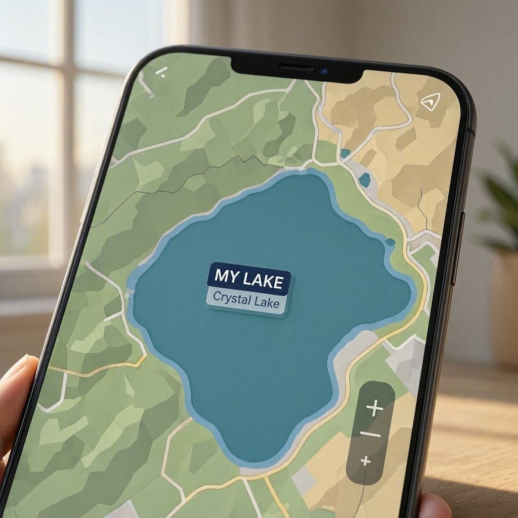
In the digital age, maps are no longer static representations of geography but dynamic interfaces that reflect user context and perspective. Google’s recent update to display Lake Ontario as "Lake America" for users in the United States has sparked curiosity and conversation. This change highlights the evolving nature of digital cartography, where localization meets identity, raising questions about accuracy, nationalism, and the power of tech platforms to shape our perception of place.
The decision to alter the name based on location is rooted in the principle of personalization. For American users, the label "Lake America" may resonate with a sense of national ownership or familiarity, even if the lake is shared with Canada. It is a subtle nod to the way people relate to geographic features that cross borders.
However, this approach challenges traditional notions of geographic consistency. Lake Ontario is an internationally recognized name, established through history and treaty. Changing it for a specific audience can create confusion, particularly for travelers or students who rely on maps for accurate information. It blurs the line between customization and factual representation.
From a technical standpoint, the update demonstrates the sophistication of Google’s algorithms. By detecting user location and adjusting content accordingly, the platform creates a more relevant experience. This capability allows for greater engagement but also introduces ethical considerations about how truth is presented in a fragmented digital world.
The reaction from the public has been mixed. Some appreciate the localized touch, seeing it as a harmless quirk. Others worry about the implications for geographic literacy and international cooperation. It serves as a reminder that technology is not neutral; it carries the values and biases of its creators.
For educators and geographers, this change offers a teaching moment. It encourages discussions about borderlands, shared resources, and the importance of standardized naming conventions. Understanding why a map looks different to different people is a valuable lesson in global citizenship.
As digital maps become increasingly central to our daily lives, the responsibility of platforms like Google grows. Balancing user preference with factual accuracy is a continuous challenge. The case of Lake Ontario illustrates the delicate interplay between technology, identity, and truth.
Google Maps now displays "Lake America" for U.S. users instead of Lake Ontario, a localization feature that highlights the intersection of technology, geography, and national identity.
AI Image Disclaimer: Visuals accompanying this report are AI-generated and intended to provide contextual imagery rather than depict specific real-world events.
Sources: Google Official Blog The Verge TechCrunch
Published by Banx Network. This article is part of the Banx decentralized media programme, powered by the BXE token on the XRP Ledger.