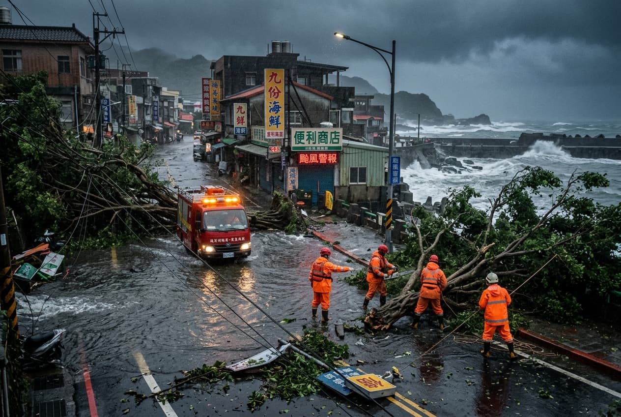
In the world of meteorology, relief is often tempered by caution. Hurricane Marie, a formidable storm churning in the Pacific, is not expected to make direct landfall in Southern California. However, this does not mean the region is entirely safe from its influence. The outer bands of the hurricane can still bring hazardous conditions, reminding residents that distance from the eye of the storm does not equate to immunity from its effects.
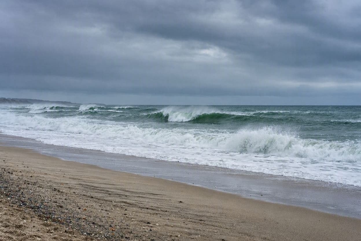
The primary concern for Southern California is the swell generated by Marie’s powerful winds. These long-period swells can travel thousands of miles, arriving on coastlines far from the storm’s center. Beaches may experience dangerous rip currents, high surf, and coastal flooding. Lifeguards have issued warnings, urging swimmers and surfers to stay out of the water and exercise extreme caution near the shore.
Additionally, the moisture associated with the hurricane’s remnants can interact with local weather patterns, leading to increased humidity and the potential for thunderstorms. While heavy rainfall is less likely than in direct hits, isolated showers and gusty winds are possible. Drivers are advised to be vigilant, as wet roads can reduce traction and visibility, increasing the risk of accidents.
Meteorologists emphasize that hurricane forecasts can change rapidly. While current models show Marie staying offshore, shifts in steering currents could alter its path. It is essential for residents to stay updated through reliable sources such as the National Weather Service. Complacency can be dangerous, especially when dealing with large-scale atmospheric systems.
The psychological impact of a nearby hurricane should not be underestimated. Even without a direct hit, the anticipation and preparation can cause stress and anxiety. Community leaders encourage residents to use this time to review emergency plans and ensure that supplies are stocked. Being prepared provides a sense of control and reduces uncertainty.
For coastal communities, the threat of erosion is also a concern. High tides combined with large swells can accelerate beach loss, impacting infrastructure and property. Local governments may implement temporary measures to protect vulnerable areas, such as sandbagging or closing access to certain beaches.
As Marie continues its journey, the focus remains on awareness and readiness. The storm serves as a reminder of the dynamic nature of the climate and the importance of respecting its power. By staying informed and cautious, residents can minimize risks and ensure their safety.
While Hurricane Marie is not expected to hit Southern California directly, its peripheral effects pose risks such as high surf and dangerous currents. Residents are urged to remain vigilant and prepared, acknowledging that safety requires constant attention during hurricane season.
AI Image Disclaimer: Images used to depict this weather event are AI-generated for illustrative purposes.
Sources: National Weather Service Los Angeles Los Angeles Times AccuWeather
Published by Banx Network. This article is part of the Banx decentralized media programme, powered by the BXE token on the XRP Ledger.