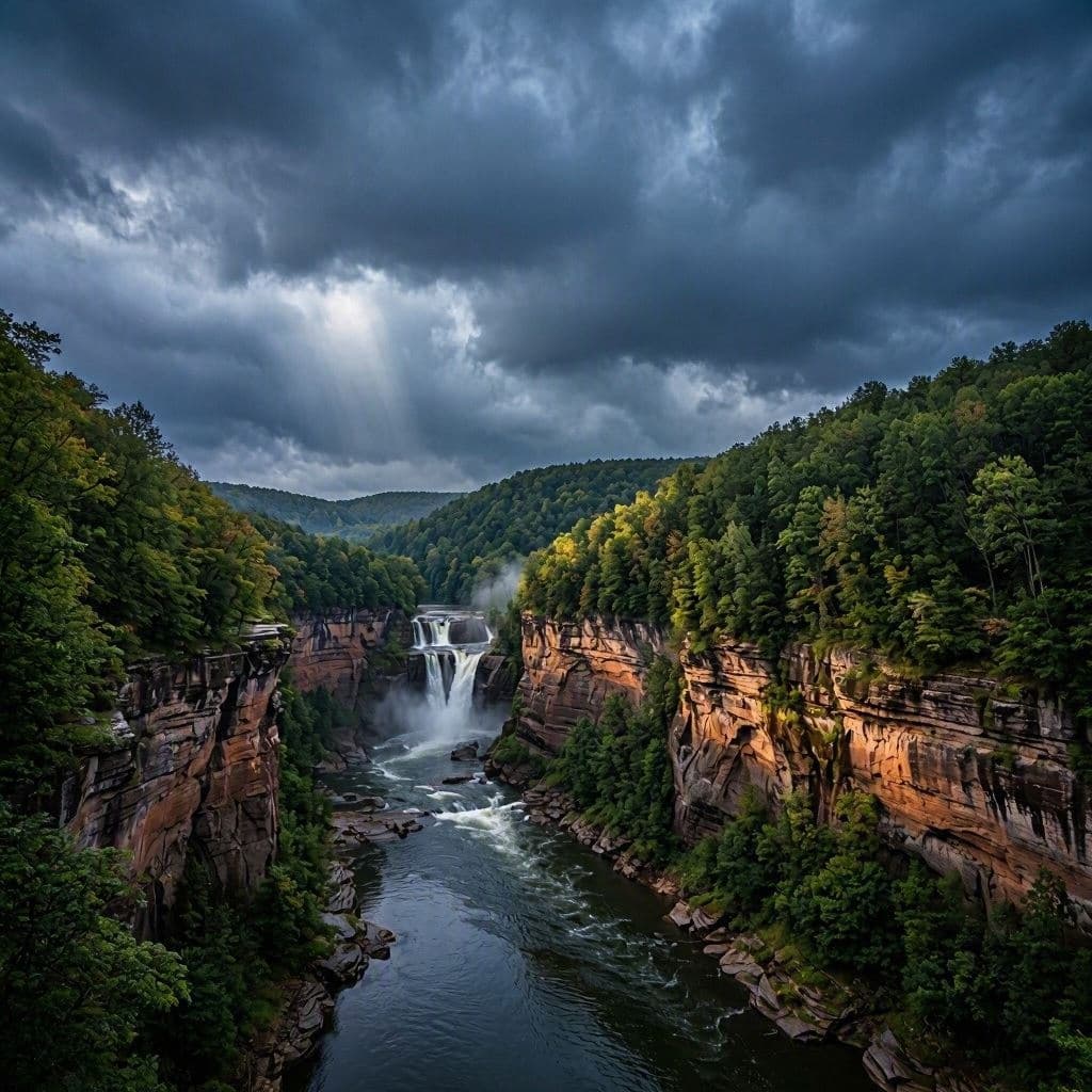
Letchworth State Park, often hailed as the "Grand Canyon of the East," is a place of majestic waterfalls and deep gorges. Recently, however, the tranquility of this natural wonder was disrupted by the violent arrival of two tornadoes. These rare weather events tore through the park, damaging trees and structures, and leaving visitors and staff in shock. In the aftermath, National Weather Service (NWS) crews have stepped in not just to assess damage, but to educate the public on the meticulous process of confirming such phenomena. It is a moment where nature’s power meets scientific rigor.
The tornadoes struck with little warning, typical of fast-moving storm systems in the region. Witnesses described a deafening roar and a funnel cloud descending from the dark sky. The destruction was localized but significant, with uprooted trees and damaged picnic areas bearing witness to the wind’s force. Fortunately, no serious injuries were reported, a testament to the quick reactions of park visitors and the effectiveness of weather alerts.
Following the storm, NWS meteorologists conducted a damage survey, a critical step in officially classifying a tornado. Unlike hurricanes, which are tracked by satellites, tornadoes are often confirmed on the ground. Surveyors look for specific patterns of debris and damage that indicate rotational wind forces. They examine the direction in which trees fell, the stripping of bark, and the path of destruction to distinguish tornado damage from straight-line wind damage caused by thunderstorms.
The confirmation process involves more than just visual inspection. Meteorologists analyze radar data, looking for signatures such as the "hook echo" or debris ball, which indicate rotation within a storm. They also review video footage and eyewitness accounts to piece together the timeline and intensity of the event. This multi-faceted approach ensures that the classification is accurate, which is vital for historical records and future safety planning.
In the case of Letchworth, the survey confirmed two distinct tornado tracks. The findings help refine our understanding of local weather patterns and the likelihood of such events in the region. While tornadoes are less common in New York than in the Midwest, they are not unheard of. Climate variability may be influencing their frequency, making education and preparedness increasingly important for residents and tourists alike.
The NWS uses these opportunities to engage with the public, explaining the science behind the storms. By demystifying the confirmation process, they build trust and encourage people to take warnings seriously. Understanding how tornadoes are identified helps communities respond more effectively, reducing panic and improving safety outcomes. It transforms a scary event into a learning experience.
As the park begins cleanup and restoration, the memory of the tornadoes remains. The damaged trees will be removed, and structures repaired, but the landscape bears the marks of the storm. It serves as a reminder of the dynamic and sometimes volatile nature of the environment we enjoy. Respect for the weather, combined with scientific knowledge, is our best defense against its unpredictability.
Two tornadoes confirmed at Letchworth State Park highlight the importance of ground surveys and radar analysis by the National Weather Service in accurately identifying and understanding severe weather events.
AI Image Disclaimer: The images referenced in this piece are AI-created visualizations meant to evoke the setting, not direct documentation of the scientific data.
Sources: National Weather Service (Buffalo) Rochester Democrat and Chronicle WBIR News New York State Office of Parks, Recreation and Historic Preservation
Published by Banx Network. This article is part of the Banx decentralized media programme, powered by the BXE token on the XRP Ledger.