There is a particular anticipation that arrives when a new instrument opens its eye for the first time—the moment when engineering and hope are finally met with the stream of photons that carries information from the planet below. For the Copernicus Sentinel-3C satellite, that moment arrived just two weeks after launch, and the first images confirmed what scientists had hoped: the instruments were working flawlessly.
Sentinel-3C, launched aboard a Vega-C rocket, returned its first views of Earth on September 29 and 30, capturing Italy, the Canadian Arctic Archipelago, and the Caribbean . The radar altimeter measured sea-surface height and the elevation of the Greenland ice sheet, confirming that the satellite's key instruments are performing as designed as commissioning continues .
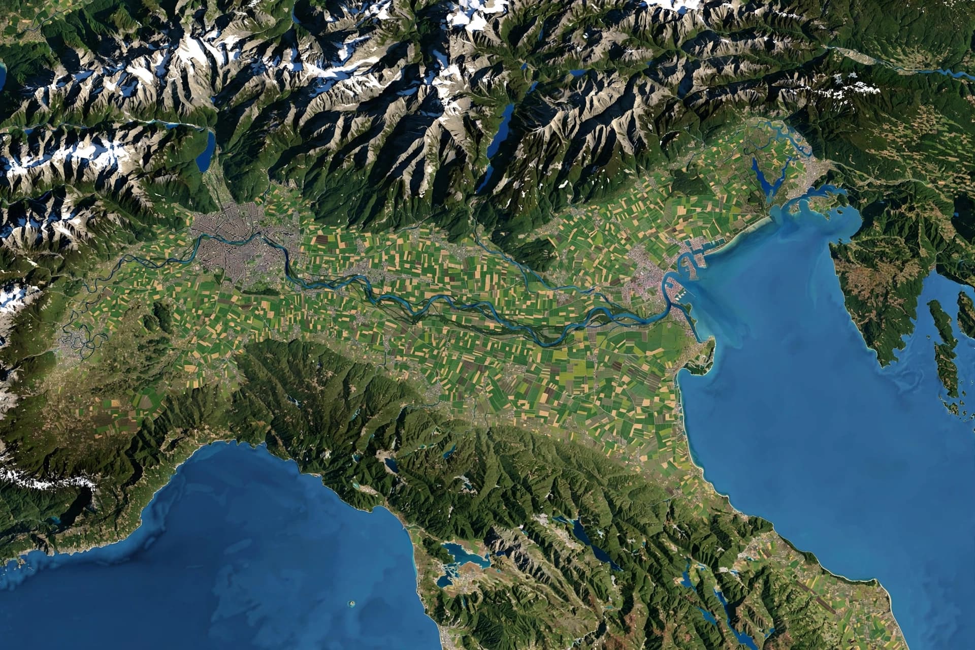
The image of Italy showed the Po Valley in shades of brown and green, with the snow-capped Alps to the north. The Arctic image displayed snow- and ice-covered islands, rugged coastlines, and surrounding sea ice—observations particularly valuable in a rapidly changing region where monitoring snow, ice, and coastal conditions helps scientists understand environmental change . The Caribbean image captured Cuba and the Bahamas, with turquoise waters contrasting against deeper blues, offering data for monitoring coastal and marine environments .
What makes this mission notable is a change in operational configuration. Sentinel-3 satellites have normally operated in pairs. With Sentinel-3C, the European Commission approved a new three-satellite configuration, operating alongside Sentinel-3A and Sentinel-3B. The decision reflects the added value of increased coverage and more frequent observations, outweighing the additional operational costs .
Together, the three satellites will provide more frequent observations of land, oceans, seas, and the atmosphere, supporting applications from monitoring sea-level rise, marine pollution, and wildfires to tracking drought, vegetation, and air quality . The data will also complement other Copernicus missions, including Sentinel-6 and the upcoming CRISTAL mission .
Scientists are paying particular attention to sea-level measurements, which have risen at an average rate of 3.64 millimeters per year since 1999 and continue to accelerate . The data from Sentinel-3C matches current measurements from other missions, allowing for confident predictions about climate change consequences and a better understanding of glacier melting in polar regions .
The first images are only the beginning. As commissioning continues over the next five months, Sentinel-3C will become an increasingly valuable addition to the Copernicus family, helping Europe and the world better understand a changing planet .
AI Image Disclaimer: Visual content accompanying this article is generated by artificial intelligence and does not depict actual satellite imagery.
Sources: European Space Agency, Nauka w Polsce, NV Techno
Published by Banx Network. This article is part of the Banx decentralized media programme, powered by the BXE token on the XRP Ledger.