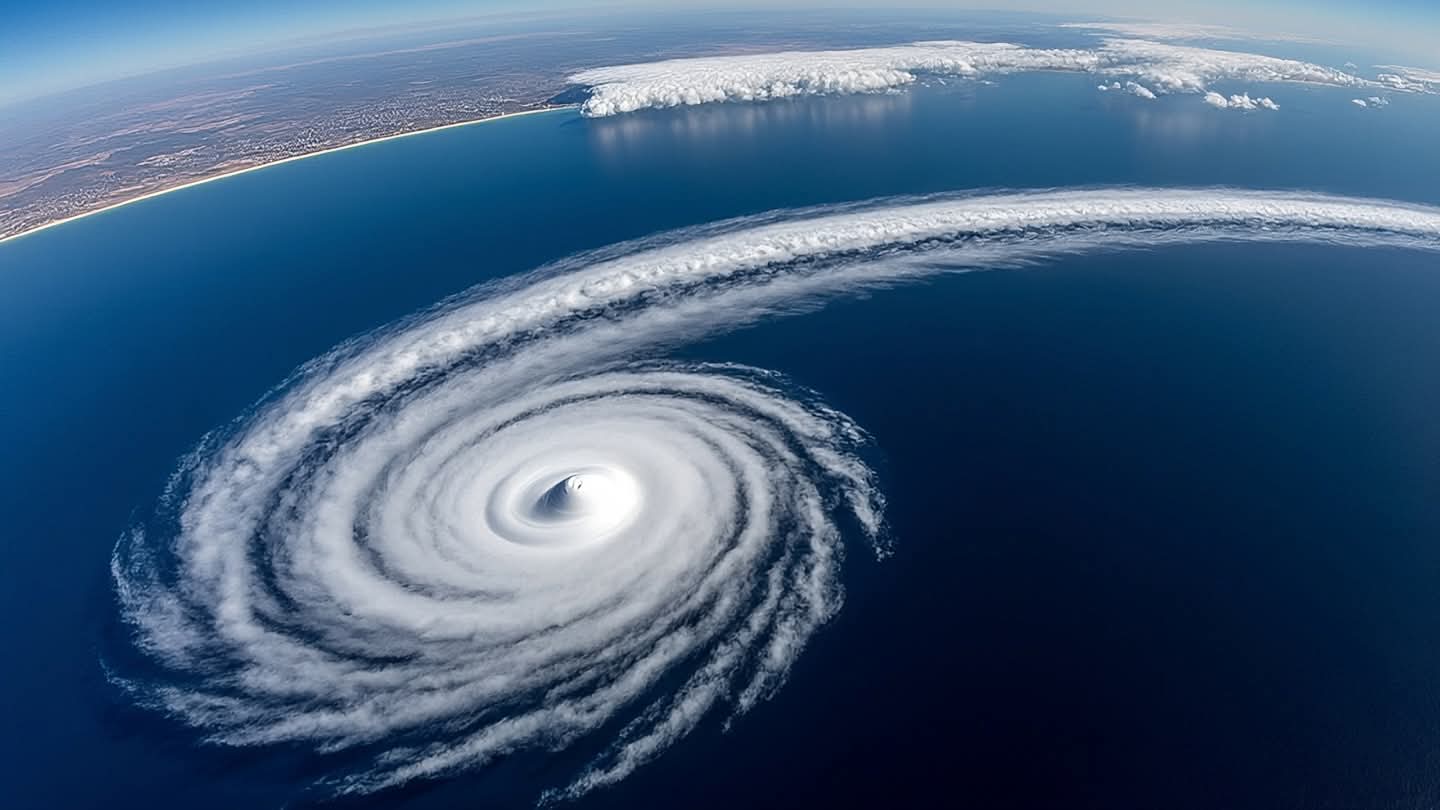
From the vantage point of space, the Earth’s weather systems appear as swirling works of art, vast and mesmerizing in their scale. Yet, these beautiful spirals carry immense power that can reshape landscapes and disrupt lives. Recent satellite imagery has captured the dramatic moment Typhoon Saudel made landfall in eastern China, offering a stark visual reminder of nature’s force. The images serve not only as scientific data but as a testament to the vulnerability of coastal regions in the face of increasingly volatile climate patterns.
The typhoon, with its well-defined eye and dense cloud bands, moved steadily toward the coast before making contact with the mainland. Meteorologists tracked its progress using advanced remote sensing technology, which provided real-time updates on wind speeds, rainfall intensity, and storm surge potential. This data was crucial for local authorities in issuing timely warnings and coordinating evacuation efforts in affected provinces.
Eastern China is frequently in the path of tropical cyclones during the late summer and autumn months. The region’s infrastructure and emergency response systems are designed to withstand such events, but each storm presents unique challenges. Saudel brought heavy rains and strong winds, leading to localized flooding and transportation disruptions. The satellite views helped officials identify the hardest-hit areas, allowing for more targeted relief operations.
For the residents in the storm’s path, the experience was one of heightened alertness and caution. Many had prepared days in advance, securing homes and stocking supplies. The visual confirmation from space offered a sense of certainty amidst the uncertainty of the storm’s behavior. It allowed communities to understand the magnitude of the threat and act accordingly, minimizing risk to life and property.
The use of satellite imagery in disaster management has revolutionized how societies respond to natural hazards. It provides a comprehensive overview that ground-based sensors cannot match, revealing the full scope of the storm’s impact. This technological advantage enables better planning and resource allocation, ultimately saving lives and reducing economic losses.
Climate scientists note that while the frequency of typhoons may vary, their intensity is a growing concern. Warmer ocean temperatures provide more energy for these systems, potentially leading to stronger winds and heavier precipitation. Monitoring these trends through satellite data is essential for long-term adaptation strategies and urban planning in vulnerable coastal zones.
As Saudel moved inland and began to weaken, the focus shifted to recovery and assessment. The satellite images will continue to be analyzed to understand the storm’s structure and behavior, contributing to the global body of knowledge on tropical meteorology. Each event offers lessons that can improve future predictions and preparedness.
Local authorities have reported that emergency responses were effective, with no major casualties reported. Cleanup and restoration efforts are underway as the region returns to normalcy, aided by the detailed insights provided by satellite monitoring.
AI Image Disclaimer: Please note that the visual accompaniments for this article are AI-generated illustrations created to reflect the thematic elements of satellite meteorology, storm dynamics, and coastal resilience.
Sources: National Satellite Meteorological Center (China) Reuters Associated Press BBC News NASA Earth Observatory
Published by Banx Network. This article is part of the Banx decentralized media programme, powered by the BXE token on the XRP Ledger.