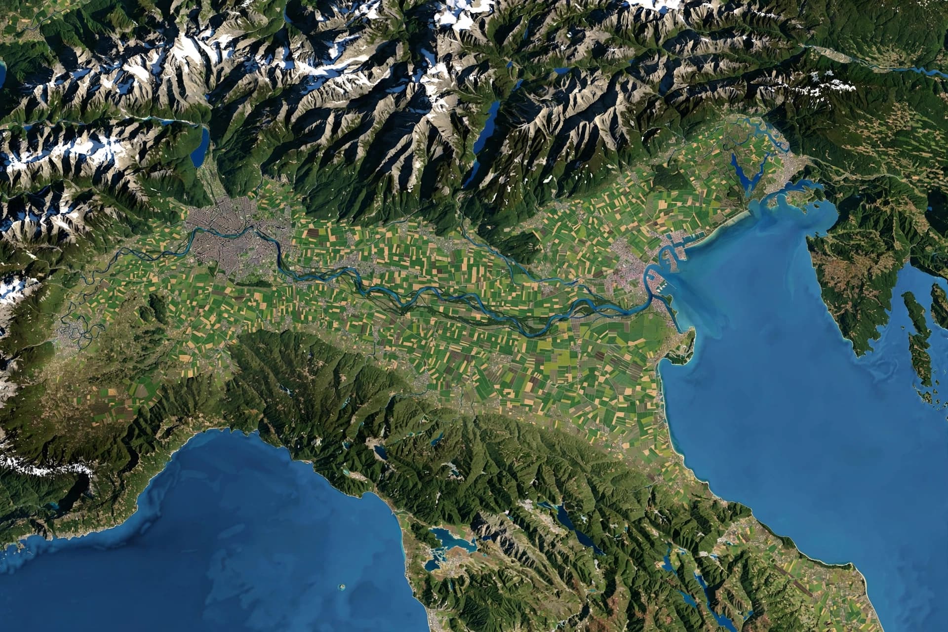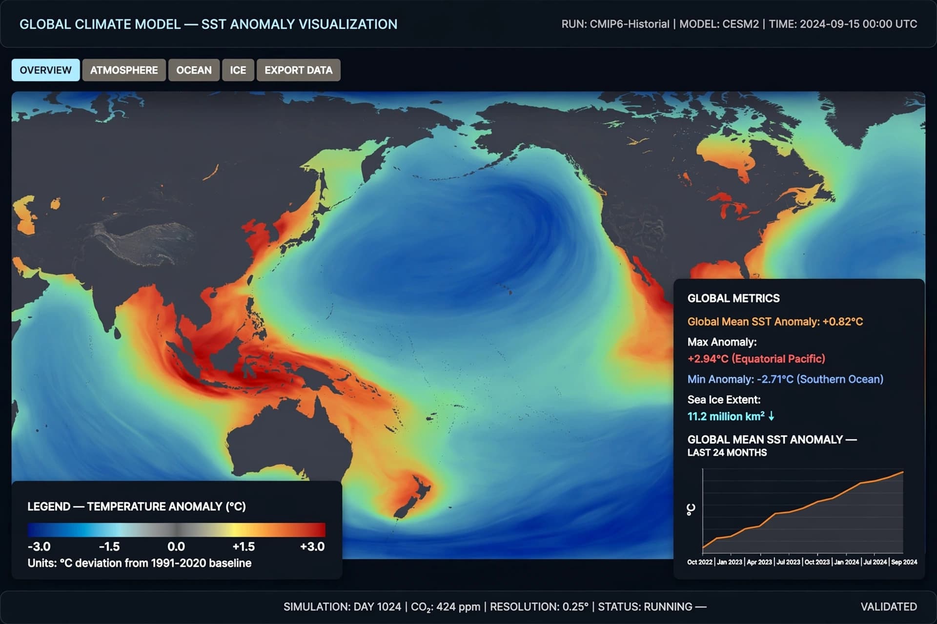
There is a way of measuring change that does not announce itself loudly. It unfolds in millimeters, in quiet increments, in numbers that seem small until they are gathered across years and oceans. From far above the Earth, instruments aboard satellites trace these subtle shifts, sending down streams of data that, taken together, form a deeper, more unsettling picture.
Using advanced laser altimetry—often described as “space lasers”—scientists are observing sea levels with a precision once unimaginable. Missions such as , operated by , emit pulses of light toward the planet’s surface, measuring the time it takes for those signals to return. From this, researchers can detect minute changes in ocean height, tracking the slow rise of seas across the globe.
What these measurements reveal is not a sudden surge, but a persistent acceleration. Sea levels are rising not only steadily, but at a pace that is increasing over time. The causes are layered: the thermal expansion of warming oceans, the melting of glaciers, and the gradual loss of ice from Greenland and Antarctica.
Each factor contributes in its own way, but together they form a cumulative effect—one that becomes more visible with each passing year. Satellite records, combined with long-term observational data from agencies like , indicate that the rate of sea level rise has more than doubled compared to much of the 20th century.
There is, within this data, a certain quiet clarity. Unlike surface-level observations, which can vary with weather or seasonal change, satellite measurements offer consistency. They remove much of the ambiguity, allowing scientists to observe the oceans as a connected system rather than isolated regions.
And yet, translating these measurements into lived experience is not always straightforward. A few millimeters per year may seem abstract, but over decades, they accumulate—reshaping coastlines, increasing the frequency of flooding, and altering ecosystems that depend on stable conditions.
In low-lying regions, even small rises can amplify the impact of storms and tides. What was once a rare event may become more common, not because storms are necessarily stronger, but because the baseline has shifted.
The use of space-based observation introduces another layer to the story. It reflects how far scientific capability has extended—how the tools of measurement now operate at a planetary scale. From orbit, the Earth is observed not in fragments, but as a whole, its changes recorded with a level of detail that allows patterns to emerge over time.
Still, the data does not speak in urgency or alarm. It remains measured, precise, and consistent. The interpretation, however, carries weight. Scientists describe the trend not as speculative, but as observed—a continuation of processes already underway.
As research continues, projections may evolve, refined by new data and improved models. But the direction of change, as currently understood, appears steady.
And so, the story settles into a quiet recognition. Not of a distant possibility, but of an ongoing shift—one that unfolds gradually, yet persistently, across the surface of the world.
It is not a sudden rise that defines this moment, but a continuous one—measured in light, observed from space, and felt, slowly, at the edges of land and sea.
AI Image Disclaimer Visuals are created with AI tools and are not real photographs.
Source Check Credible sources found:
NASA NOAA Nature Climate Change The Guardian Reuters
Published by Banx Network. This article is part of the Banx decentralized media programme, powered by the BXE token on the XRP Ledger.