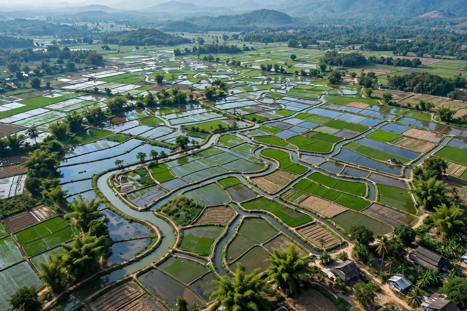
The arteries of global agriculture run quietly across continents, carrying water from rivers and reservoirs to fields that feed billions. These canals, narrow and often unmonitored, have long remained invisible to the tools of modern satellite observation. Yet a new study from the University of Washington suggests that what was once hidden may now be measurable, and that the key to monitoring the world's irrigation systems was already orbiting above us.
The study, published September 30 in Geophysical Research Letters, analyzed data from NASA's Surface Water and Ocean Topography (SWOT) mission, a satellite designed to track the water levels of oceans, lakes, and rivers . Launched in December 2022, SWOT uses interferometric radar to detect elevation changes across Earth's surface, completing a full scan at least once every three weeks . The mission's architects never intended it to observe irrigation canals, which are frequently narrower than 20 meters—a scale at the extreme low end of the satellite's observational power .
Faisal Hossain, a UW professor of civil and environmental engineering and co-author of the study, suspected otherwise. In 2025, he and collaborators published the Global Registry of Agricultural Irrigation Networks (GRAIN), a dataset that used open-source mapping data and machine learning to chart 3.8 million kilometers of canal networks worldwide . Lead author Mridul Sharma, a UW graduate research assistant, then overlaid SWOT's radar data onto the canal map to see whether meaningful elevation changes could be detected where canals existed.
The result was what Sharma described as an accidental and pleasant discovery. When researchers examined roughly 800,000 kilometers of canals across 22 countries in Asia—a region where irrigation supports approximately 3 billion people—they found that SWOT could measure water levels with moderate to high confidence at more than 85 percent of locations . Of the kilometers studied, 37.5 percent were classified as highly observable, 46.9 percent as moderately observable, and 15.6 percent as poorly observable . The highest-confidence areas corresponded to well-organized, wider canals with smooth slopes and open surroundings. Dense vegetation proved to be the satellite's biggest obstacle.
The implications of this finding extend beyond technical achievement. For farmers and water managers who have long relied on scattered gauges, inspections, and local reports, the ability to monitor canal water levels from space represents a fundamental shift in how agricultural water systems might be managed. Hossain noted that this is not simply a new satellite capability but potentially a new way of managing the water conveyance systems that sustain modern agriculture .
In practical terms, SWOT-powered tools could eventually allow farmers to see which canals are carrying sufficient water, identify where levels drop unexpectedly, and understand the evolution of water delivery across an entire growing season. A farmer preparing to plant rice, for instance, might observe through SWOT that insufficient water will arrive at their field and switch to a less water-intensive crop like corn or wheat . Hossain and collaborators are already building such monitoring systems for South Asia and the western United States.
The study adds a new chapter to the story of how tools designed for one purpose can reveal something entirely unexpected. SWOT was built to study oceans and rivers, yet it has begun to illuminate the hidden dynamics of canals that sustain agricultural production around the globe. As Hossain observed, some of the most important scientific discoveries happen this way—when a mission built for one thing offers a surprise, and what was once invisible becomes measurable .
---
AI Image Disclaimer: The visual content in this article was generated by artificial intelligence and is intended for illustrative purposes only.
Sources: University of Washington, Geophysical Research Letters, EurekAlert
Published by Banx Network. This article is part of the Banx decentralized media programme, powered by the BXE token on the XRP Ledger.