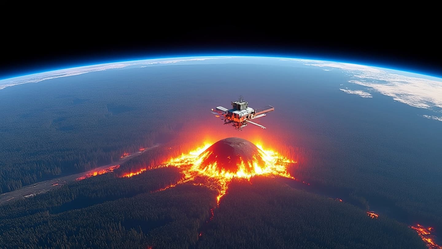
In the golden hills of California, where dry winds and dense vegetation create a tinderbox environment, the threat of wildfire is a constant companion. For years, detection relied on watchtowers, aerial patrols, and satellite imagery that often arrived too late to prevent significant spread. Now, a new constellation of satellites known as FireSat promises to change this narrative. Designed to detect heat signatures minutes after ignition, these orbital sentinels offer a hopeful vision of a future where fires are caught in their infancy, protecting communities and ecosystems from devastation.
Body: FireSat represents a significant leap forward in remote sensing technology. Unlike traditional weather satellites that pass over a region only a few times a day, the FireSat constellation operates in low Earth orbit with multiple units working in tandem. This configuration ensures frequent coverage, allowing for near-real-time monitoring of thermal anomalies. The sensors are tuned to detect the specific infrared wavelengths emitted by small fires, distinguishing them from other heat sources like industrial plants or sunlight reflection.
The speed of detection is critical. In the early stages, a wildfire can be contained with minimal resources. However, once winds pick up and flames spread, containment becomes exponentially more difficult and dangerous. By alerting fire managers within minutes of ignition, FireSat enables a rapid response that can mean the difference between a controlled burn and a catastrophic inferno. This proactive approach shifts the strategy from reaction to prevention.
California has been at the forefront of adopting this technology, partnering with private aerospace companies and research institutions to deploy the satellites. The state’s diverse geography, from coastal forests to inland chaparral, presents unique challenges for fire management. FireSat’s high-resolution data provides granular insights that help tailor responses to specific local conditions. This customization enhances the efficiency of firefighting efforts and reduces waste.
Beyond California, the implications are global. Regions in Australia, the Mediterranean, and the Amazon face similar threats from increasing wildfire frequency due to climate change. The FireSat model offers a scalable solution that can be adapted to different environments. International cooperation in sharing data and resources could lead to a global network of fire detection, fostering collaboration in the face of a shared environmental challenge.
The technology also integrates with existing ground systems. Data from the satellites is fed into artificial intelligence algorithms that analyze risk factors such as humidity, wind speed, and fuel load. This holistic view allows for predictive modeling, helping authorities anticipate where fires are most likely to start. It transforms raw data into actionable intelligence, empowering decision-makers with timely and accurate information.
Critics note that technology alone cannot solve the wildfire crisis. Land management practices, urban planning, and climate policy are equally important. However, FireSat serves as a crucial tool in the broader toolkit of fire resilience. It complements human effort, providing eyes in the sky that never blink. The synergy between technology and traditional firefighting methods creates a more robust defense against natural disasters.
As the constellation expands, its capabilities will grow. Future iterations may include sensors for smoke detection or gas emissions, providing even more comprehensive data. The goal is to create a seamless system that monitors, predicts, and responds to fire threats with precision. This evolution reflects a commitment to innovation in the service of public safety and environmental protection.
Closing: The launch of FireSat satellites marks a promising advancement in wildfire detection, offering faster response times for California and other vulnerable regions. By leveraging advanced infrared sensors and low Earth orbit coverage, the system aims to catch fires early. This technological step forward supports broader efforts in fire management and climate resilience.
AI Image Disclaimer: The images associated with this article are AI-generated interpretations designed to visualize the context of satellite technology and wildfire monitoring.
Sources: Cal Fire SpaceNews IEEE Spectrum University of California Research
Published by Banx Network. This article is part of the Banx decentralized media programme, powered by the BXE token on the XRP Ledger.