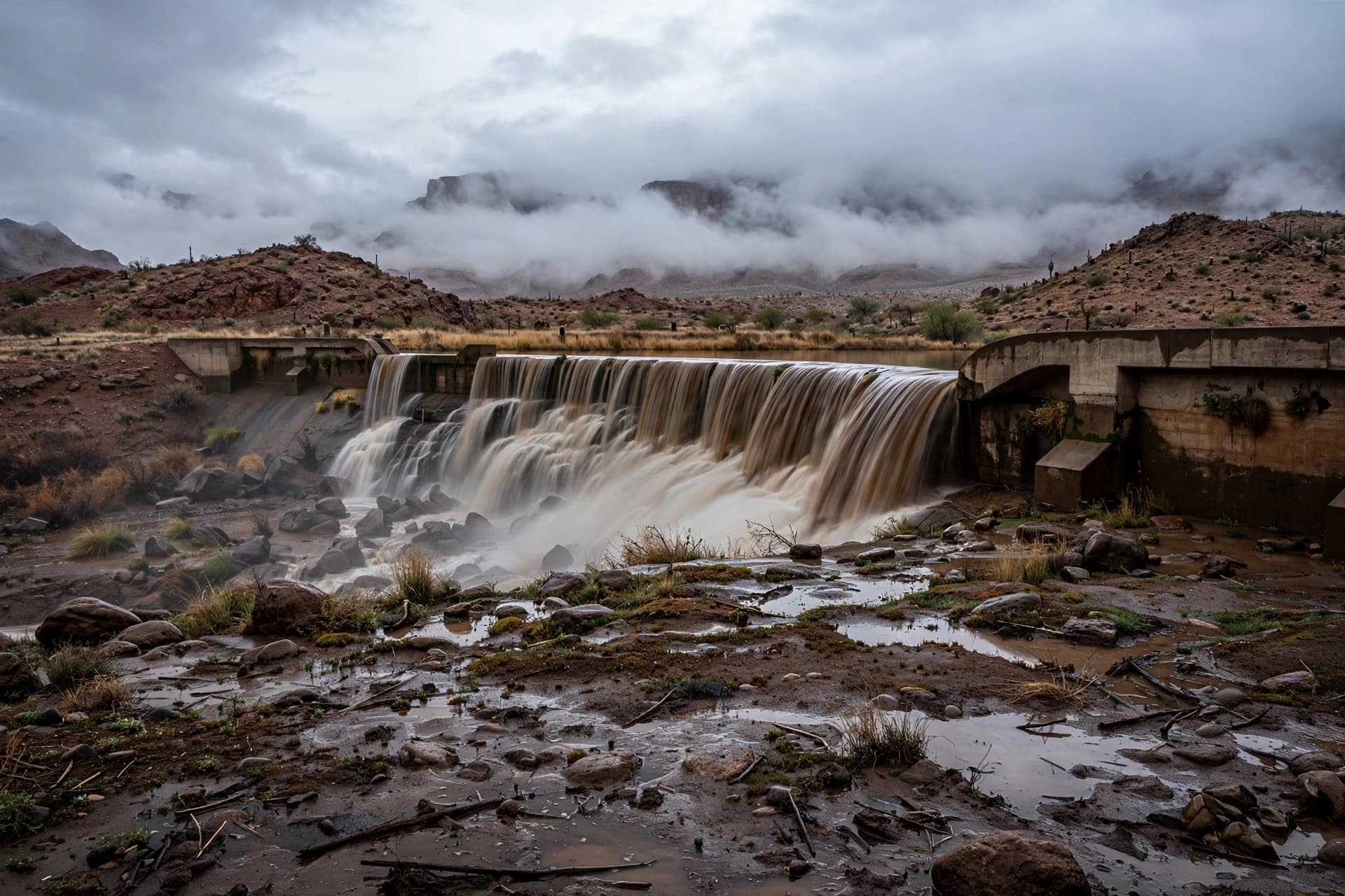
There is a particular kind of silence that settles over a valley when the water behind a dam begins to press too hard. It is not the silence of peace but of waiting—of instruments watched, of gauges read, of a community holding its breath. In Doña Ana County, New Mexico, that silence broke on Tuesday afternoon with a warning few ever expect to hear: the McLeod Dam was on the verge of failing .
The National Weather Service issued a flash flood emergency shortly after 2 p.m. local time, reporting the "imminent failure" of the dam on the McLeod Arroyo . Dam operators and county officials relayed the warning, and residents in the rural corridor between Garfield and Salem were told to evacuate immediately . Water levels in the nearby river had surged by more than 20 feet in under half an hour, placing unprecedented strain on the structure .
The scene was not isolated. Tropical moisture from Hurricane Polo, which made landfall in Mexico earlier in the week, had been streaming northward into the American Southwest, merging with remnants of Hurricane Odalys and a dip in the jet stream to create what meteorologists described as a three-pronged flood threat . Flood watches stretched across more than a dozen states, from Arizona and Colorado to Kansas, Oklahoma, and Texas. AccuWeather's chief meteorologist, Jon Porter, called it potentially "the most dangerous flash flooding risk in the last five years or more" for New Mexico .
In the affected zones, the response was swift but measured. An evacuation center opened at the Radium Springs Community Resource Center, about sixty miles from the danger zone, with the American Red Cross on hand . In Deming, firefighters pushed stalled vehicles from flooded roads. In Laughlin, Nevada, drivers navigated water-covered streets as debris washed across the pavement . Ruidoso issued a voluntary evacuation notice for upper canyon areas, wary of landslides .
The McLeod Dam, also known as the Garfield Dam, is a modest structure serving an agricultural corridor. Its failure would not be a catastrophe of national scale, but for the families between Garfield and Salem—those with livestock, with orchards, with homes passed down through generations—it would be the only scale that matters. Highway 187 and Highway 390, the two arteries through this stretch of desert, sit directly in the path of any sudden release .
Forecasters warned that some areas could receive between four and eight inches of rain, with isolated totals potentially reaching eighteen inches . The ground, long accustomed to aridity, cannot absorb such volumes. Dry arroyos become torrents. Irrigation ditches become rivers. The advice from the National Weather Service was blunt but gentle in its way: "Turn around, don't drown when encountering flooded roads. Most flood deaths occur in vehicles" .
As of Tuesday evening, the dam had not yet breached. Evacuations continued, shelters remained open, and the rain kept falling. For those watching the water rise, the story is still unfolding—a reminder that even in a landscape defined by scarcity, abundance can arrive too quickly.
Image Disclaimer: The visual accompanying this article was generated by artificial intelligence.
Sources: Daily Mail, Yahoo News, CBS4 Local, KRQE, KVIA, Times Now World, Fox Weather, Perfil
Published by Banx Network. This article is part of the Banx decentralized media programme, powered by the BXE token on the XRP Ledger.