There is a particular kind of wonder in thinking about places that have not felt the wind on their hillsides or seen the sun’s warmth for many millions of years. Beneath Antarctica’s vast expanse of white — so still that even distant weather seems hushed — lie ancient valleys and plains that once knew flowing rivers and open skies. These buried landscapes, preserved under ice perhaps 2 kilometers thick, are like pages in Earth’s deep memory book, waiting for someone to learn how to read them.
Scientists have long understood that Antarctica was not always the frozen desert of today. Around 34 million years ago, the continent underwent a dramatic transformation during an Earth‑wide cooling event: lush landscapes gave way to ice, rivers faded, and the world entered a new climatic chapter. In recent years, advances in radar mapping, airborne surveys, and satellite observations have allowed researchers to peer beneath the ice, revealing a terrain that seems almost untouched by the relentless grinding of glaciers.
What they have found are broad plains gently sloping toward ancient seaways, deep valleys etched by rivers that flowed long before ice claimed the land, and upland blocks of terrain now separated by troughs carved by subsequent glacial action. These remnants of a once‑verdant world are preserved because the ice above them has stayed exceptionally cold and moved only slowly, shielding them from the usual erosion that might obliterate their forms.
For many researchers, the discovery feels like opening a time capsule laid down in the late Eocene epoch. In some places, the size and scale of these buried features suggest rivers that must have carried water across broad plains, inviting speculation about forests, wetlands, and ecosystems long lost beneath the continent’s ice. This hidden topography is not merely a curiosity; it offers clues about how ice sheets initiated, how they have responded to climatic shifts in the deep past, and how they might behave as Earth’s climate again changes.
Yet, as with many revelations about our planet’s ancient history, new discoveries also bring questions and debate. Some point to the scientific value of deeper drilling into these landscapes and sampling sediments to better understand past climates and life. Others caution that accessing such pristine archives raises ethical and environmental considerations — just as exploring buried worlds raises questions about the responsibilities that come with unearthing them.
In the quiet world beneath Antarctica’s ice, where rivers once flowed and the Earth was warmer, scientists continue to map, measure, and imagine — listening to an ancient past that still has much to teach us about Earth’s long and changing story.
In straightforward scientific terms, researchers using radar, airborne survey data, and satellite observations have mapped extensive ancient river‑carved landscapes beneath the East Antarctic Ice Sheet that predate the onset of widespread glaciation about 34 million years ago. These preserved landforms provide new insights into the continent’s geological history and may help refine models of ice‑sheet dynamics and future sea‑level responses.
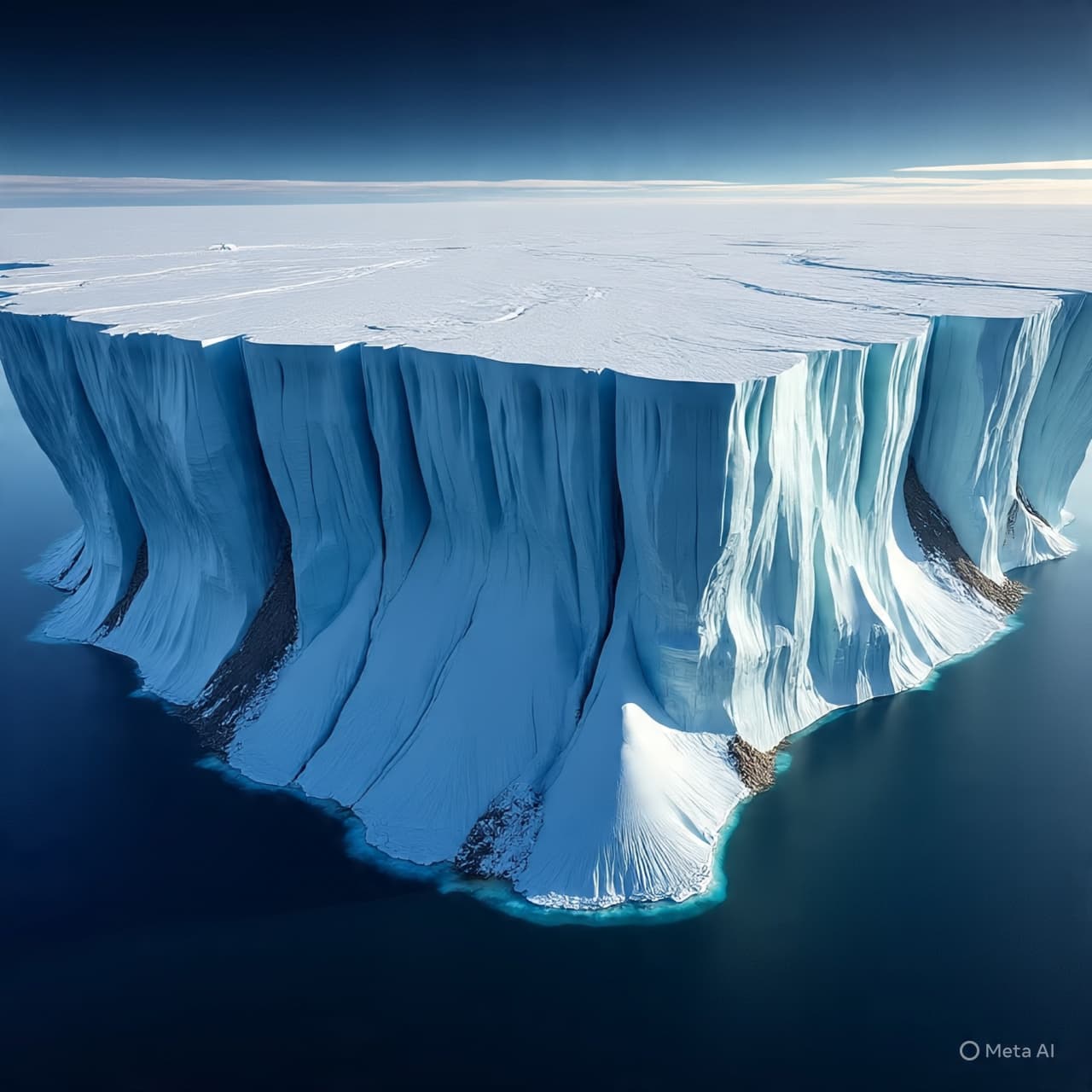
AI Image Disclaimer Images in this article are AI‑generated illustrations, meant for concept only.
Sources Earth.com Sci.News Polar Journal Good Morning America India Today Science Desk
Published by Banx Network. This article is part of the Banx decentralized media programme, powered by the BXE token on the XRP Ledger.