Beneath Turkey’s rugged terrain, where mountains meet plains and seismic activity writes a persistent story, scientists have uncovered a subtle but remarkable phenomenon: the Earth’s crust is “dripping” slowly into the mantle below. This process, long suspected from geophysical hints, is now better understood thanks to detailed seismic imaging and modeling.
The mechanism involves dense, buoyant rock slowly sinking under its own weight, a motion reminiscent of honey thickly flowing under gravity. Over millions of years, sections of the crust stretch, bend, and descend, driven by temperature, pressure, and variations in density. This slow “drip” contributes to mountain formation, seismic activity, and regional geodynamics, influencing how faults move and how the lithosphere behaves under stress.
Advanced imaging techniques, such as seismic tomography, allow researchers to map density variations and trace the paths of sinking rock. These studies reveal that what appears solid and static at the surface is, in fact, in continuous, imperceptible motion far below, a reminder of the dynamic nature of Earth’s interior.
Understanding these processes is more than academic. It improves earthquake risk assessments, informs models of crustal deformation, and enhances our ability to predict volcanic or tectonic behavior. For a country like Turkey, where humans live atop complex fault systems, insight into the slow motions beneath is crucial for long-term planning and resilience.
In practical terms, the Earth’s crust beneath Turkey is slowly sinking into the mantle in a process called “crustal dripping.” Seismic imaging and modeling now allow scientists to understand why this occurs and how it affects regional geology and tectonic activity.
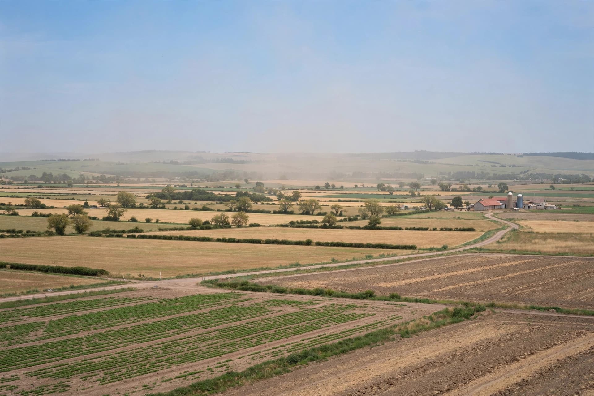
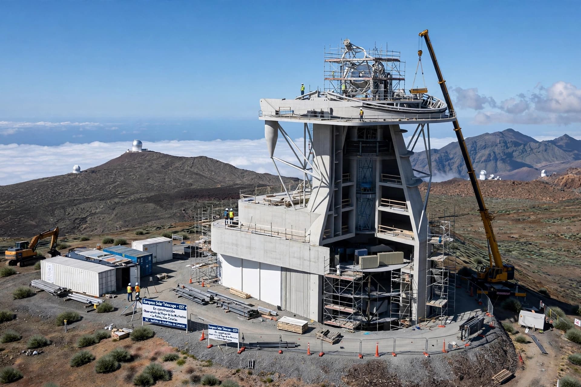
AI Image Disclaimer Illustrations were created using AI tools and are not real photographs.
Sources (names only) Nature Science Scientific American CERN Physics Today
Published by Banx Network. This article is part of the Banx decentralized media programme, powered by the BXE token on the XRP Ledger.