There is a particular kind of imagination that turns a distant, rust-colored globe into a place where someone might one day plant a seed. For decades, that imagination has been fueled by science fiction and engineering ambition, but the practical question has always been simpler and more stubborn: what, exactly, is the ground made of? Now, for the first time, scientists have produced a comprehensive answer.
A PhD student at the University of Sydney has created the first detailed classification system and map of Martian soils, a framework that could help identify promising locations for future exploration, habitation, and even food production. The research, led by Daniel Irving from the Sydney Institute of Agriculture, proposes a new term for Martian soil classes: “areths,” derived from Ares, the Greek name for Mars .
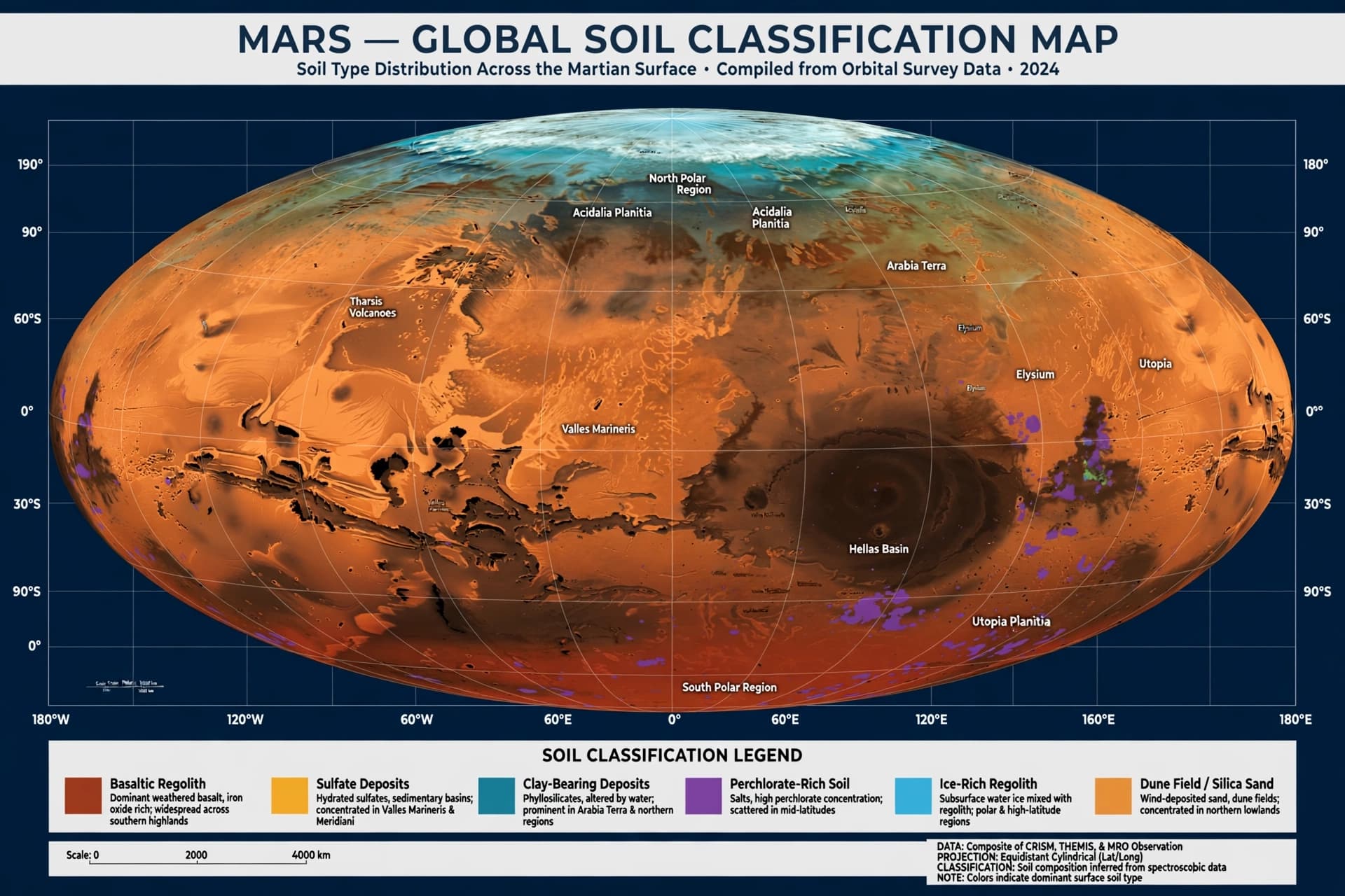
The study, published in the soil science journal Catena, uses orbital observations and models to classify almost 800 million locations across Mars into a hierarchy of 2,000 soil classes. The map covers 92 percent of the Martian surface, bringing together multiple properties—texture, mineralogy, pH, and profile thickness—into a single framework for the first time .
As a proof of concept, the researchers assessed all 2,000 soil classes for characteristics important to plant production, including water-holding capacity, pH, clay content, and gravel content. One class, known as Nohibareth, emerged as the most promising candidate, scoring 0.93 on a zero-to-one grading scale. Its modelled profile includes a pH of 6.8, 72 percent clay, and an estimated water-holding capacity of 202 millimeters per meter. The map places this class particularly in the mid-latitudes of Mars, around Tharsis, central Arabia Terra, and Elysium Planitia .
But the researchers are careful to temper excitement with reality. “This does not mean crops could be grown directly in Martian soil,” Irving emphasized. Future habitats would still require controlled environments, water, nutrients, and treatment of potentially harmful substances. The current map does not include factors such as perchlorate toxicity or nitrogen availability, and many input properties are inferred from orbital data rather than direct measurement .
What the classification offers is a starting point—a way to compare landscapes and prioritize where to look next. “Scientists have mapped Mars’ geology, mineralogy and chemistry before, but our system brings together multiple properties into a single framework,” Irving said. For a planet that has captured human imagination for generations, the map transforms a distant dream into something closer to a plan. The next step is testing on Earth, with Mars-like substrates grown in controlled conditions, before the first greenhouse is ever built .
AI Image Disclaimer: The accompanying visual is AI-generated and does not depict actual Martian soil or the classification map.
Sources: University of Sydney, Mirage News, Catena
Published by Banx Network. This article is part of the Banx decentralized media programme, powered by the BXE token on the XRP Ledger.