There are moments when the Earth moves in ways too vast to fully witness—when energy travels beneath oceans, silent and unseen, carrying with it the potential to reshape coastlines far away. In those early instants, before waves gather height and force, the story of a tsunami begins quietly, almost imperceptibly, beneath the surface.
For much of history, these beginnings have remained largely hidden. By the time a tsunami becomes visible, it has already traveled, already formed, already become something difficult to intercept. Yet, in recent years, a different kind of observation has begun to emerge—one that looks not from the shoreline, but from above.
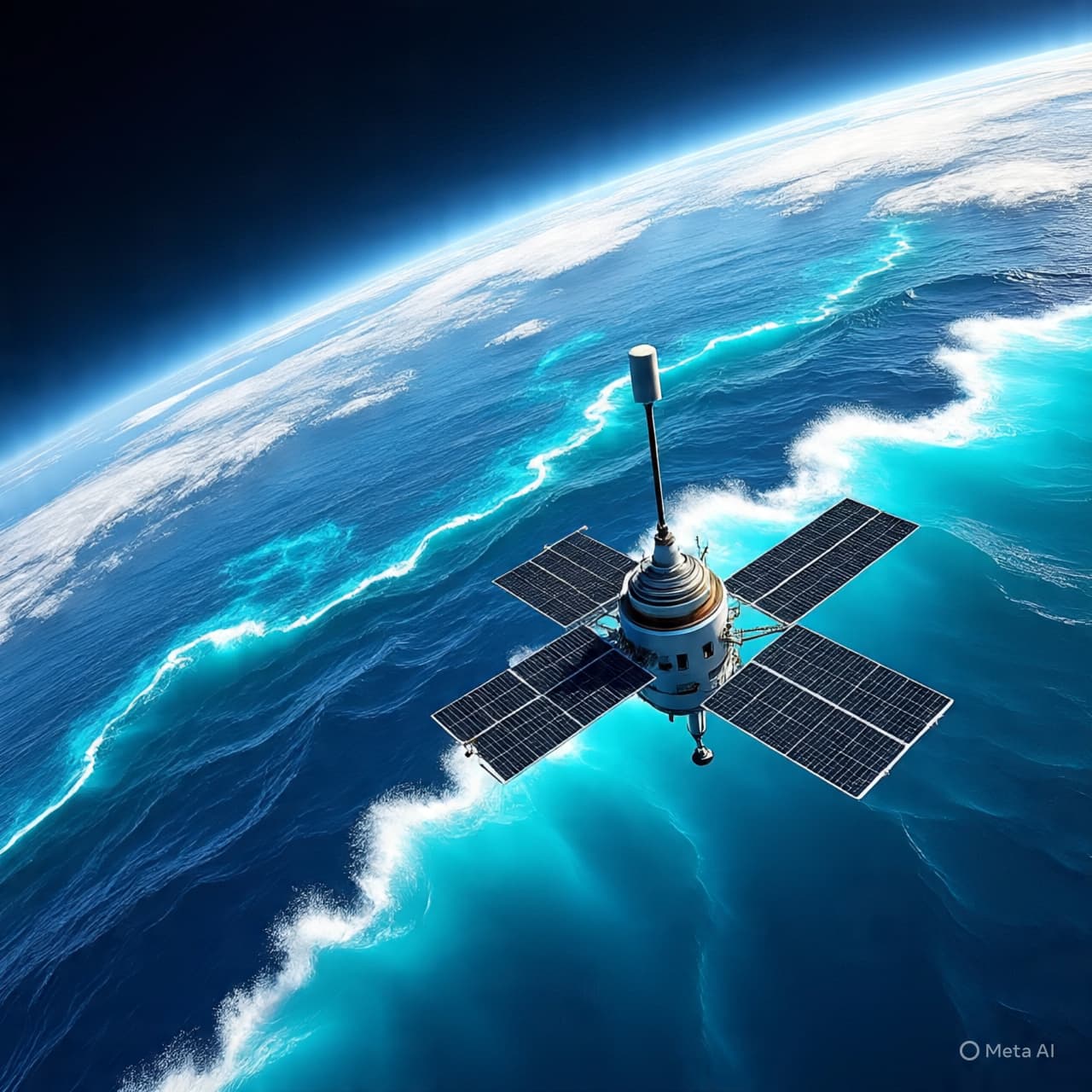
Satellite technology is offering new insight into these early stages, capturing subtle changes in sea surface height and movement that occur shortly after an undersea disturbance. These observations, while delicate in scale, provide valuable clues about how a tsunami forms and propagates. They reveal patterns that were once inferred only through models or detected after the fact.
The significance of this lies not only in observation, but in timing. Early detection has long been a central challenge in tsunami response. Traditional systems rely heavily on seismic data and ocean-based sensors, which, while effective, can sometimes leave gaps in coverage or precision. Satellites, by contrast, offer a broader vantage point, capable of monitoring vast stretches of ocean simultaneously.
Recent studies have demonstrated that satellites can detect the initial wave signals within minutes of their formation. These signals, though small, carry information about the energy and direction of the tsunami. By analyzing this data, researchers are able to refine models, improving both the accuracy and speed of predictions.
There is a certain elegance in this approach. From hundreds of kilometers above the Earth, instruments capture movements measured in centimeters, translating them into meaningful data. It is a reminder that even the largest natural events begin with subtle shifts—ones that, with the right tools, can be observed and understood.
At the same time, the integration of satellite data into early warning systems is still evolving. Challenges remain in ensuring that information can be processed quickly enough to inform real-time decisions. Coordination between space agencies, research institutions, and disaster response networks is essential to translate observation into action.
Nevertheless, the potential is clear. By complementing existing systems, satellite observations can enhance the overall framework of tsunami monitoring. They add another layer of insight, helping to reduce uncertainty and improve preparedness.
There is also a broader implication to consider. As technology advances, our ability to observe the Earth becomes increasingly comprehensive. Events that once unfolded beyond our immediate awareness are now being captured, analyzed, and understood in greater detail. This does not eliminate risk, but it does offer a deeper sense of connection to the processes that shape our planet.
In this context, the study of tsunami formation becomes more than a scientific pursuit. It becomes part of a larger effort to live with the Earth more attentively—to recognize its signals and respond with greater awareness.
In closing, satellite observations are providing new insights into the early stages of tsunamis, enhancing understanding and potentially improving early warning systems, though further integration and development remain ongoing.
AI Image Disclaimer Visuals are created with AI tools and are not real photographs.
Source Check (Credible Media Scan) Here are relevant sources supporting the topic:
Nature Geoscience NASA Earth Observatory European Space Agency (ESA) Science BBC News
Published by Banx Network. This article is part of the Banx decentralized media programme, powered by the BXE token on the XRP Ledger.