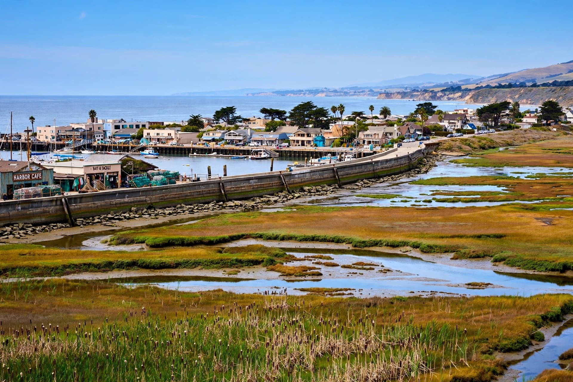
There is a wave moving across the Pacific that no one will see—not from the beach, not from a boat, not from the cliffs of Big Sur. It is not a wall of water or a surging tide, but a pulse of warm ocean energy, thousands of kilometers wide, traveling slowly from the equator toward the coast of North America. When it arrives, it will not crash over the shoreline. It will simply lift the sea, by as much as a foot, and hold it there for months. And California is preparing for what that elevated water will mean for a coastline already under pressure.
The phenomenon is called a planetary-scale Kelvin wave, and it is a normal part of the El Niño cycle. These waves form when the usual east-to-west winds over the equatorial Pacific break down, allowing a vast blob of warm water to slosh back toward the Americas. The wave travels along the equator, then deflects north and south when it reaches the continental shelf. Along the West Coast, it raises sea levels by six to twelve inches—an effect that compounds with high tides, storm surges, and the long-term rise already driven by climate change .
“When they come through, they can raise sea level by 6 to 12 inches,” said Dr. Michael Jacox, a research oceanographer with NOAA. “So then when you have really high tides, you have storm surge, you have these other effects, they’re happening on top of this extra 6 to 12 inches of sea level. This is sort of one ingredient in the recipe that amplifies the risk” .
What makes this year’s Kelvin wave particularly concerning is what it is riding on. The Pacific has been abnormally warm for months, and warm water occupies more volume than cool water—a direct consequence of human-caused climate change. By unlucky coincidence, the tidal cycle off California is peaking in the coming months, with supermoons expected in late November and December that will produce king tides. And El Niño is expected to amplify storm swells through the fall and winter . The result is a convergence of factors that could push water levels higher than any single component would suggest.
Governor Gavin Newsom declared a state of emergency on September 21 to coordinate the response. “We are not waiting for this season’s storms to be on our doorstep,” said Caroline Thomas Jacobs, director of the Governor’s Office of Emergency Services. “By planning early and coordinating resources ahead of El Niño, we are working to ensure communities and first responders have the personnel, equipment, and support they need” .
The state’s preparation extends beyond emergency response. The Ocean Protection Council has approved more than $12.5 million in investments for sea level rise adaptation planning, including grants to San Francisco, American Canyon, Napa County, Santa Barbara, Sonoma, and Goleta. These plans prioritize nature-based solutions—wetland restoration, living shorelines, and hybrid approaches—and include targeted engagement with environmental justice communities, tribal nations, and populations most vulnerable to flooding and displacement .
The Kelvin wave is expected to reach San Diego in early to mid-October and continue north toward the Bay Area and beyond . Scientists emphasize that the wave itself is not a catastrophe. It is a measurable, predictable phenomenon that researchers have understood for 150 years. But it arrives at a moment when the baseline has shifted, when the ocean is already higher than it once was, and when the margin for error has narrowed. “This is one we are able to track better than we have before,” Jacox said. “And we will be on top of watching it come through” .
AI Image Disclaimer: The accompanying images in this report were created with artificial intelligence and are intended for conceptual representation only.
Sources: The New York Times, WeatherNation, The Weather Network, California Ocean Protection Council, World Ocean Observatory
Published by Banx Network. This article is part of the Banx decentralized media programme, powered by the BXE token on the XRP Ledger.