There are scenarios that scientists construct not because they expect them to happen, but because imagining the worst helps us understand what we value and what we might lose. The Yellowstone supervolcano has long occupied this space in the public imagination—a sleeping giant beneath America’s most beloved national park, a force capable of reshaping a continent. This week, two disaster researchers published a step-by-step thought experiment exploring what a worst-case eruption might mean for Denver, and the picture is sobering without being alarmist.
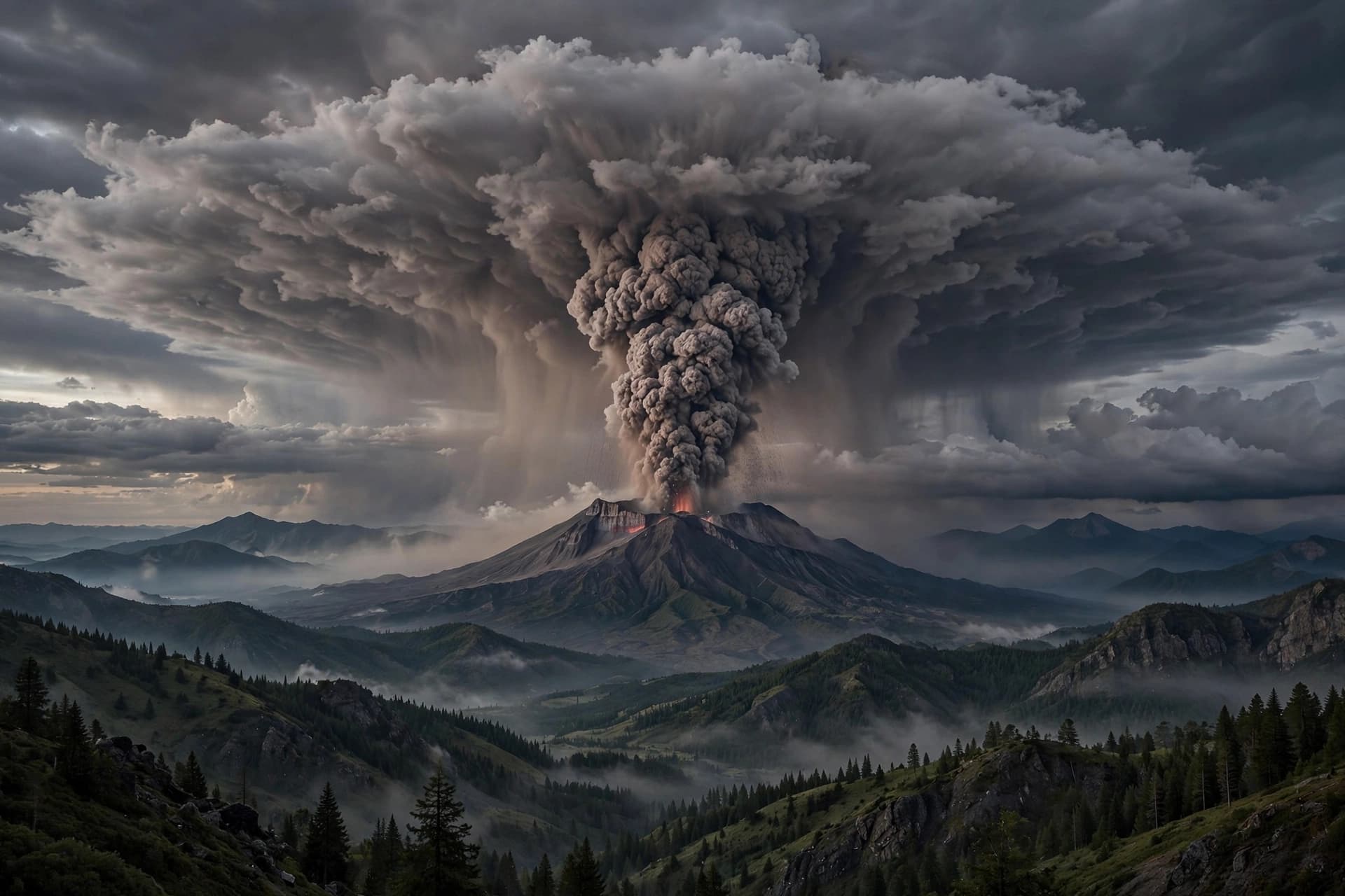
The scenario was outlined by Ilan Kelman, a professor of disasters and health at University College London, and Matthew Blackett, a professor at Coventry University. Their model imagines an eruption column rising 30 to 50 kilometers into the atmosphere, magma temperatures of 650 to 800 degrees Celsius, and a Volcanic Explosivity Index rating of 8—the highest category. In their hypothetical timeline, earthquake swarms and caldera uplift precede the eruption, and FEMA plans a large-scale evacuation of roughly 200,000 residents within 100 kilometers of the park.
For Denver, the primary threat would come not from lava or pyroclastic flows, but from ash. According to modeling by the U.S. Geological Survey using the Ash3D transport model, a supereruption releasing 330 cubic kilometers of ash would deposit an average of about 98 millimeters—nearly four inches—on Denver. That number places the city right at the threshold where agricultural damage becomes severe; crops and pasture are often severely impaired once ash reaches 100 to 150 millimeters.
The consequences would extend far beyond agriculture. Even a thin layer of wet volcanic ash can conduct electricity, triggering short-circuit flashovers on high-voltage power lines with as little as three to five millimeters of accumulation. At the levels modeled for Denver, ash loading could damage weak structures and utility equipment, while water systems would face the challenge of keeping grit out of pumps, screens, and treatment facilities. Major airports from Salt Lake City to Chicago could close, disrupting aviation across the region.
A separate analysis from the Denver hazard mitigation plan notes that volcanic ash deposits in the Denver area from a remote eruption would likely be less than five centimeters thick, representing a minimal hazard compared to areas closer to the source. The plan identifies the Jemez Mountains in northern New Mexico as the most likely source of explosive eruption near Denver, but emphasizes that the probability of such activity is very low based on historical data.
The researchers behind the Yellowstone scenario are explicit that it is not a forecast. The U.S. Geological Survey estimates the probability of a caldera-forming supereruption in any given year at approximately 1 in 730,000, or about 0.00014 percent. Geophysical imaging indicates the Yellowstone magmatic system is less than 10 percent melt, and the volcano has not produced a supereruption in roughly 640,000 years.
What the thought experiment ultimately offers is not a prediction but a lens. It asks what infrastructure matters, what preparations are possible, and what it means to live near a force that operates on geological timescales. The answer, for now, is that Denver would face serious challenges from ashfall—disrupted transportation, power grid vulnerabilities, agricultural losses—but not annihilation. The supervolcano is not waking up. The value of imagining it, however, may lie in what such imagining teaches us about resilience.
AI Image Disclaimer: All visuals included with this report are AI-generated and are illustrative in nature.
Sources: NewsNation, Hoodline, WorldAtlas, Denver Hazard Mitigation Plan, The Conversation
Published by Banx Network. This article is part of the Banx decentralized media programme, powered by the BXE token on the XRP Ledger.