There is a specific, restless energy to the west coast of the North Island, a place where the Tasman Sea meets the land with a power that is both creative and destructive. Along the shores of Taranaki and the North Hokianga, the boundary between the earth and the water is never a fixed line; it is a living, shifting frontier that is constantly being renegotiated by the wind and the tide. We often build our homes and our lives as if the coast were a permanent foundation, yet the sand tells a different story—one of erosion, deposition, and the inevitable movement of the landscape.
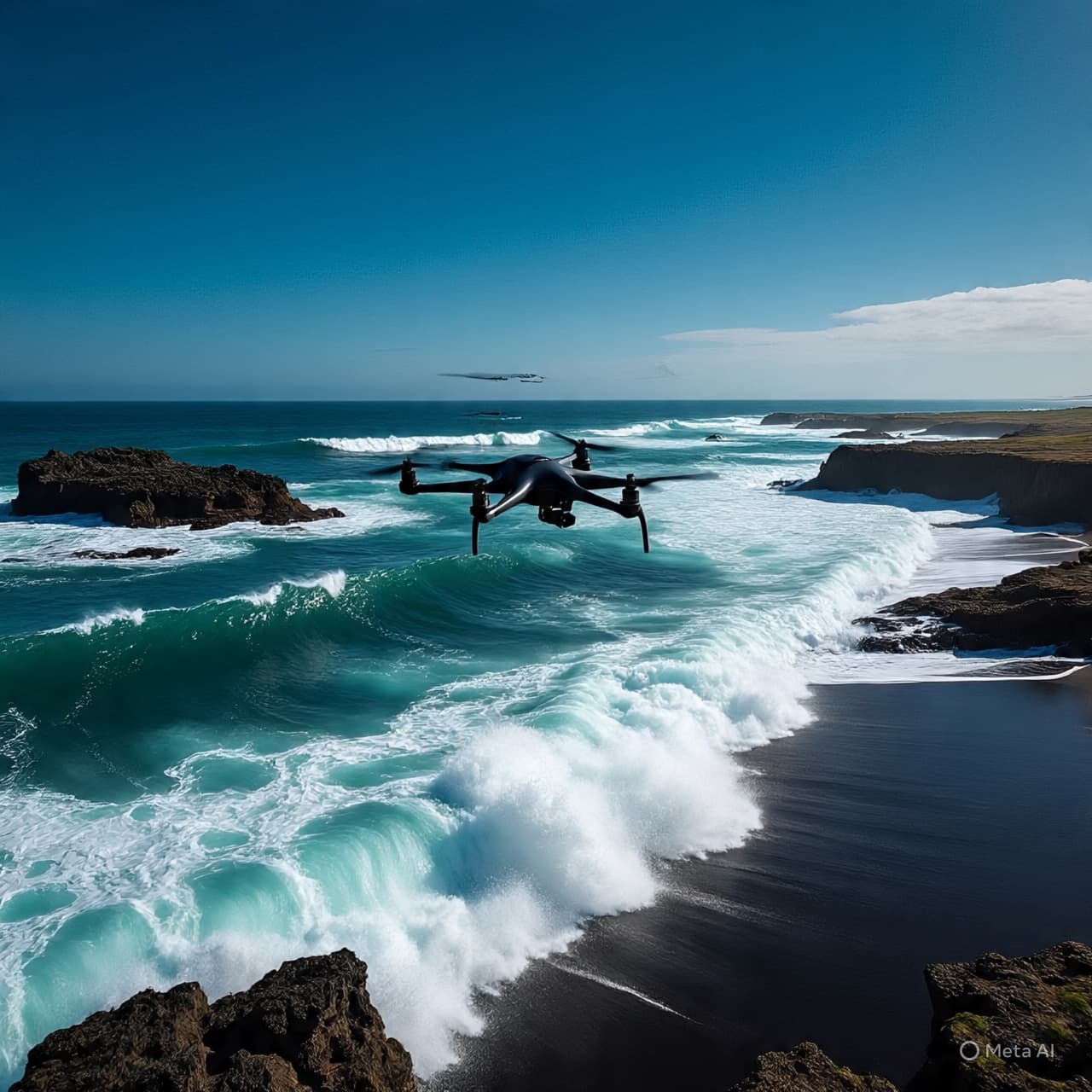
In the field stations of GNS Science, researchers are using the latest technology to map these changes with an unprecedented level of detail. By employing LiDAR and UAV surveys, they are capturing the minute shifts in the dunes and the slow retreat of the cliffs. They are finding that the "coastal change" we speak of in the abstract is a very real and immediate process, shaped by the rising of the sea and the changing patterns of the storms. It is a work of geomorphological archaeology, studying the present to predict a future where our urban environments must adapt to a more mobile shore.
To stand on the black sands of a Taranaki beach is to be in a "gold factory" of a different kind—one of sediment and stone. The estuaries are the great filters of the coast, places where the carbon of the land is trapped and stored in the silty depths. As the sea levels rise, these delicate systems are being pushed inland, forcing a reorganization of the life that dwells within them. We are witnessing a slow-motion migration of the environment, a transition that requires us to reconsider how we plan our cities and how we protect our infrastructure.
There is a profound humility in the act of watching a coastline change. It reminds us that we are not the masters of the landscape, but its temporary inhabitants. The movement of the sand is an indifferent force, unconcerned with the boundaries of our properties or the placement of our roads. Our role is to be the observers and the adapters, learning to live with the flow of the water rather than trying to build walls against it. The research in the Hokianga is a dialogue with the local communities, a way of sharing the data so that we can plan for a future that is as dynamic as the sea itself.
As we look toward the next several decades, the focus remains on the "equilibrium response" of our climate system. We are seeking to understand how the melting of distant ice and the warming of the southern oceans will manifest in the local currents of our bays. Each sediment core analyzed and each drone flight completed adds a new piece to a complex puzzle of resilience. We are building a map of a changing world, one where the only constant is the persistence of the waves and the steady, quiet transformation of the earth beneath our feet.
The work of our scientists is a testament to the value of long-term observation. By looking back at the last 11,000 years of the Holocene, we can see the patterns of the past and use them to inform the decisions of the present. The Taranaki coast is a laboratory of the primary elements, a place where we can see the direct impact of a changing climate on our most immediate surroundings. It is a call to a more symbiotic relationship with the edge of the world, recognizing that the sea is not an enemy to be fought, but a partner in a never-ending cycle of change and renewal.
GNS Science has launched a comprehensive monitoring program focusing on coastal geomorphology and inundation risks in North Taranaki and the Hokianga Harbor. Utilizing advanced LiDAR and UAV technology, the "Our Changing Coast" initiative is mapping sediment transport and saltwater intrusion into groundwater systems to better project the impact on urban environments. Initial findings suggest that rising sea levels are accelerating the inland migration of estuary systems, which could significantly alter local biodiversity and carbon storage capacities. The program emphasizes community and iwi engagement to develop long-term adaptation strategies for these highly dynamic coastal zones.
AI Disclaimer “Visuals are AI-generated and serve as conceptual representations.”
Published by Banx Network. This article is part of the Banx decentralized media programme, powered by the BXE token on the XRP Ledger.