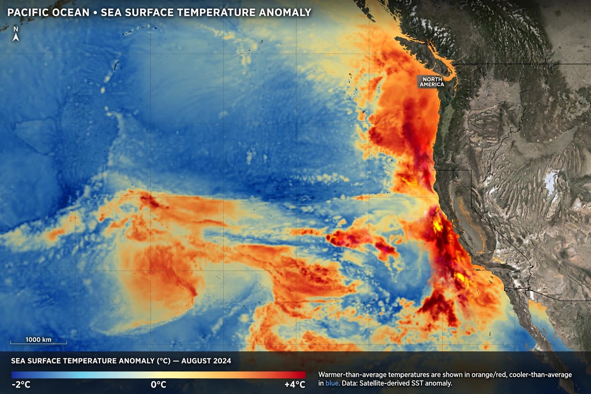
There is a particular kind of weather that arrives not as a single storm but as a pattern—a shift in the jet stream, a warming of distant waters, a rearrangement of the odds that governs what falls from the sky. This winter, that pattern is being written by an El Niño that forecasters describe as one for the record books, and its script points directly at the West Coast.
NOAA's winter outlook, released in mid-October, projects a classic El Niño signature for December 2026 through February 2027: warmer-than-average temperatures across the northern tier of the United States and wetter-than-average conditions across the southern tier, from California to Florida, and along the Eastern Seaboard . For California, the implications are significant. The state has a 70 to 100 percent chance of experiencing above-average rainfall along its coast, according to modeling from the European Centre for Medium-Range Weather Forecasts .
The mechanism is the jet stream. During a strong El Niño, the band of fast-moving winds that steers storms across the continent shifts southward and eastward, directing atmospheric rivers and Pacific storms toward California and the southern states. NOAA estimated an 83 percent chance that this El Niño will surpass the strength of every event in its historical record dating back to 1950 during the October-to-December period . AccuWeather's forecasters expect repeated bouts of heavy mountain snow in the Sierra Nevada, with several atmospheric rivers arriving in the middle and latter parts of the season .
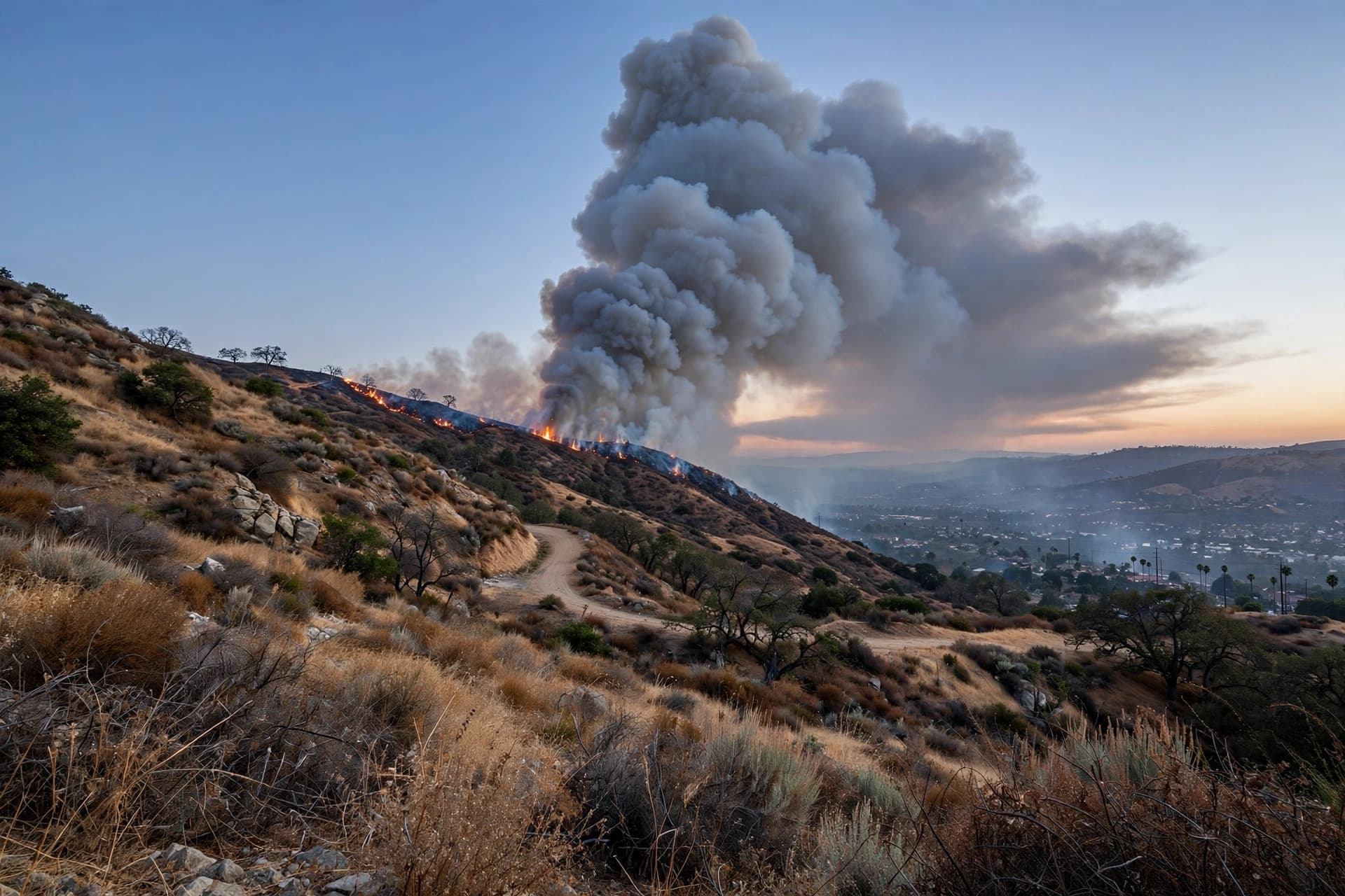
But the same pattern that brings drought relief carries the risk of excess. "While higher chances of rain and snow may bring relief to drought-afflicted areas, too much precipitation on dry soil can fuel destructive flash floods and mudslides," said Ken Graham, director of NOAA's National Weather Service . California's history with strong El Niño events is instructive: the 1982-83 system destroyed 33 oceanfront homes and damaged 3,000 others; the 1997-98 event brought massive flooding and 17 storm-related deaths; and the 2015-16 winter produced record coastal erosion .
The outlook is not uniform. Northern California and the Pacific Northwest are favored for warmer-than-average temperatures, while the southern part of the state leans wetter. Drought conditions are expected to improve or end in the Southwest and Southern Great Plains, but could develop or worsen in the northern Rockies and eastern Washington . The Colorado River basin and other reservoirs at historic lows may see relief, but as one scientist noted, "It would have to be exceptionally wet"—and that would mean flooding and its accompanying destruction .
Governor Gavin Newsom declared a state of emergency ahead of the El Niño season, a preemptive measure to help with early statewide preparations for potential winter storms, flooding, and landslides . The declaration reflects a lesson learned from past events: in a super El Niño, preparation matters as much as prediction.
What the models cannot say is what any given week will bring. El Niño tilts the odds; it does not guarantee outcomes. The storms may arrive as forecasters expect, or they may not. The snowpack may build or melt. The reservoirs may fill or remain low. What is certain is that the Pacific is warmer than it has been in decades, and the atmosphere is responding. The West Coast is about to find out what that means.
AI Image Disclaimer: This article includes AI-generated imagery created for illustrative purposes only.
Sources: NOAA, UPI, Gizmodo, PreventionWeb (citing The Guardian), Outside Magazine, Water Education Foundation
Published by Banx Network. This article is part of the Banx decentralized media programme, powered by the BXE token on the XRP Ledger.