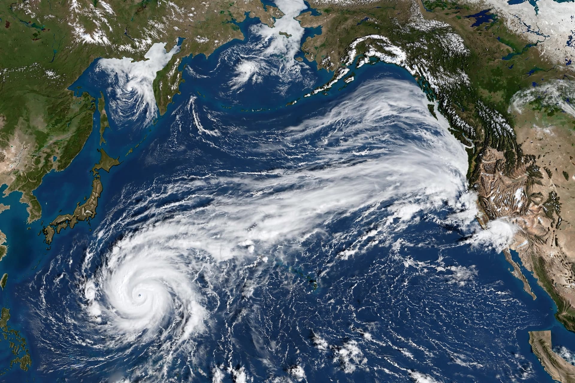
There is a particular interconnectedness to the world's weather—a way in which a storm forming thousands of kilometers away can, days later, alter the temperature of a morning in Ottawa or the frost risk on the Prairies. This week, that interconnectedness is on full display as Typhoon Choi Wan, a powerful storm in the western Pacific, curves northward and injects itself into the jet stream. The result is a continent divided: warmth settling over the West, chill descending on the East, and a pattern that will hold through the middle of the week .
The mechanism is well understood by meteorologists, though it retains a kind of quiet wonder. Typhoons that recurve out of the western Pacific often race toward the Arctic Circle and disrupt the jet stream—the fast-moving ribbon of air that steers weather systems across North America. When a typhoon is absorbed into this flow, it acts like a stone thrown into a stream, creating ripples that carry thousands of kilometers downstream . The result is a phenomenon known as "troughing" in the East and "ridging" in the West: the jet stream dips south over eastern Canada, pulling cold air down from the north, while it bulges north over the western provinces, allowing warm air to flow upward.
For western Canada, the effect is a welcome extension of what has already been a mild autumn. A ridge of high pressure will strengthen and spread across British Columbia and the Prairies through the weekend, bringing dry conditions and temperatures well above normal. Southwestern Canada's typical daytime highs for early October range in the mid-teens Celsius. This weekend, a large region will likely tip into the low- to mid-20s. Edmonton is forecast to reach 19°C on Monday, Saskatoon 21°C, and parts of southern Alberta and southwestern Saskatchewan could see 26°C or warmer . The warmth comes with a reduced frost threat, as overnight lows are expected to remain moderate—a small mercy for gardeners and farmers alike. The dry conditions are also welcome news for the southern Prairies, where the fall harvest is less than 60 percent complete, behind the typical pace of more than 80 percent at this time of year .
For eastern Canada, the story is the opposite. A cold front bringing rainfall across Ontario and Quebec is opening what forecasters describe as "the floodgates of chilly air." A northwesterly flow behind the front will drop temperatures 5°C to 10°C below seasonal through Monday and Tuesday. Ottawa is forecast to sit at a high of just 11°C on Monday—its coldest daytime high since May 13. Widespread freeze and frost conditions are expected through early next week, prompting warnings for people to protect cold-sensitive plants, trees, and crops .
The timing of this pattern is not unusual for October, a month that often brings sharp transitions in Canadian weather. What makes this particular event notable is the clarity of its cause: a single typhoon, far out in the Pacific, leaving its fingerprint on a continent's weather. The warmth will not last indefinitely; cooler air is likely to return to the West by the end of the week, and the East will eventually moderate. But for now, the flip-flop holds—a reminder that in the atmosphere, as in so much else, nothing happens in isolation.
AI Image Disclaimer: The images accompanying this article were generated by artificial intelligence and are for illustrative purposes only.
Sources: The Weather Network
Published by Banx Network. This article is part of the Banx decentralized media programme, powered by the BXE token on the XRP Ledger.