Sand is often perceived as a uniform backdrop to our coastal vacations or desert expeditions, a granular constant that shifts with the wind. Yet, beneath this apparent simplicity lies a complex and dynamic global system. A researcher has recently undertaken the ambitious task of mapping every sand dune on Earth, revealing that these formations are not merely static piles of sediment but active participants in the planet’s ecological and climatic machinery. This comprehensive map offers a new perspective on the scale and significance of one of Earth’s most common yet overlooked features.
The project, led by geomorphologist Dr. Matthew Ewing and colleagues, utilized high-resolution satellite imagery and advanced machine learning algorithms to identify and classify dune fields across the globe. The resulting map details the location, size, and shape of dunes from the Sahara to the Arctic, providing a dataset that was previously fragmented and incomplete. This holistic view allows scientists to study dunes not as isolated phenomena but as part of a connected global network.
One of the most striking findings is the sheer extent of dune coverage. While deserts are the obvious hosts, the map reveals significant dune systems in coastal regions, riverbeds, and even polar areas. These formations play a crucial role in stabilizing soil, preventing erosion, and supporting unique ecosystems. By understanding their distribution, researchers can better predict how these landscapes will respond to climate change and human activity.
The map also highlights the diversity of dune types, from crescent-shaped barchans to star-shaped pyramids. Each shape tells a story about wind patterns, sediment supply, and vegetation cover. For instance, the presence of certain dune types can indicate changes in prevailing winds over decades, offering clues about past and future atmospheric conditions. This information is vital for climate modeling and environmental planning.
Beyond scientific interest, the map has practical applications for infrastructure development and hazard mitigation. Dunes can bury roads, pipelines, and settlements if not properly managed. By knowing exactly where dunes are located and how they move, engineers and planners can design more resilient structures and implement effective conservation strategies. It transforms dunes from obstacles into manageable elements of the landscape.
The creation of this global atlas required overcoming significant technical challenges. Differentiating sand from rock, snow, and vegetation in satellite images is difficult, especially in remote areas. The use of artificial intelligence helped automate this process, allowing for the analysis of vast amounts of data with unprecedented accuracy. This technological leap demonstrates the power of combining geoscience with computer science.
For the general public, the map serves as a reminder of the Earth’s intricate beauty. It invites us to look closer at the ground beneath our feet and appreciate the forces that shape it. Sand dunes are not just empty spaces; they are living landscapes that breathe with the wind and shift with time.
The global map of Earth’s sand dunes is a testament to the power of detailed observation and technological innovation. It provides a foundational tool for understanding our planet’s surface, offering insights that will benefit science, society, and the environment for years to come.
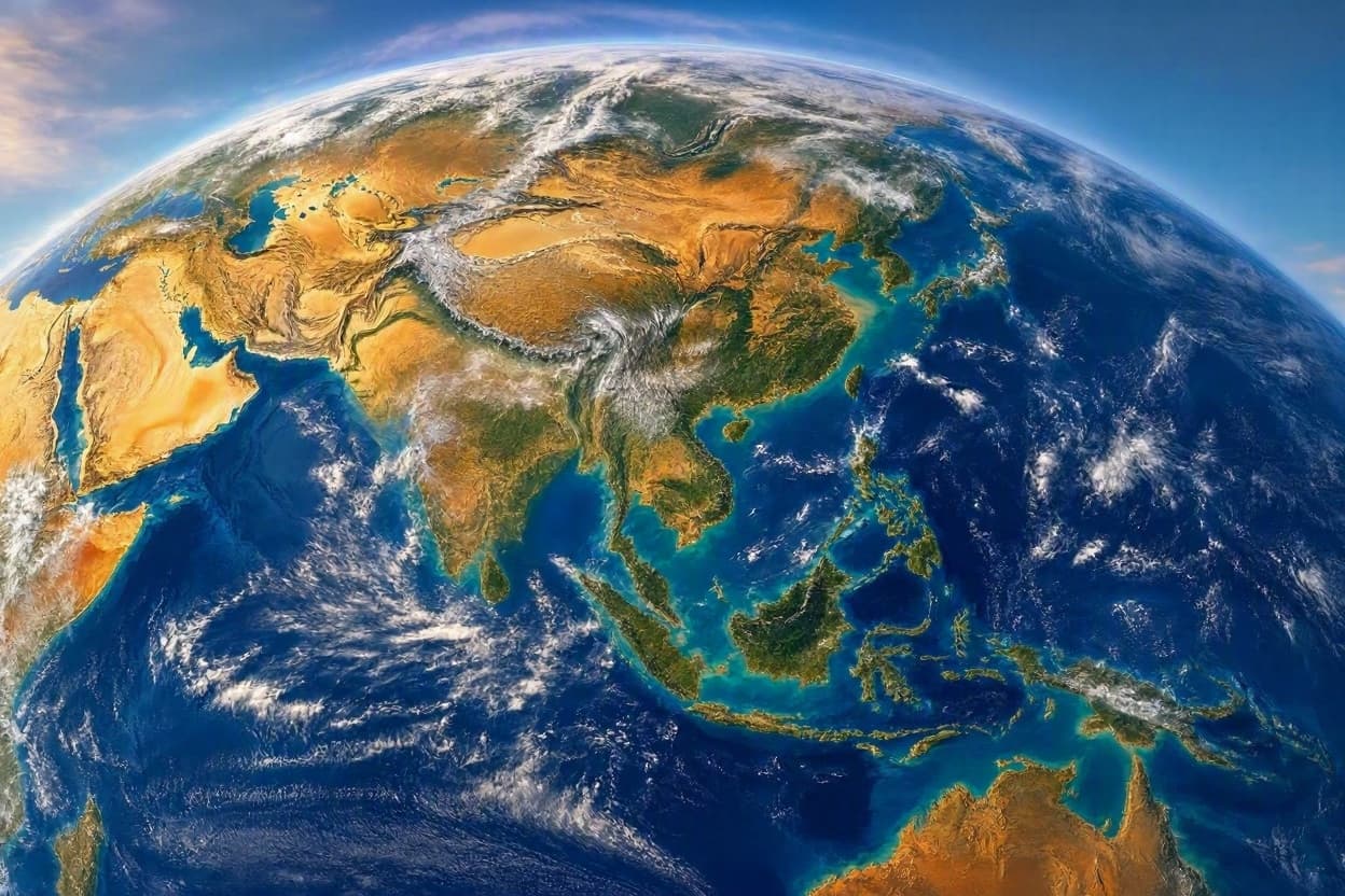
AI Image Disclaimer: Please note that any accompanying illustrations for this piece are AI-generated representations intended to evoke the mood of the described events.
Sources: Nature Geoscience, NASA Earth Observatory, Smithsonian Magazine, University of Colorado Boulder
Published by Banx Network. This article is part of the Banx decentralized media programme, powered by the BXE token on the XRP Ledger.