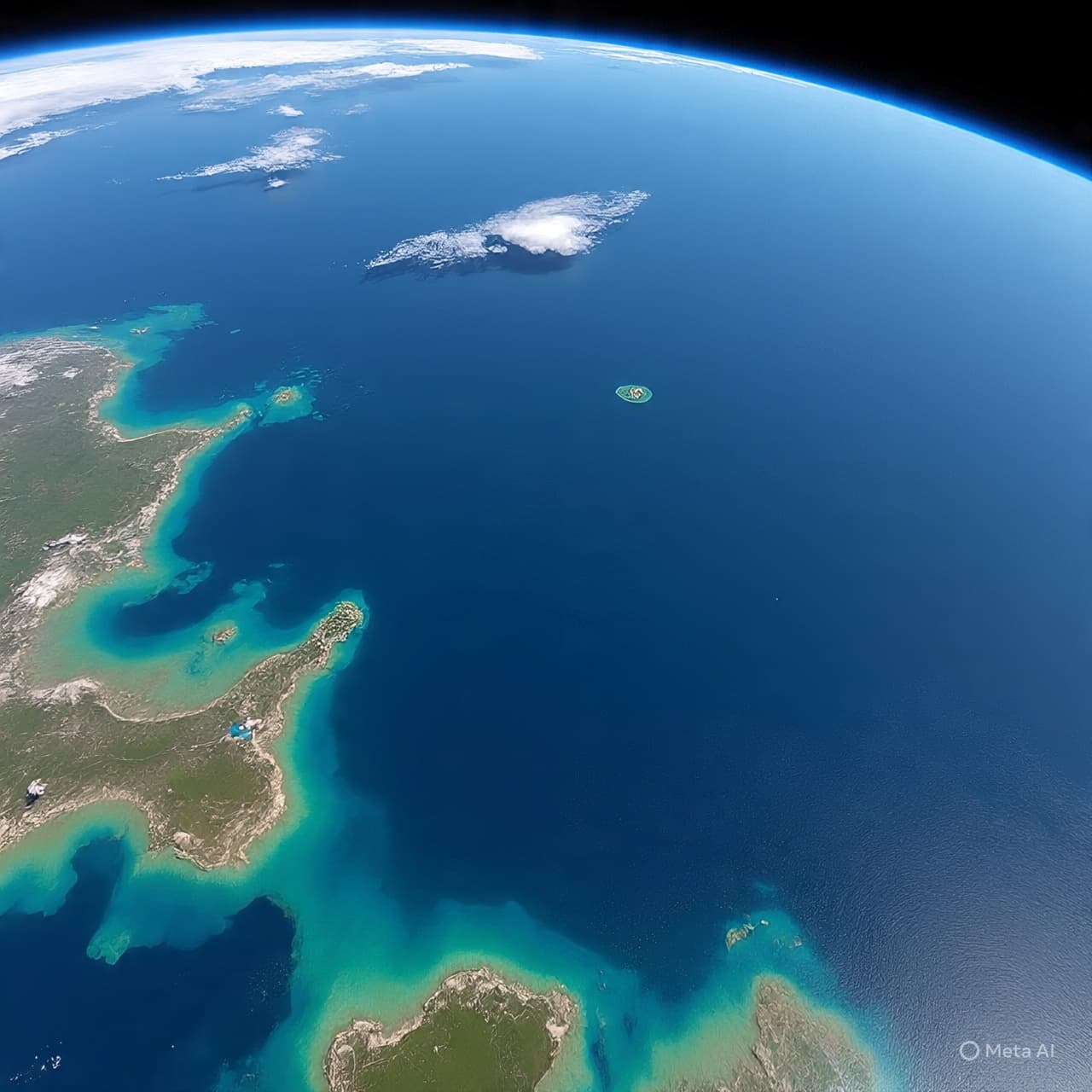
There are maps we draw to understand the world, and then there are maps that remind us how much remains unseen. The ocean floor—vast, silent, and largely hidden beneath miles of water—has long resisted complete understanding. Even as satellites circle above and ships trace the surface below, much of this underwater landscape has remained a suggestion rather than a certainty, its contours inferred rather than directly observed.
In a quiet shift of perspective, scientists working with NASA, alongside partners including NOAA, have begun to refine this picture—not from the depths, but from space. Using satellite measurements of sea surface height, researchers can detect subtle gravitational variations caused by underwater features. In this way, the ocean’s surface becomes a kind of mirror, gently reflecting the structures that lie far below.
Through this method, scientists have created increasingly detailed maps of the seafloor, revealing formations that were once difficult to trace. Ridges, valleys, and fracture zones emerge not through direct observation, but through careful interpretation of data—small shifts in water height that correspond to mass beneath the surface. It is a form of observation that feels almost indirect, yet proves remarkably effective.
What has drawn particular attention in recent findings is the identification of previously uncharted features—structures that suggest more complexity in the ocean floor than earlier models indicated. These may include hidden seamounts, elongated ridges, or tectonic patterns that refine our understanding of how Earth’s crust behaves beneath the oceans. While the discoveries are not abrupt revelations, they carry significance in how they adjust the broader picture.
The implications extend beyond mapping itself. The shape of the seafloor influences ocean currents, marine ecosystems, and even climate patterns. By improving the resolution of these maps, scientists can better model how water moves across the planet, how heat is distributed, and how biological systems interact with their environment.
There is also a certain elegance in the method. Rather than descending into the depths, researchers read the surface—interpreting signals that travel upward, subtle but persistent. It reflects a broader principle in science: that understanding often comes not from direct access, but from careful observation of indirect evidence.
Findings discussed in sources such as Nature Geoscience suggest that these satellite-based techniques will continue to improve, offering finer detail and greater coverage over time. As more data is collected, the maps will become more complete, though perhaps never entirely finished.
The work proceeds steadily, without urgency, guided by refinement rather than sudden change. Each new detail adds to a growing understanding of a part of the Earth that has long remained out of reach.
As research continues, updated seafloor maps are expected to support studies in oceanography, geology, and climate science. Scientists will integrate these findings into broader models, using them to improve predictions and deepen knowledge of Earth’s dynamic systems.
AI Image Disclaimer Visuals are created with AI tools and are not real photographs.
Source Check (Credible Media Outlets):
NASA NOAA Nature Geoscience Reuters BBC Science
Published by Banx Network. This article is part of the Banx decentralized media programme, powered by the BXE token on the XRP Ledger.