There is a quiet tension in the vastness of the ocean, a sense that beneath its calm surface, forces are always gathering, shifting, waiting. From above, the sea often appears unchanged—an endless blue expanse that carries little hint of what may be forming below. Yet, in recent years, scientists have begun to look at this surface differently, not as a boundary, but as a canvas where even the faintest signals can reveal the beginnings of something far more powerful.
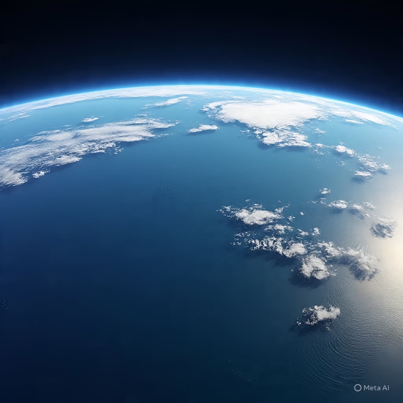
Through satellites orbiting high above Earth, researchers are now able to observe the subtle movements of the ocean with remarkable precision. These instruments do not see waves as we do from the shore. Instead, they measure slight changes in sea surface height, capturing variations so small they might otherwise go unnoticed. Within these delicate shifts lies the early story of tsunamis—how they begin, how they travel, and how they transform as they move across entire ocean basins.
Traditionally, understanding tsunami formation has relied heavily on seismic data and coastal sensors. Earthquakes beneath the ocean floor provide the first indication that a tsunami may occur, while buoys and tide gauges track waves as they approach land. While effective, these methods offer only part of the picture. Satellite observations add a new dimension, allowing scientists to follow the wave across open water, where direct measurements are sparse.
Recent research has shown that satellites can detect the long, low waves generated by underwater disturbances, even when they are only a few centimeters high in the open ocean. Though nearly imperceptible to the human eye, these waves carry immense energy. By tracking their movement from space, scientists can better understand how tsunamis propagate, how their speed changes with ocean depth, and how their energy is distributed.
This perspective offers more than observation—it offers the possibility of refinement. With improved data, models used to predict tsunami behavior can become more accurate, potentially enhancing early warning systems. The goal is not only to detect a tsunami, but to understand its likely path and impact with greater clarity, giving communities more time to prepare and respond.
There is also a sense of integration in this approach. Satellite data does not replace existing systems but complements them, weaving together information from multiple sources into a more complete understanding. Seismic readings, ocean buoys, and satellite measurements each contribute a piece of the narrative, forming a network that reflects both the complexity and the scale of the phenomenon.
At the same time, challenges remain. Satellites pass over specific regions at intervals, meaning continuous observation is not always possible. Interpreting the data requires careful analysis, distinguishing tsunami signals from other ocean movements such as tides and currents. Yet, with advances in technology and data processing, these limitations are gradually being addressed.
What emerges from this work is a quieter, more nuanced view of the ocean—one in which even the smallest surface change can carry meaning. The sea, once seen primarily from its edges, is now being read from above, its patterns traced with increasing precision.
In recent studies, scientists have continued to refine the use of satellite altimetry to observe tsunami formation and propagation. While the technology is still being developed and integrated into broader warning systems, early results suggest it can provide valuable insights into wave dynamics across vast distances. Researchers note that combining satellite data with existing monitoring tools may enhance future efforts to better understand and respond to tsunami events.
AI Image Disclaimer Visuals are created with AI tools and are not real photographs.
Sources BBC NASA Nature Science Magazine The Guardian
Published by Banx Network. This article is part of the Banx decentralized media programme, powered by the BXE token on the XRP Ledger.