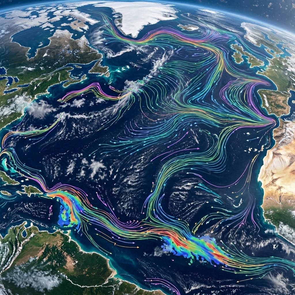
The ocean has long resembled a vast manuscript whose finest lines remained unread, even as satellites traced its surface from far above. Beneath those familiar blue horizons, countless currents have continued their quiet work, carrying heat, nutrients, and energy across the planet. Advances in scientific observation are now allowing researchers to glimpse this hidden world with greater clarity than ever before.
Scientists have introduced an artificial intelligence system called GOFLOW that reconstructs detailed ocean current patterns directly from satellite imagery. Developed through an international collaboration led by researchers at Tel Aviv University, the technology provides a new way to observe small-scale ocean movements that were previously difficult to detect.
Covering more than 70 percent of Earth's surface, the oceans play a central role in regulating Earth's climate. Major currents transport heat across continents, while much smaller features influence how the ocean exchanges heat and gases with the atmosphere. These finer processes have remained challenging to measure using conventional satellite techniques alone.
GOFLOW analyzes sequences of infrared satellite images that capture sea surface temperatures and uses artificial intelligence to estimate the movement of ocean waters. Rather than relying solely on simplified physical models, the system identifies subtle flow structures that reveal previously unseen patterns beneath the surface.
During testing, researchers examined the Gulf Stream and identified dynamic features occurring on scales smaller than 30 kilometers. These include sharp temperature boundaries, converging currents, and vertical water movement that influence ocean mixing and the transfer of heat and carbon between the sea and the atmosphere.
The technology also provides the first direct satellite-based estimates of horizontal ocean divergence, an important indicator of vertical water movement. Until now, scientists largely depended on computer simulations and limited field observations to study these processes.
Improved observations may help researchers strengthen climate models, better understand marine ecosystems, and monitor changes related to weather, marine heatwaves, and carbon cycling. As satellite technology and artificial intelligence continue to evolve together, they offer scientists an increasingly detailed picture of one of Earth's most influential natural systems.
The study represents another step toward understanding the ocean not simply as a vast body of water, but as a living network whose subtle movements shape weather, climate, and life around the globe. By making once-hidden currents visible, researchers hope to deepen scientific knowledge and support more informed environmental research in the years ahead.
AI Image Disclaimer: The accompanying illustrations are AI-generated visual interpretations created for storytelling purposes and are not actual photographs from the research.
Sources (verified):
Nature Geoscience Tel Aviv University Mirage News
Published by Banx Network. This article is part of the Banx decentralized media programme, powered by the BXE token on the XRP Ledger.