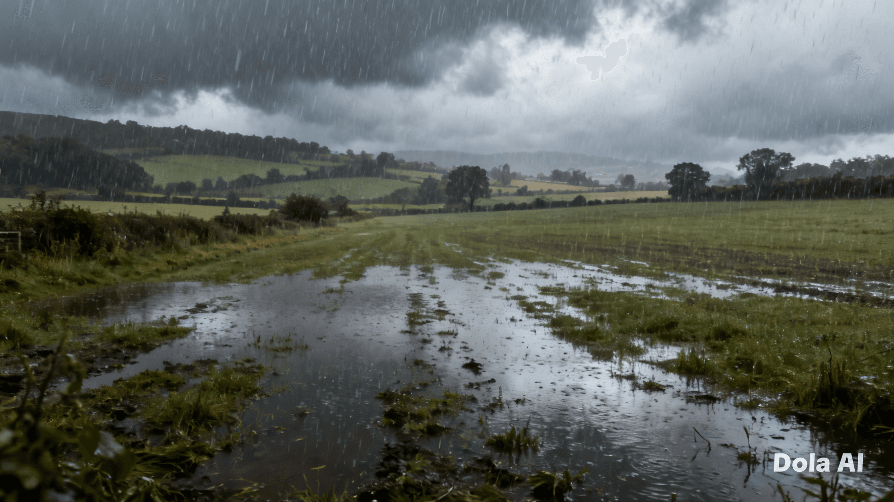
Winter often arrives like a quiet guest, settling across the landscape with pale light and softened sound. Yet some seasons announce themselves differently — not with stillness, but with the persistent rhythm of rain on rooftops, windows, and roads. This year, across much of the United Kingdom, the season has unfolded under a steady chorus of falling water, prompting early analysis of just how wet the winter has become.
Preliminary figures suggest rainfall totals in many regions have exceeded seasonal averages. Western areas, including parts of Wales and northwest England, have seen repeated Atlantic weather systems deliver successive bands of heavy rain. Rivers have risen, fields have darkened with saturation, and the ground in some areas has struggled to absorb further moisture.
Meteorologists note that winter rainfall patterns are shaped by prevailing westerly winds that carry moist air from the Atlantic. This year, those systems have arrived with unusual frequency and persistence. Instead of distinct intervals between storms, the country has experienced a sequence of weather fronts that blur together, creating an impression of near-continuous wet conditions.
In rural landscapes, the effects are visible in subtle ways. Fields remain waterlogged longer than expected, delaying agricultural work and complicating seasonal planning. In towns and cities, surface water lingers along curbs and low-lying roads, while drainage systems operate near capacity during prolonged downpours.
Flood alerts have been issued periodically in vulnerable areas, though impacts have varied by region. While eastern and southeastern England have experienced wet conditions, totals there have generally remained closer to seasonal norms compared with the west and upland regions. Geography continues to shape the story: hills and coastal exposure often bear the brunt of incoming weather systems.
Beyond immediate impacts, prolonged rainfall influences broader environmental rhythms. Reservoir levels have been replenished, groundwater stores strengthened, and ecosystems that rely on winter moisture may benefit. At the same time, saturated soils increase runoff risks, meaning even moderate rainfall can lead to localized flooding.
Weather specialists emphasize that early winter statistics offer a snapshot rather than a final verdict. Seasonal patterns can still shift, and late winter cold spells or drier intervals may yet alter overall totals. Climate variability ensures that no two winters unfold in exactly the same way.
Public response has been measured and practical. Local authorities continue monitoring river levels and maintaining flood defenses, while residents in flood-prone areas remain attentive to advisories. The steady rain, while disruptive at times, has been met largely with adaptation rather than alarm.
As the season progresses, the story of this winter will be told not in single storms but in accumulation — in millimeters recorded, rivers measured, and landscapes slowly reshaped by persistent moisture. Rain rarely announces its significance in dramatic moments; instead, it reveals its influence over time.
For now, the skies remain unsettled, the ground remains heavy with water, and communities continue their routines beneath umbrellas and clouded horizons. Whether the season will be remembered as exceptional or simply persistent will depend on what the remaining weeks bring.
AI Image Disclaimer Illustrations were produced with AI and serve as conceptual depictions.
Sources : BBC News The Guardian The Telegraph Sky News The Independent
Published by Banx Network. This article is part of the Banx decentralized media programme, powered by the BXE token on the XRP Ledger.