
The Earth’s surface is rarely still, even when it appears calm to the human eye. Beneath the islands of Hawaiʻi, where volcanic forces and tectonic activity shape the landscape, seismic events are a known part of geological life. A recent magnitude-6.0 earthquake affecting West Hawaiʻi on the Big Island has once again drawn attention to these natural processes.
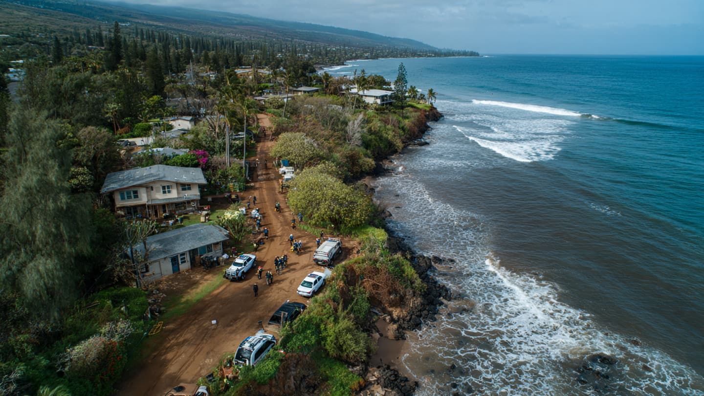
Seismologists reported that the quake was strong enough to be felt across a wide area, with shaking that caused minor structural damage in some communities. While no large-scale destruction has been reported, events of this magnitude often prompt rapid assessments of infrastructure and safety conditions.
Hawaiʻi’s location along complex tectonic boundaries means that earthquakes, though not always frequent at this level, are part of the region’s long-term geological reality. The interaction between volcanic systems and shifting plates contributes to occasional seismic activity.
Local authorities and emergency services typically respond to such events by inspecting roads, buildings, and utilities for damage. Public safety announcements are issued to ensure residents remain alert to possible aftershocks or secondary effects.
In many cases, modern building codes in Hawaiʻi are designed to reduce the risk of catastrophic structural failure during moderate seismic activity. However, older structures may still be vulnerable depending on construction standards and maintenance history.
Community response often includes both caution and resilience, as residents in earthquake-prone regions are generally familiar with emergency preparedness procedures. Schools, businesses, and households may temporarily adjust operations following seismic events.
Scientists continue to study earthquakes in the Hawaiian region to better understand patterns of volcanic and tectonic interaction. Each event contributes data that helps refine risk assessments and improve forecasting models over time.
For now, West Hawaiʻi begins the process of assessment and recovery from the shaking, with officials monitoring conditions and ensuring that any damage remains limited and contained.
AI Image Disclaimer: Some visuals accompanying this article may include AI-generated earthquake and geological activity illustrations.
Sources: USGS, Reuters, Associated Press, BBC, CNN
Note: This article was published on BanxChange.com and is powered by the BXE Token on the XRP Ledger. For the latest articles and news, please visit BanxChange.com