There is a particular invisibility to the crisis beneath our feet—a depletion that does not announce itself with dry riverbeds or cracked earth, but instead unfolds slowly, in the quiet emptying of aquifers that took millennia to fill. A new analysis of two decades of NASA satellite data has revealed that this hidden water crisis is significantly worse than previously understood, with human activity driving freshwater losses at a scale that had been underestimated by roughly a third.
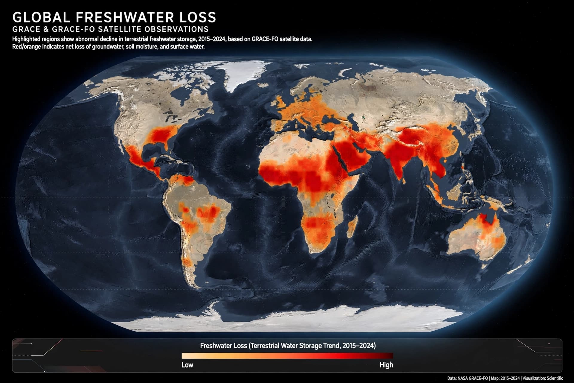
The study, published in the Proceedings of the National Academy of Sciences, used data from NASA’s GRACE and GRACE Follow-On missions, which track changes in Earth’s gravity to detect shifts in water stored on and beneath the land . Researchers applied a new processing method that achieved five to ten times the spatial resolution of traditional maps, allowing them to identify 94 regions with significant changes in water storage .
In 40 of those regions, the trends were primarily driven by human activities—groundwater pumping, irrigation, dam construction, deforestation, and land use changes. Across those 40 hotspots, total water losses reached approximately 3,122 billion tons, compared with gains of 2,432 billion tons . Earlier methods had underestimated the scale of regional changes by an average of 33 percent .
Groundwater depletion was particularly severe in major agricultural regions. Northern India, southern Iran, and the southern U.S. High Plains were among the areas showing pronounced losses, where underground reserves are heavily used for irrigation . The Middle East, northern Africa, and southeastern Brazil also showed widespread declines . Human land and water use had a significant influence on water storage trends across every non-polar continent except Australia .
“The regions of greatest concern are those already recognized as water-stressed, where we now observe losses even greater than previously estimated,” said Mary Michael O’Neill, an assistant research scientist at the University of Maryland and NASA’s Goddard Space Flight Center . The sharper picture reveals that freshwater depletion is more acute than earlier measurements suggested, with implications for food and water security, hydrological modeling, and climate predictions .
The findings do not offer an easy solution. Groundwater, once depleted, can take centuries or longer to recharge, if it recharges at all. The study underscores the need for better management in regions where agriculture depends heavily on underground water sources—a dependence that is growing even as the resource shrinks. What the satellites have revealed is a crisis that was always there, hidden in the spaces between measurements, now visible at last.
AI Image Disclaimer: The imagery in this article was generated using artificial intelligence for illustrative purposes only and does not depict the actual satellite data or regions described.
Sources: Gizmodo, Qazinform, ECOticias, NASA
Published by Banx Network. This article is part of the Banx decentralized media programme, powered by the BXE token on the XRP Ledger.